77+/- Acres Delaware County IA
- Video
- Photos
- Satellite
77 Acres +/-
$1,078,000
Iowa
Delaware
#57594
Description
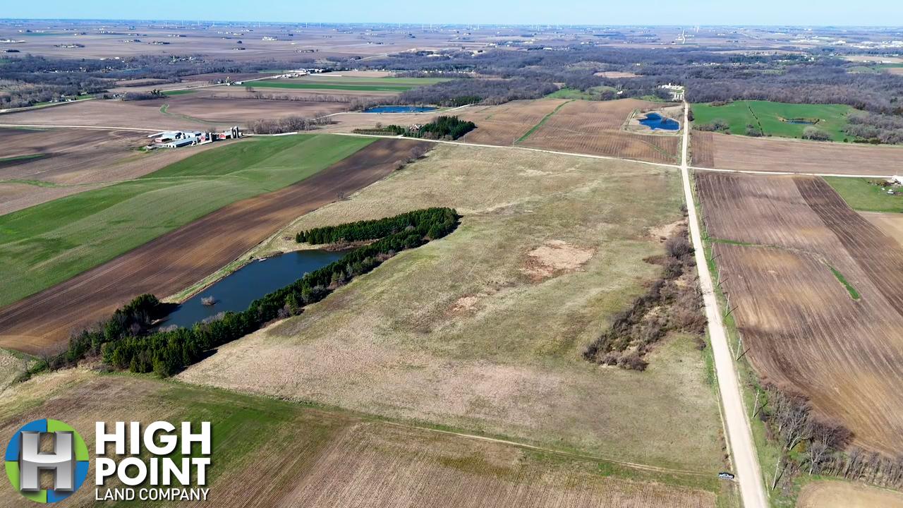
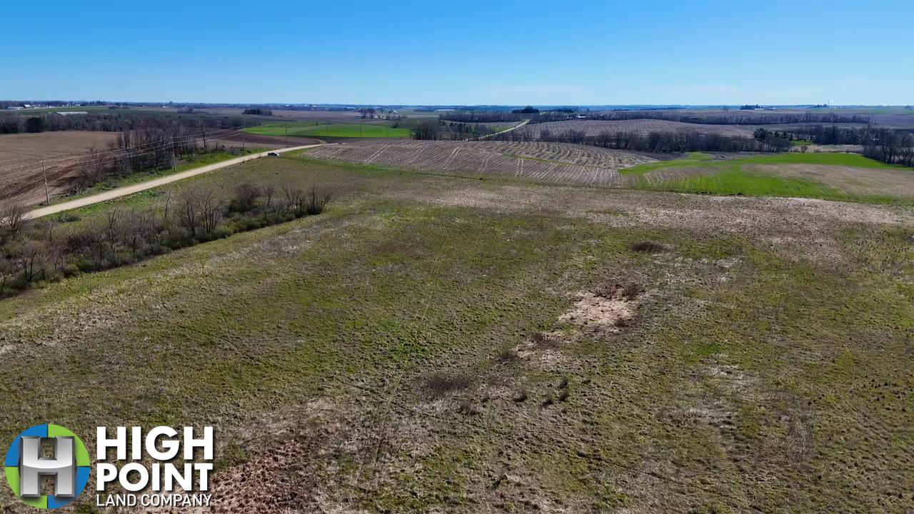
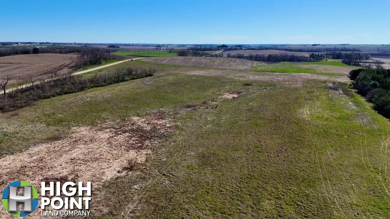
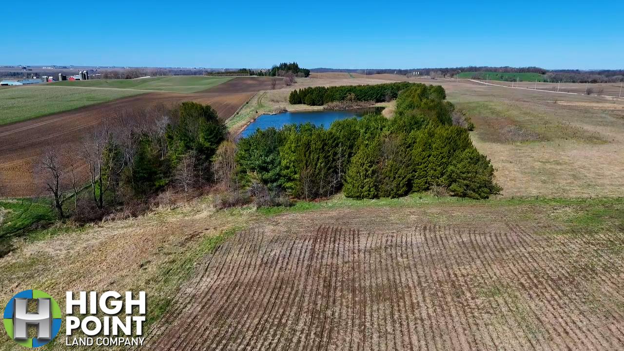
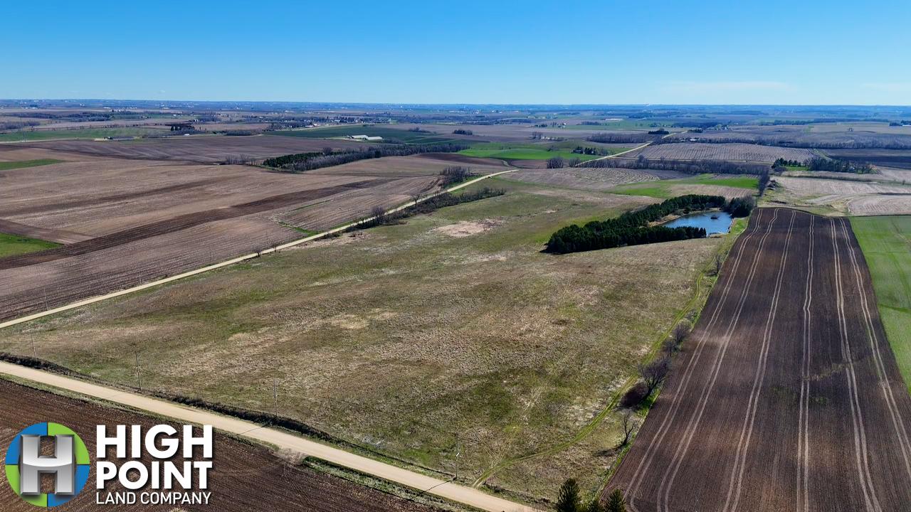
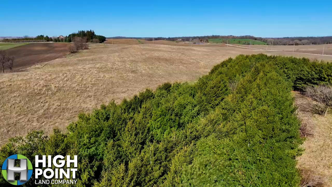
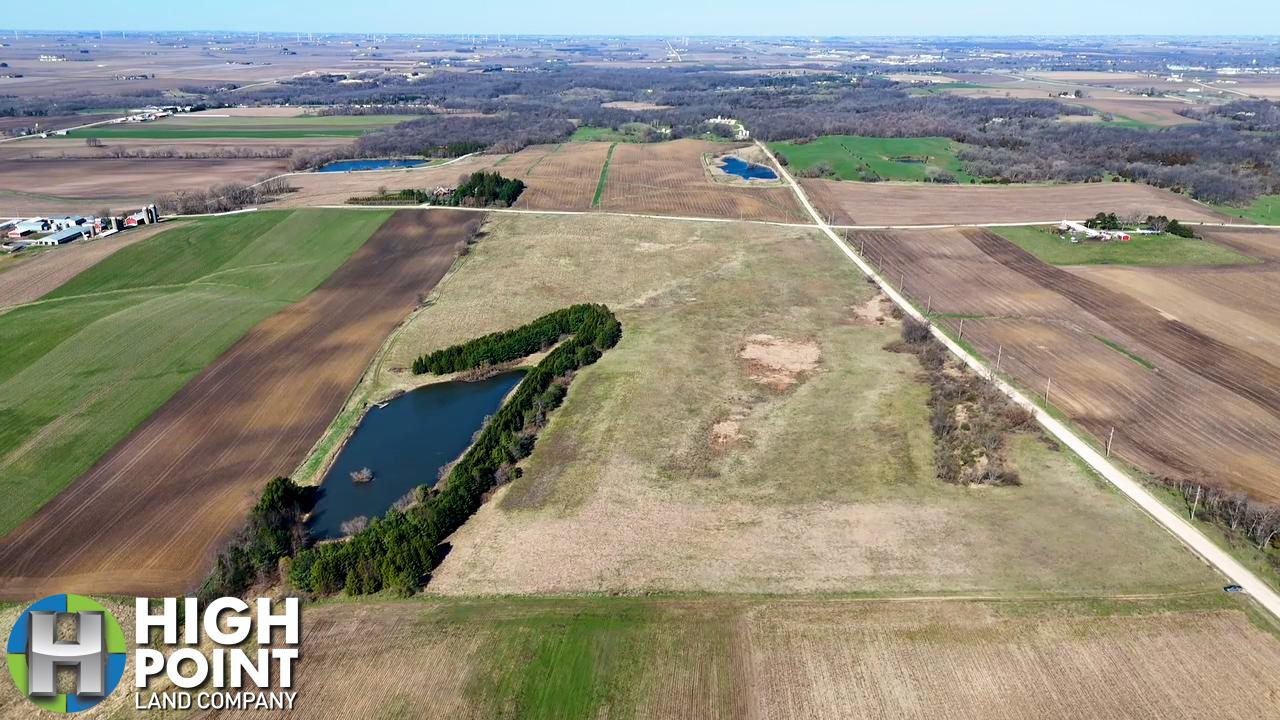
High Point Land Company is pleased to present 77+/- acres located 1.5 miles North of Lake Delhi, between Delaware and Manchester Iowa. The farm consists of 66.86+/- FSA certified Cropland acres carrying an average CSR2 rating of 55.1. The soils on the tillable acres consist of Fayette silt loam, paha, Chelsea loamy find sand and Colo-Ely complex. Currently the tillable acres are enrolled in the Conservation Reserve Program generating $18,482 annually and the contract is set to expire September 30th 2027.
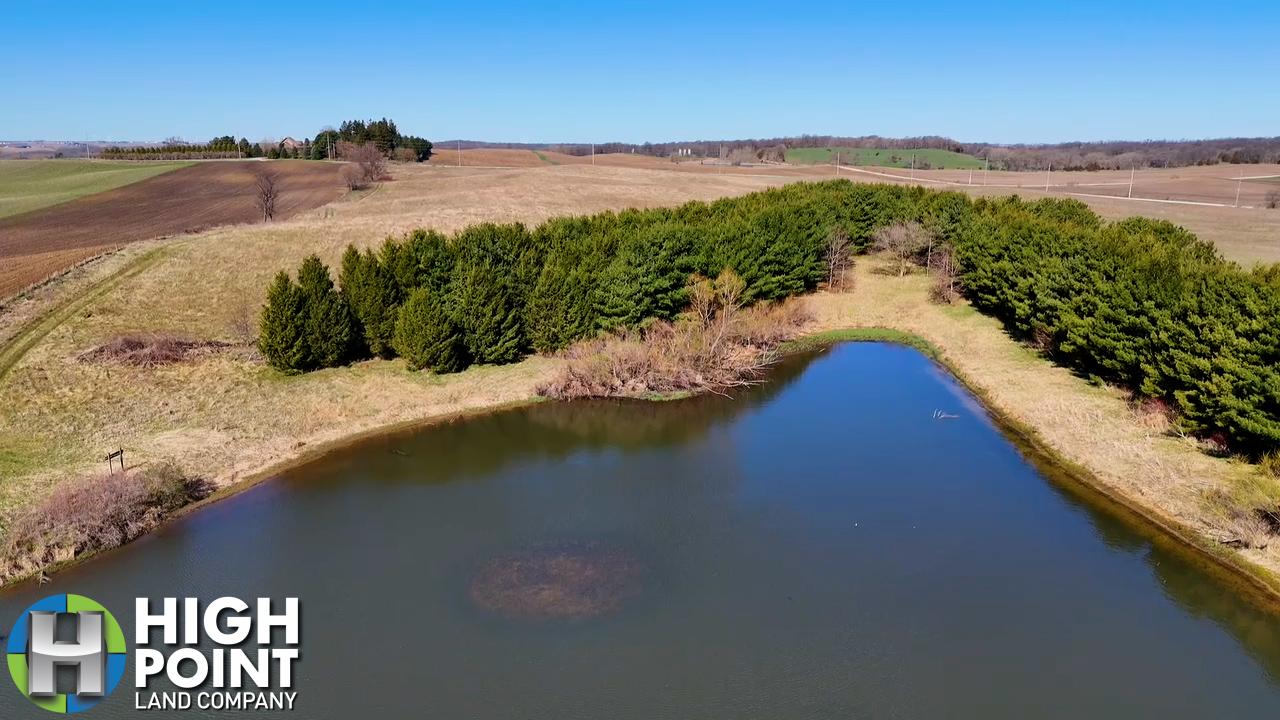
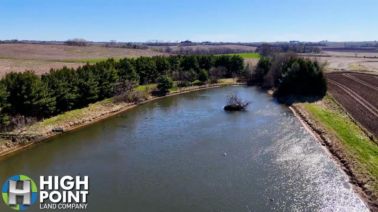
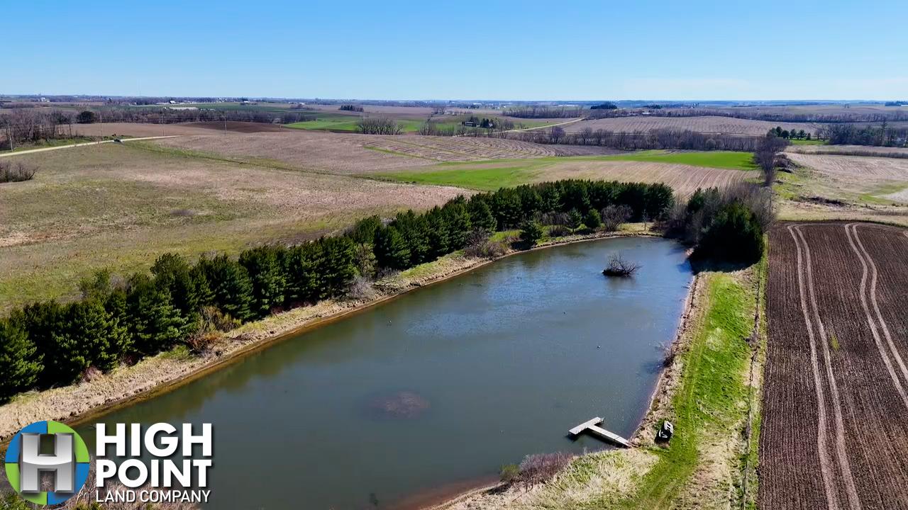
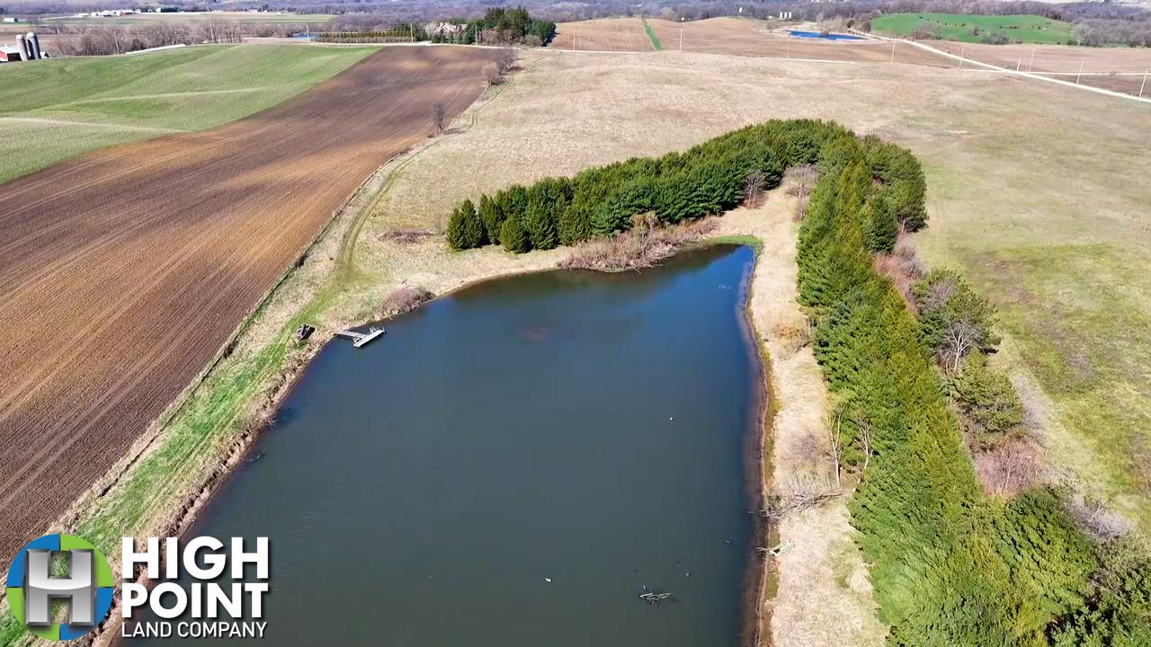
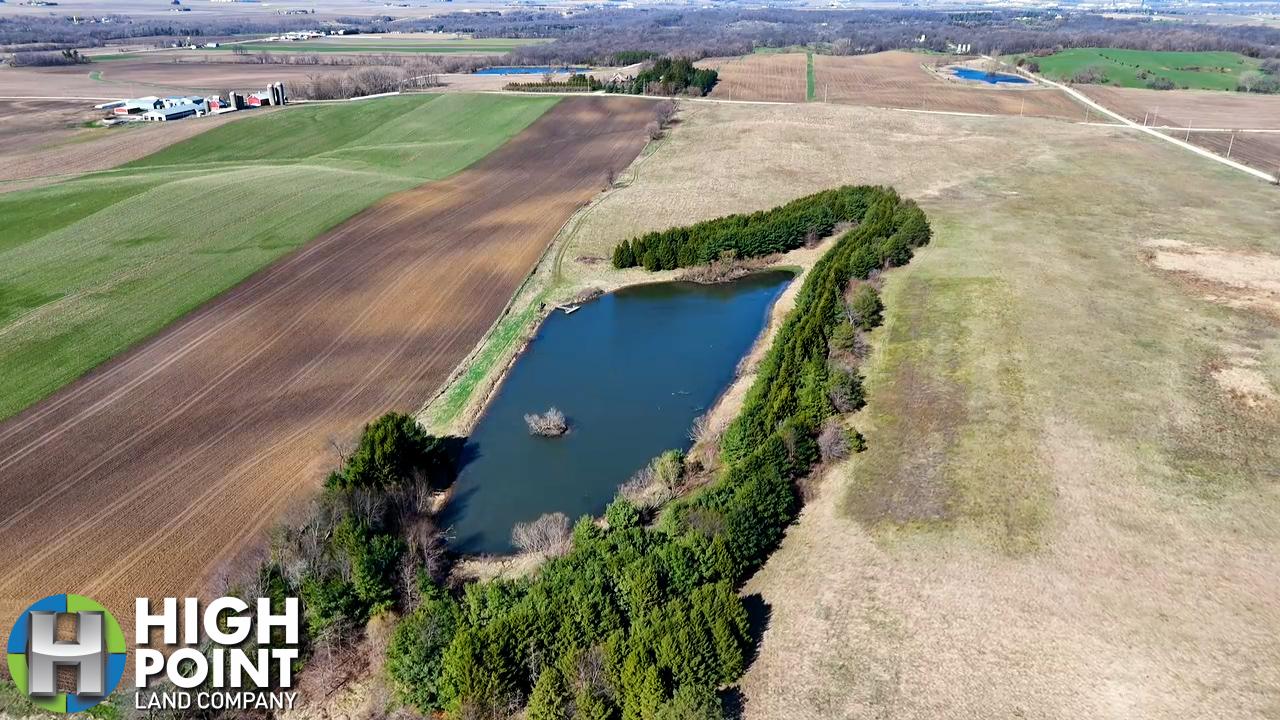
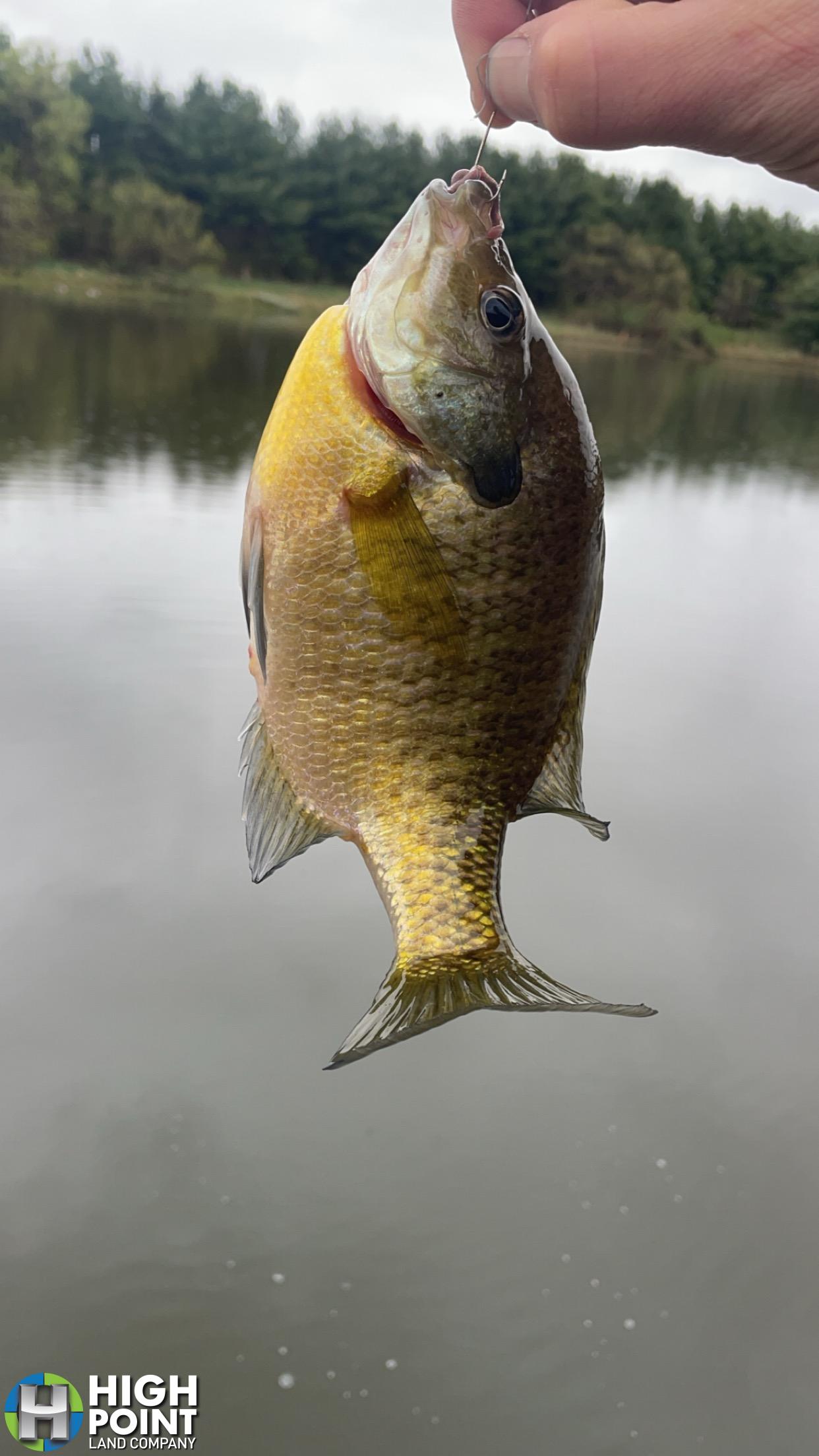
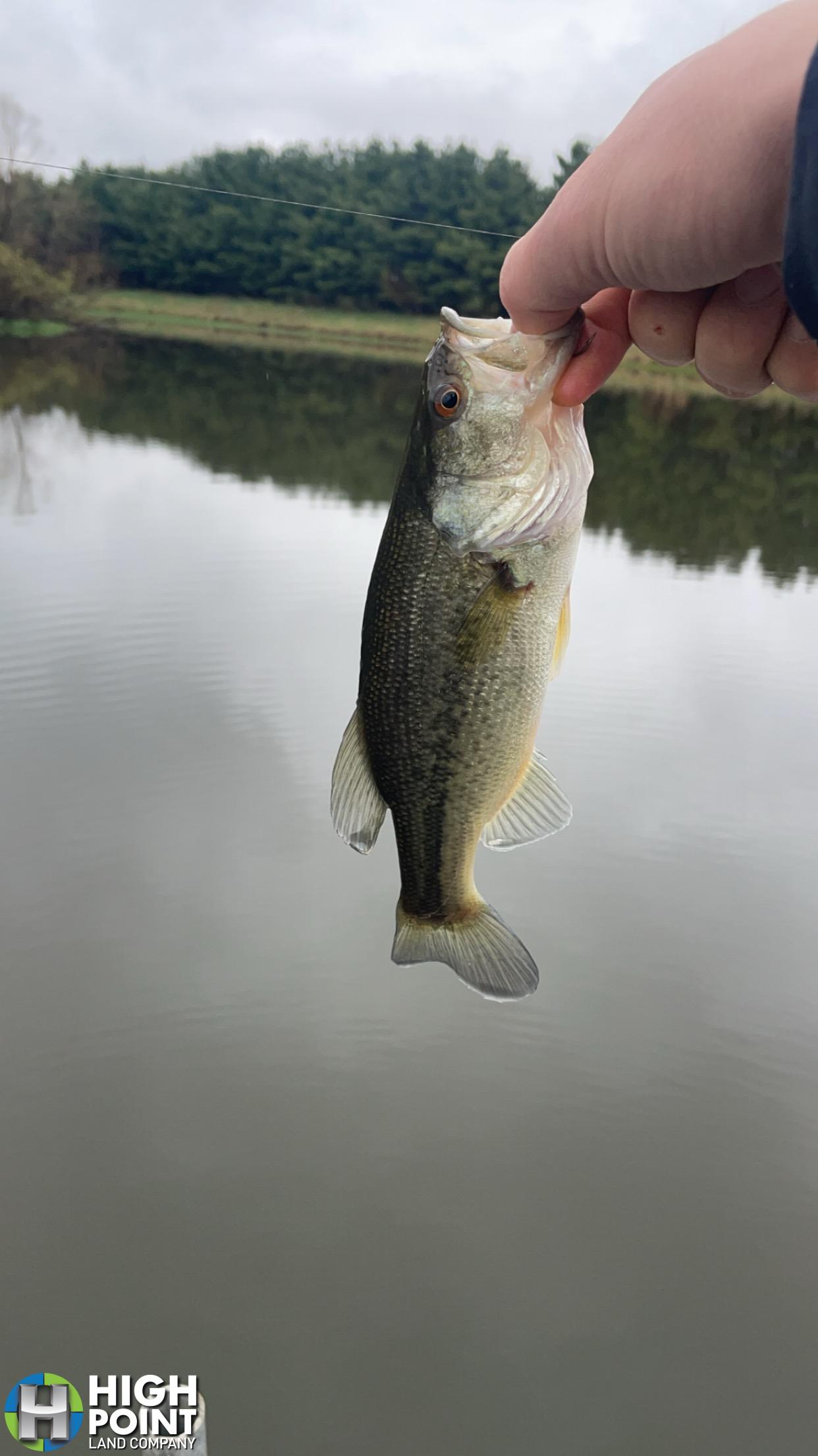
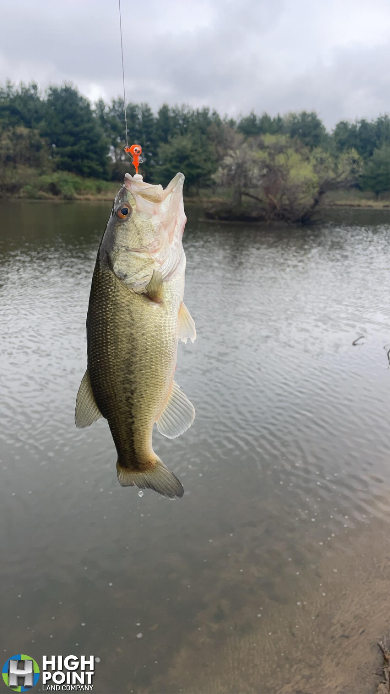
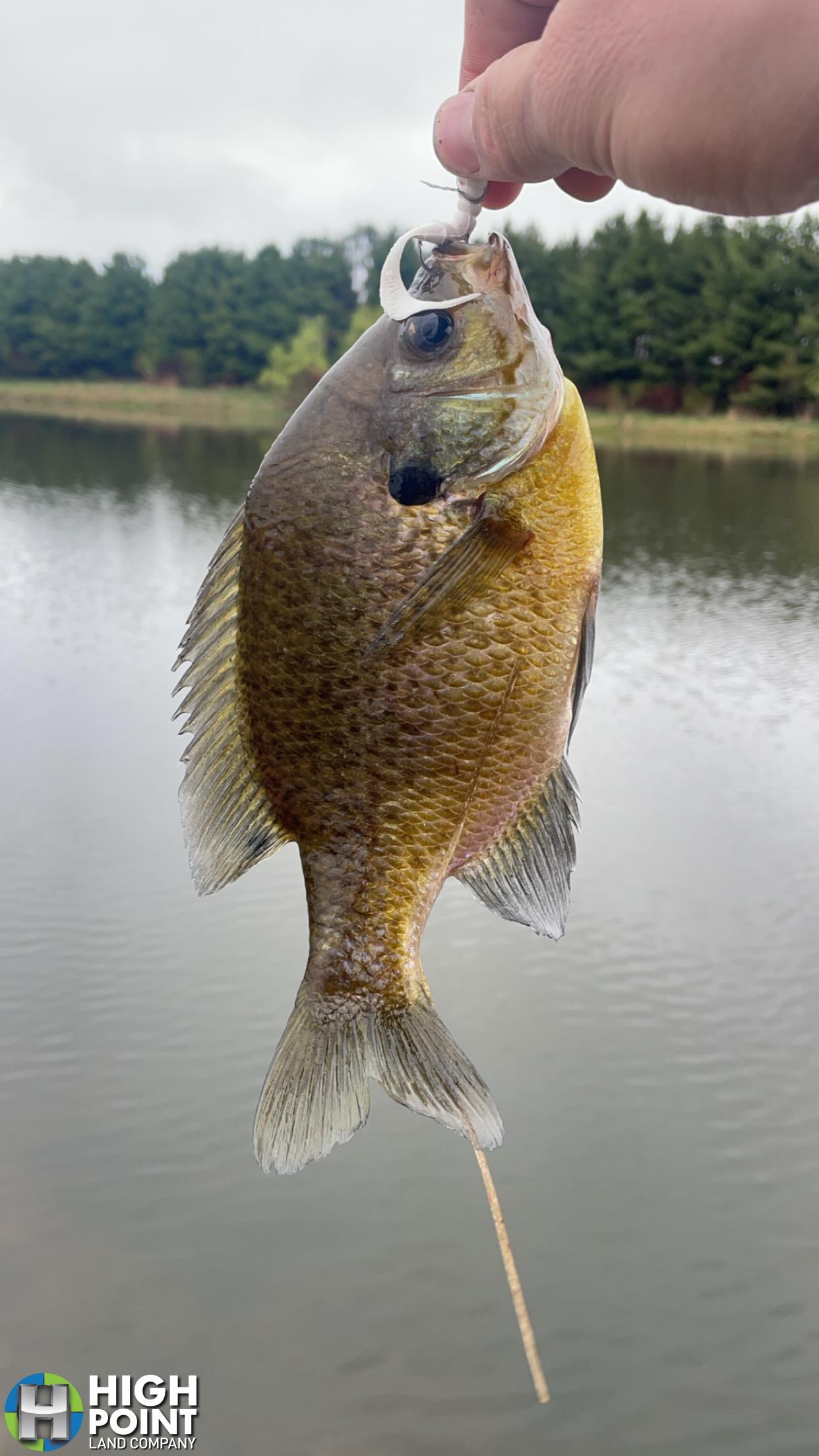
There is a 3.5 acre established pond in the Southeast corner of the Property that is stocked with fish and has a dock. With the established evergreen wind break around the pond, this creates an excellent setting for a private secluded camping site next to the established pond. The property offers multiple excellent buildable sites on either road with great access.
Whether you are looking to add a mostly tillable 80 to your farming operation or Land portfolio, or wanting a nice recreational property with upland game and fishing opportunities this property’s diversity offers an excellent opportunity in an area where land rarely comes available to the public.
For more information please contact Local land specialist and listing agent Matt Tobin at 563-451-7390 or matt@highpointlandcompany.com.
Property Address:
TBD 210th Ave, Delhi, IA 52223
Property Features:
- 77+/- Acres
- 66.86 FSA Certified Cropland Acres
- 55.1 CSR2
- Tillable Acres Enrolled in CRP
- 3.5 Acres Secluded Pond with Evergreen Windbreak
- Stocked Pond with Dock
- Located between Delhi and Delaware
- Located 1.5 Miles from Lake Delhi
- Excellent Access off 230th Street and 210th Ave
Driving Directions:
From Delaware, travel South on Highway 38 1 mile, turn right on 230th Avenue, travel .2 miles and turn right 230th Street, travel 1.5 miles and the farm is on the Left (South)
View Associated Files

Aerial Map
Soils Map
Topo Map
Wetlands Map