39+/- Acres Davis County, IA
- Video
- Photos
- Maps
- Satellite
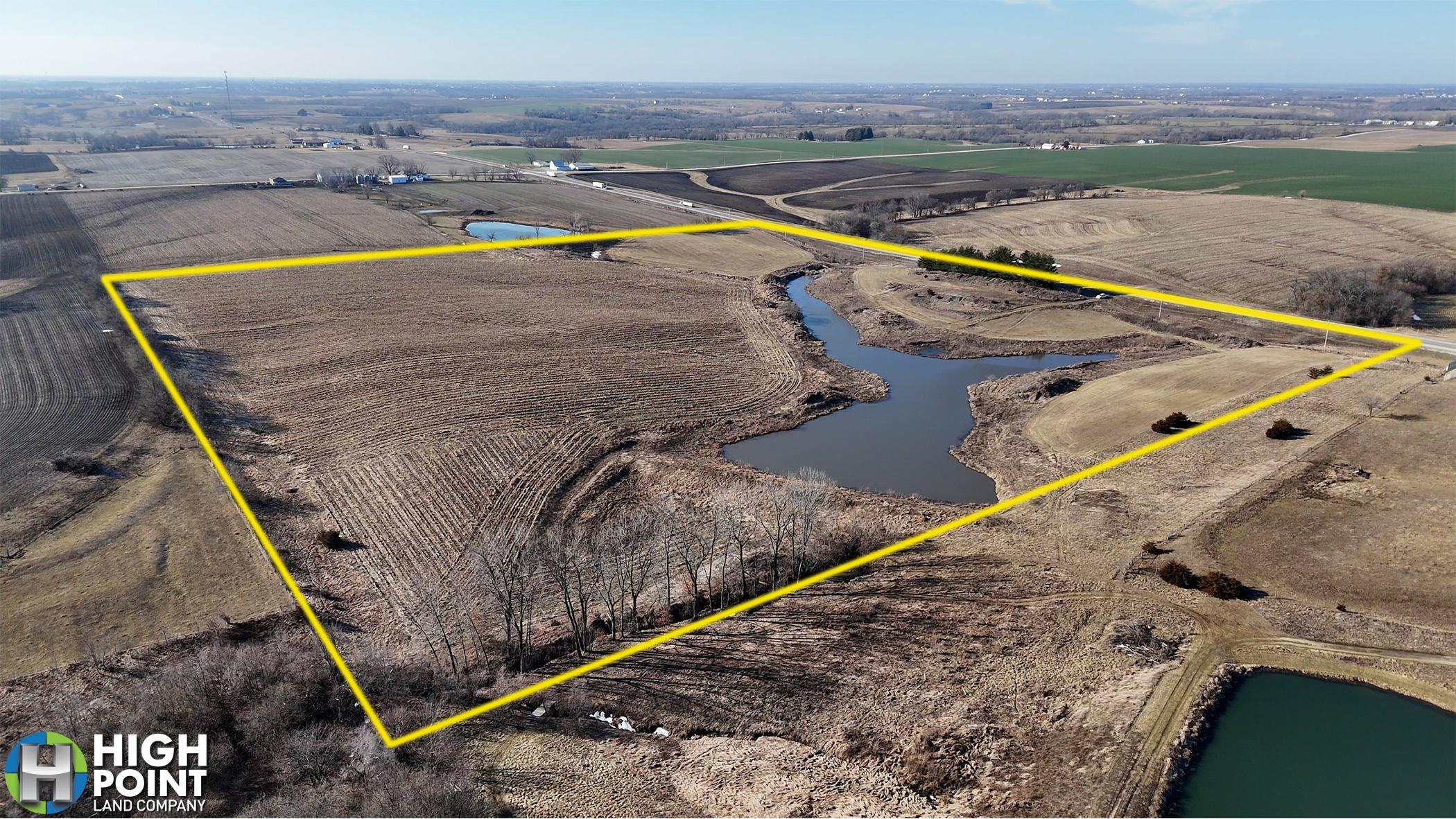


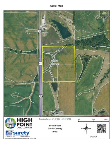


38 Acres +/-
$312,000
Iowa
Davis
#54393
Description
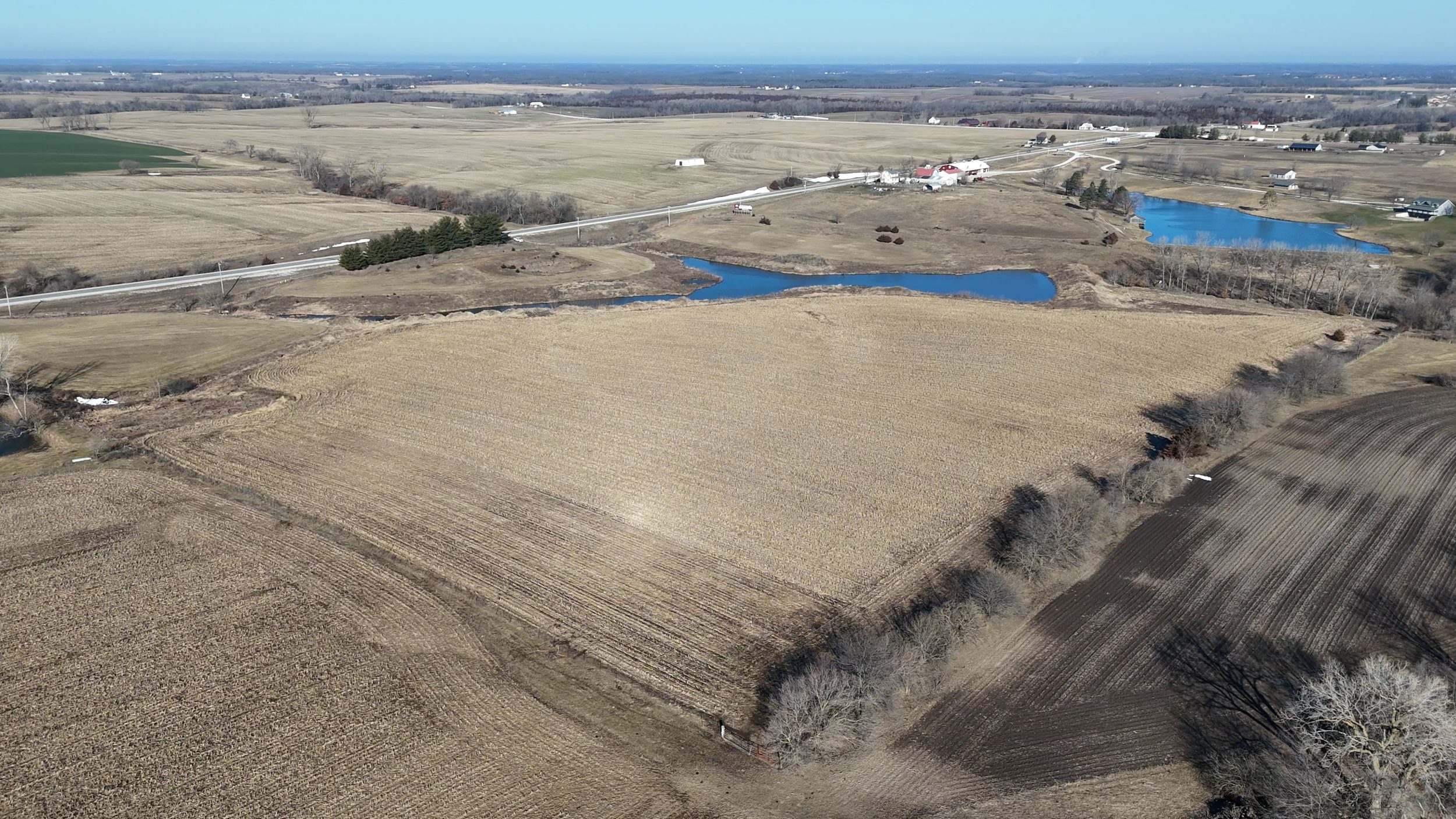
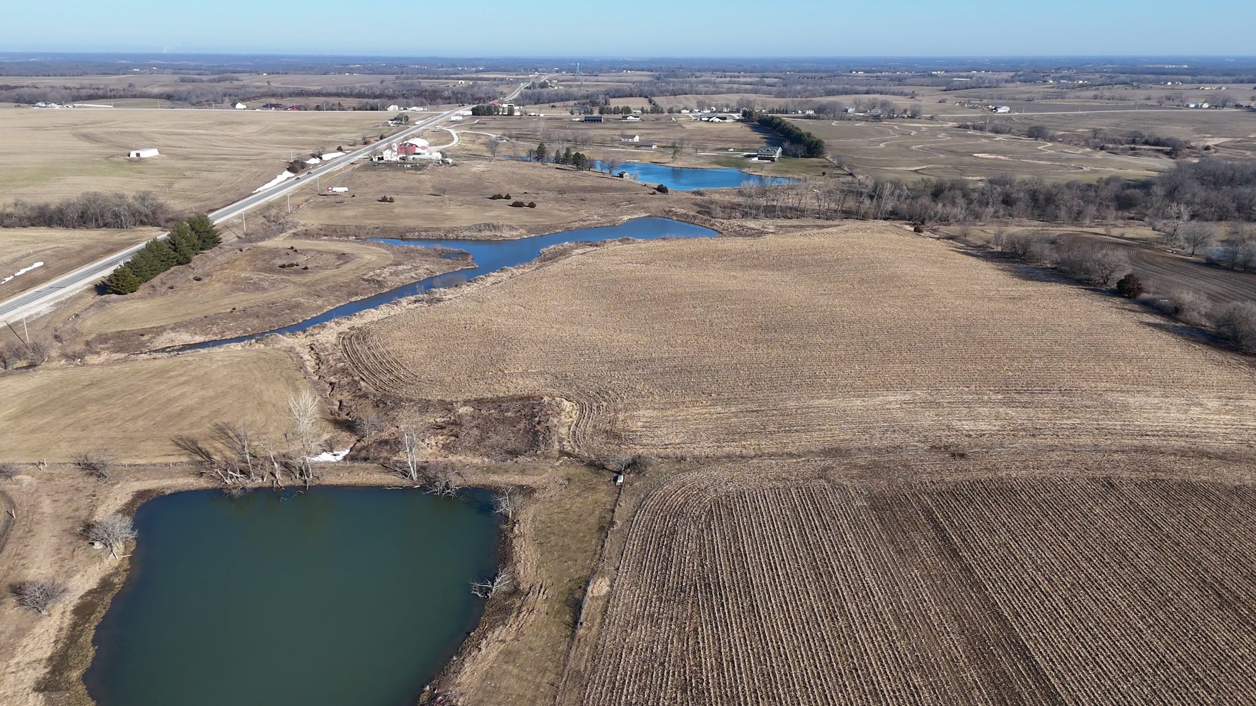
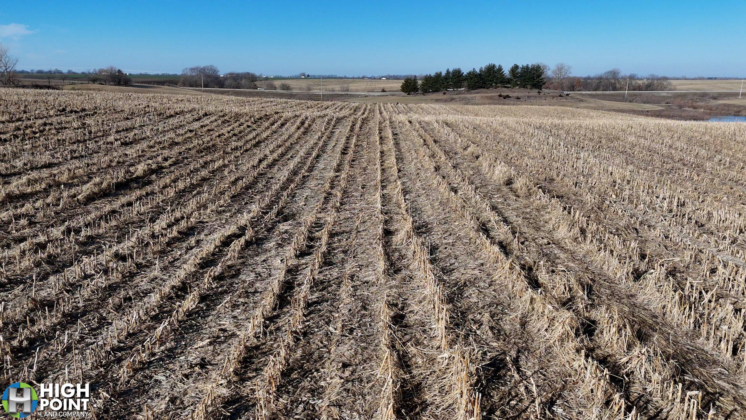
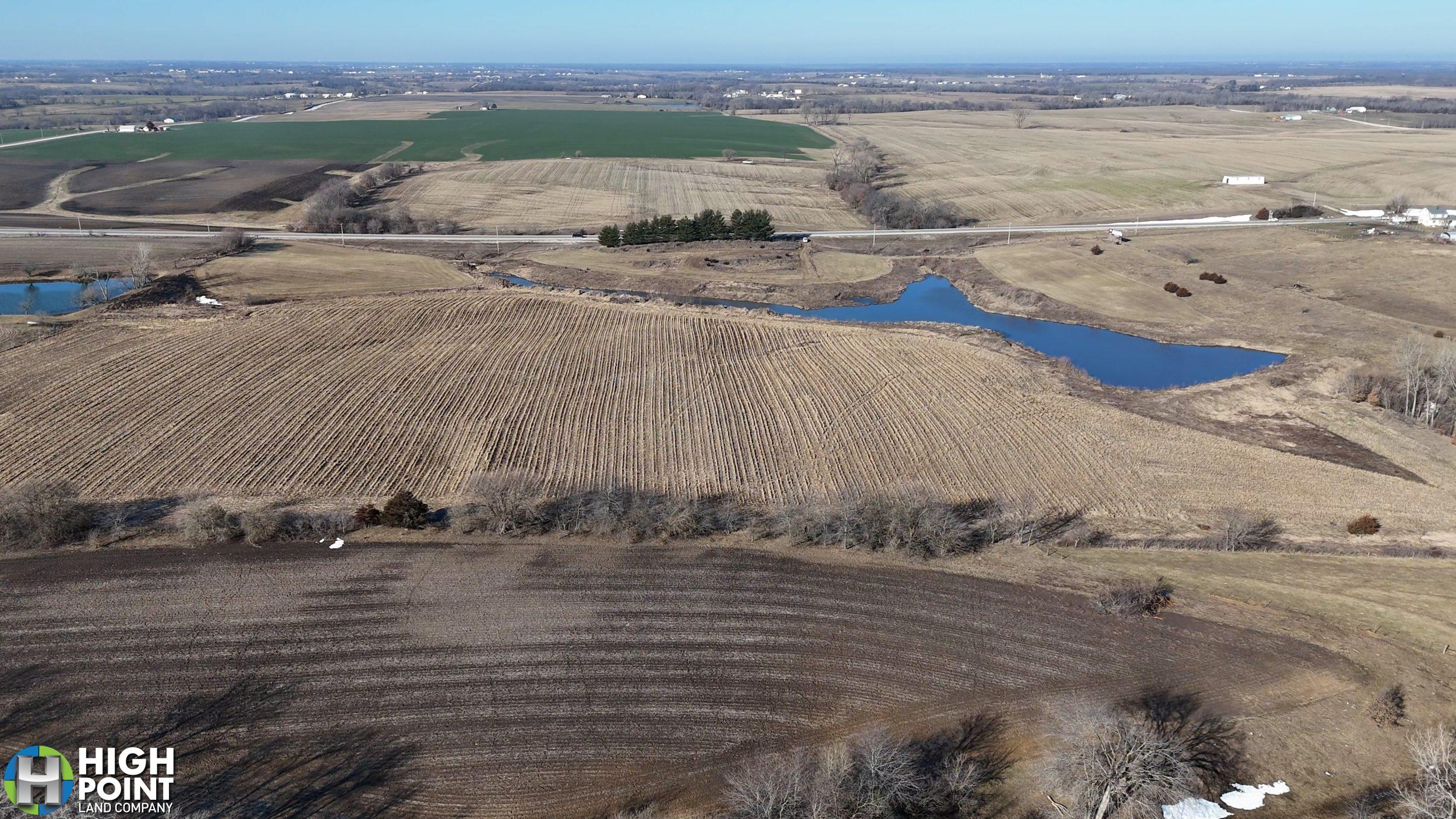
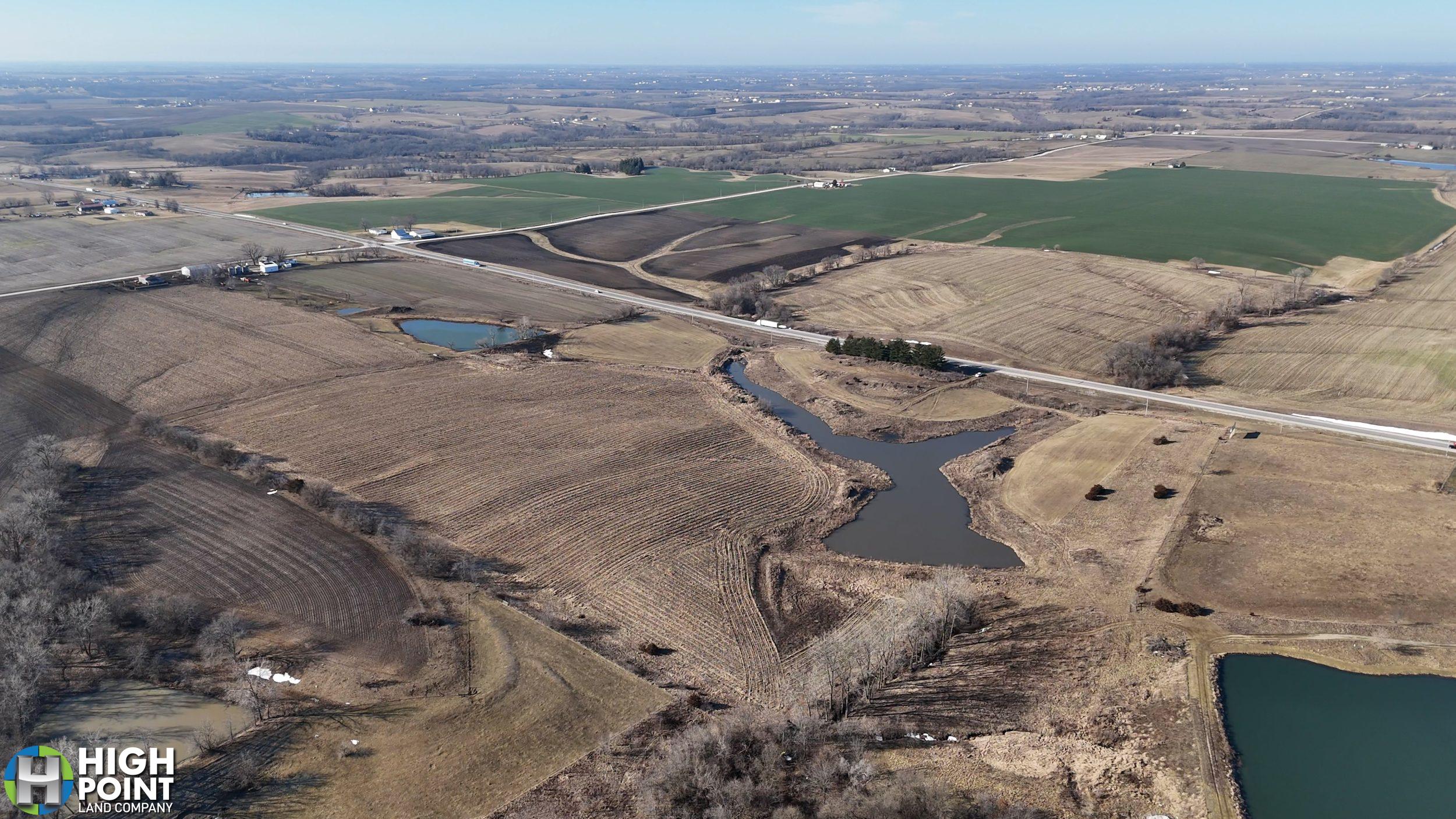
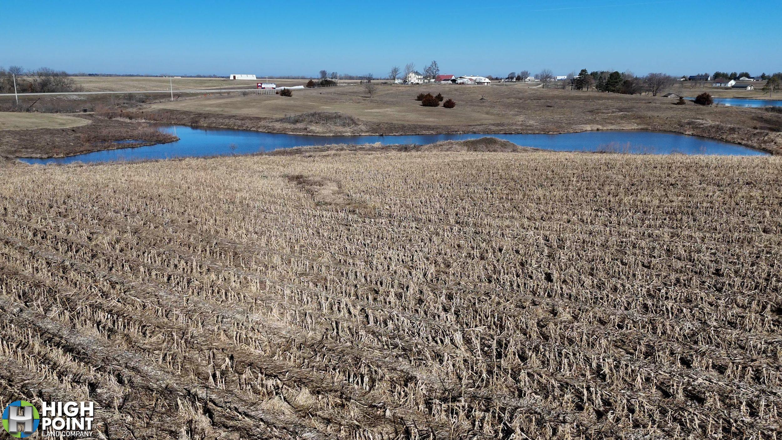
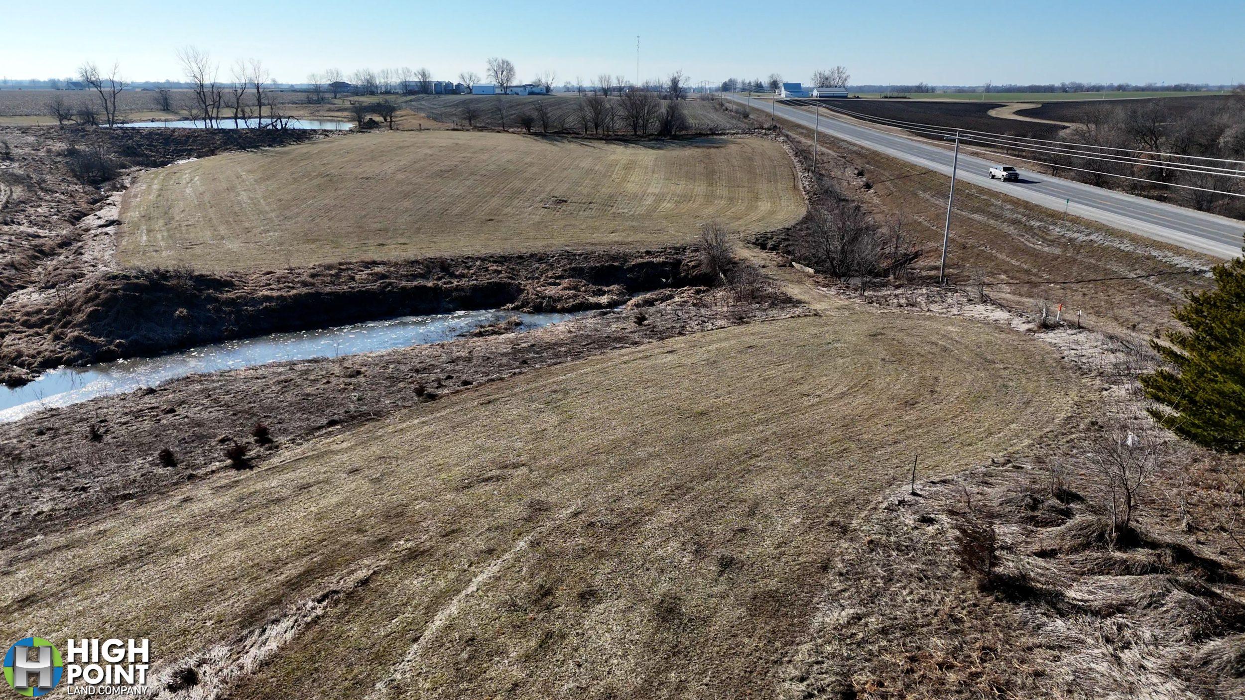
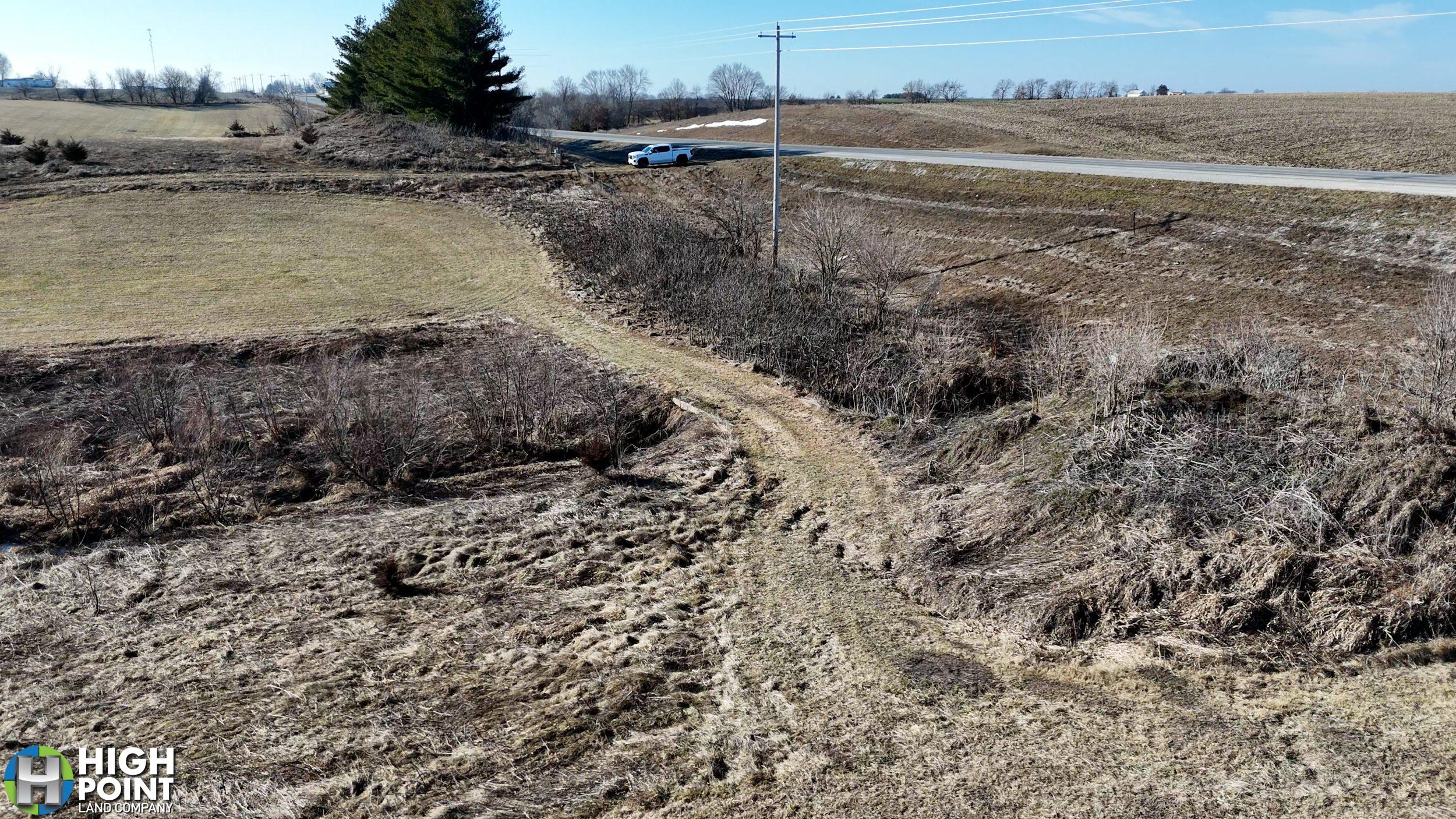
Welcome to your dream property nestled north of Bloomfield, Iowa, offering a picturesque landscape of approximately 39+/- acres. Conveniently situated along the bustling Highway 63, this expansive parcel of land promises boundless possibilities for residential, agricultural, or commercial ventures.
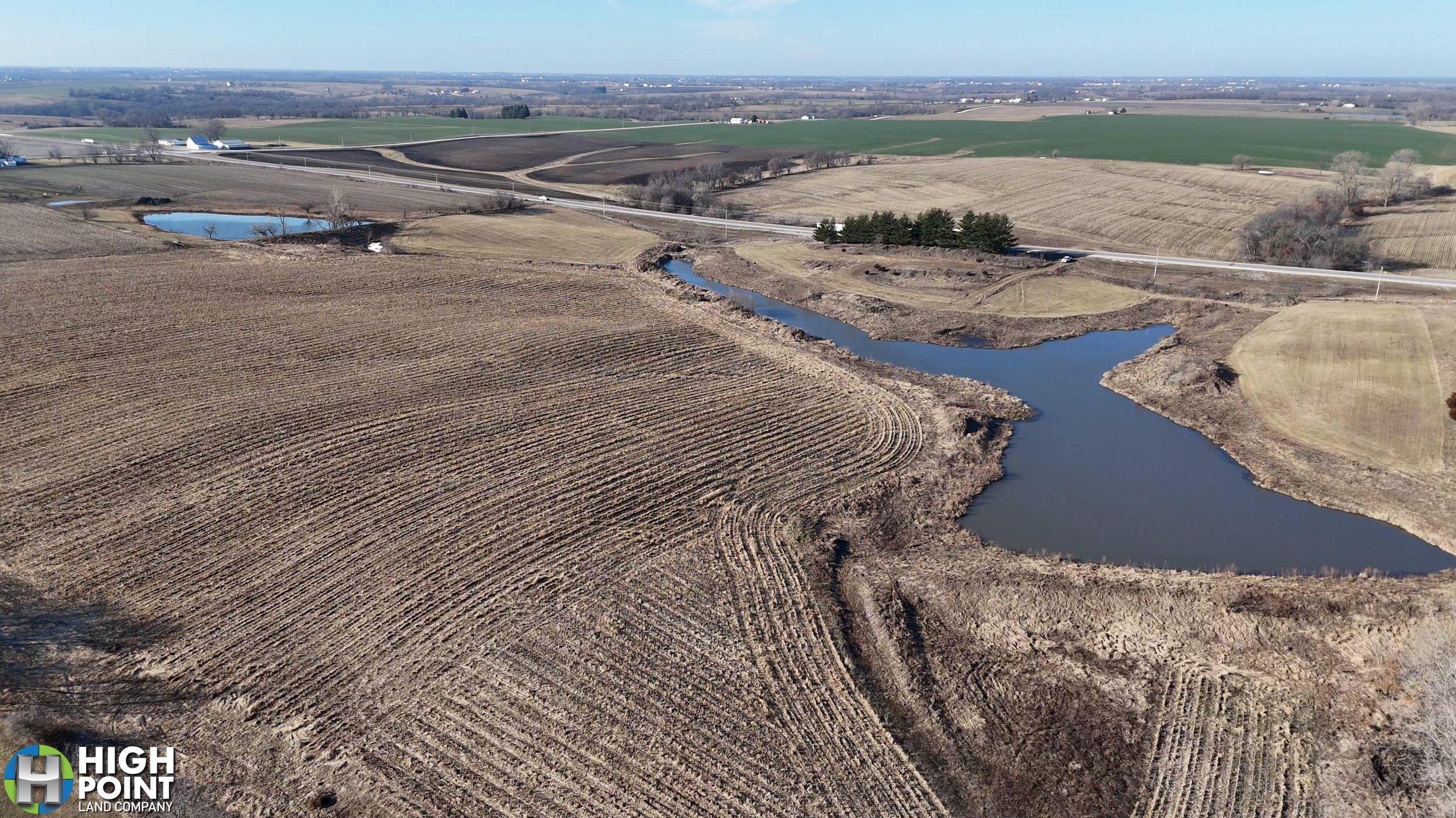
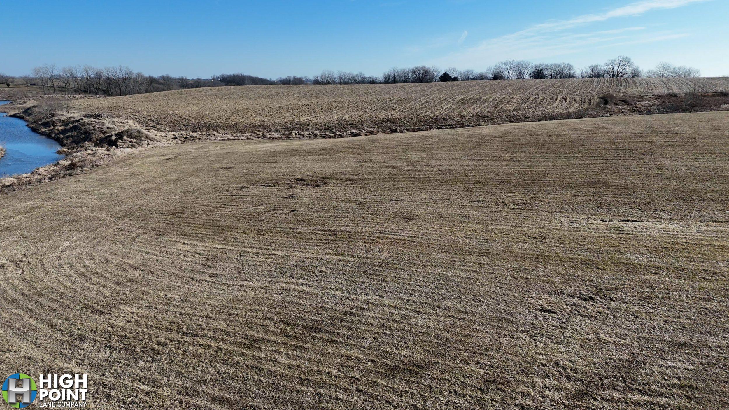
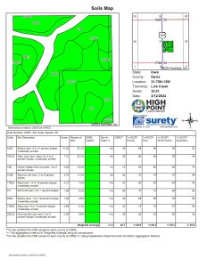
With 32.12 FSA certified cropland acres, this property guarantees a steady and positive return on investment annually. Whether you’re considering cultivation, livestock, or leasing options, the fertile land ensures potential prosperity for agricultural or commercial endeavors.
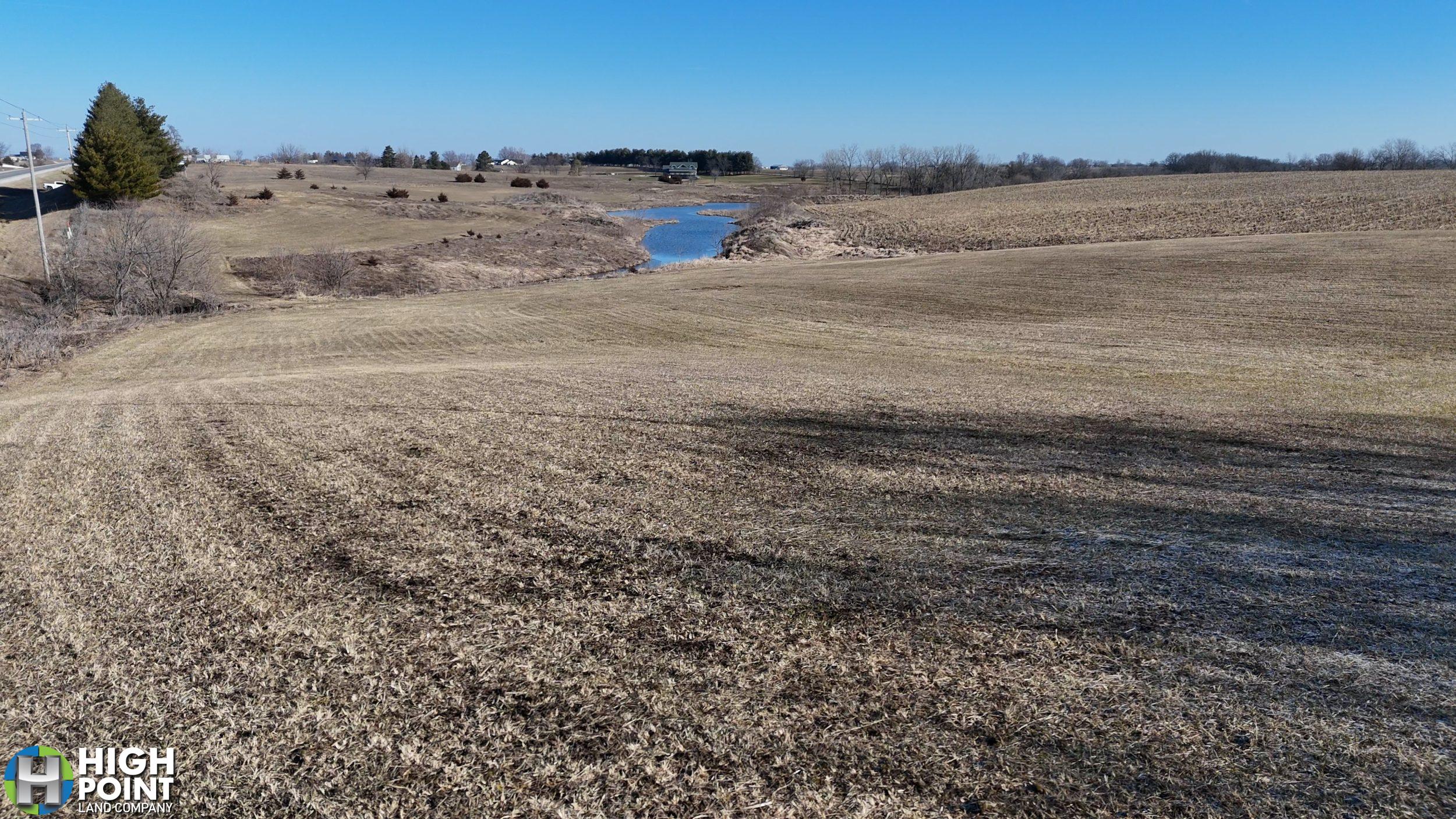
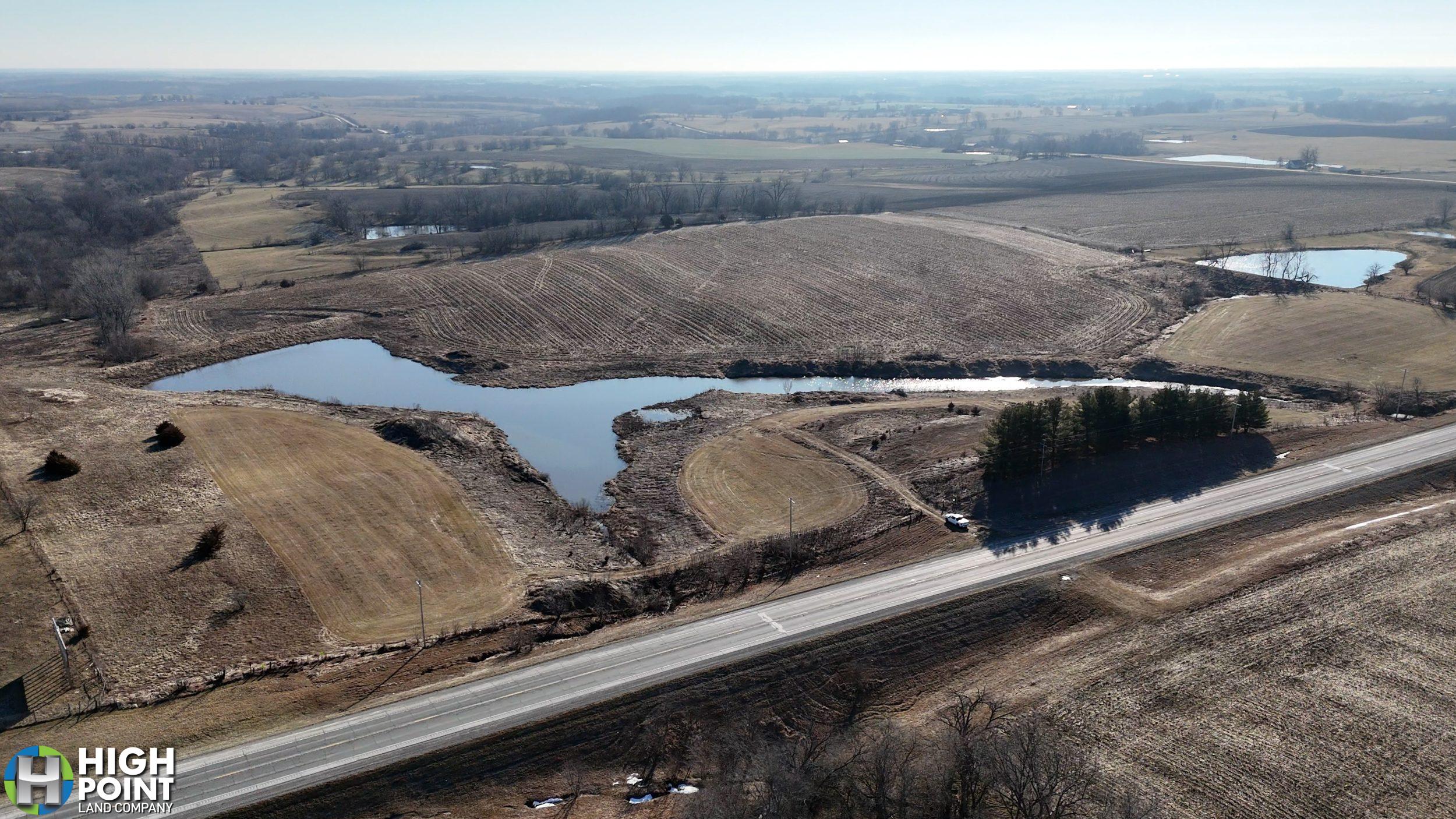
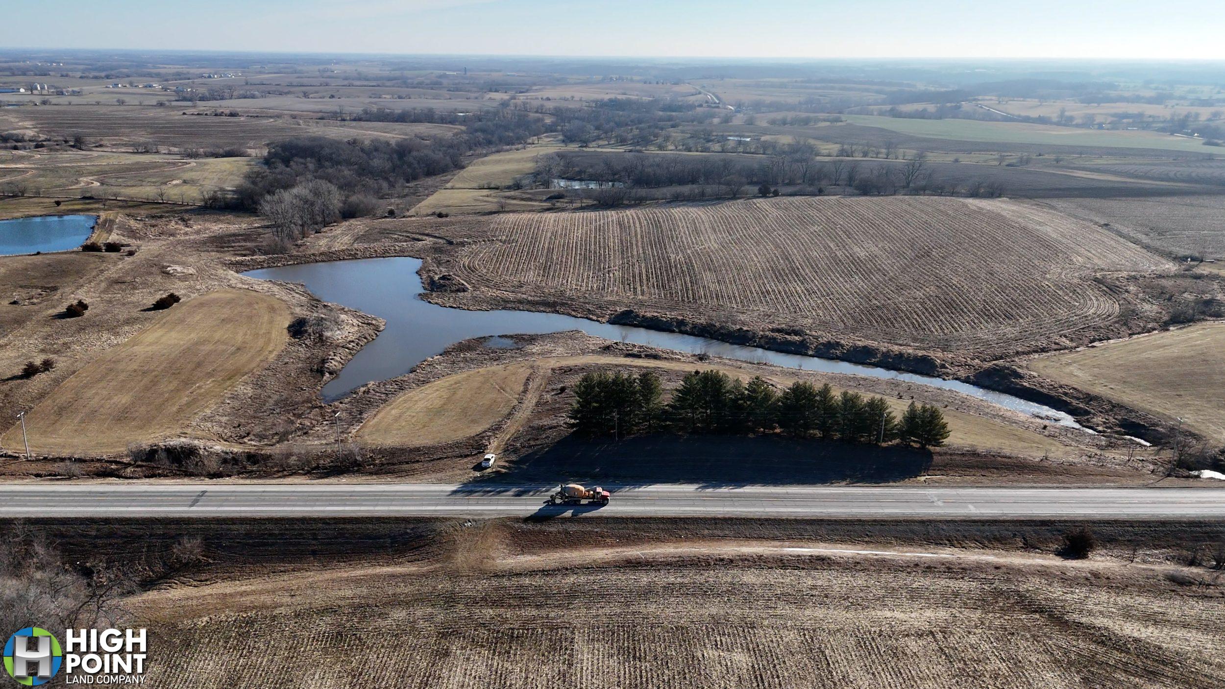
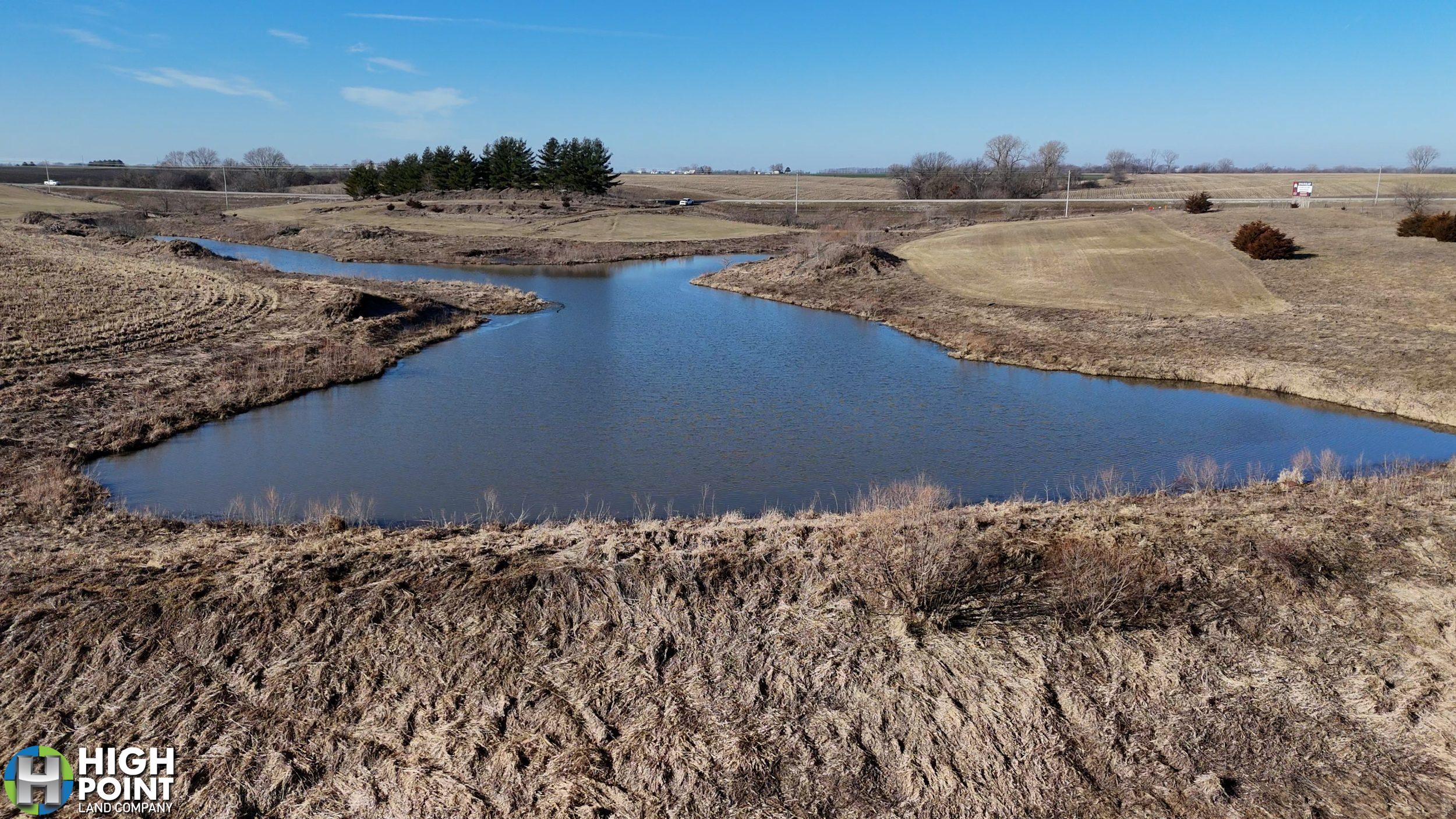
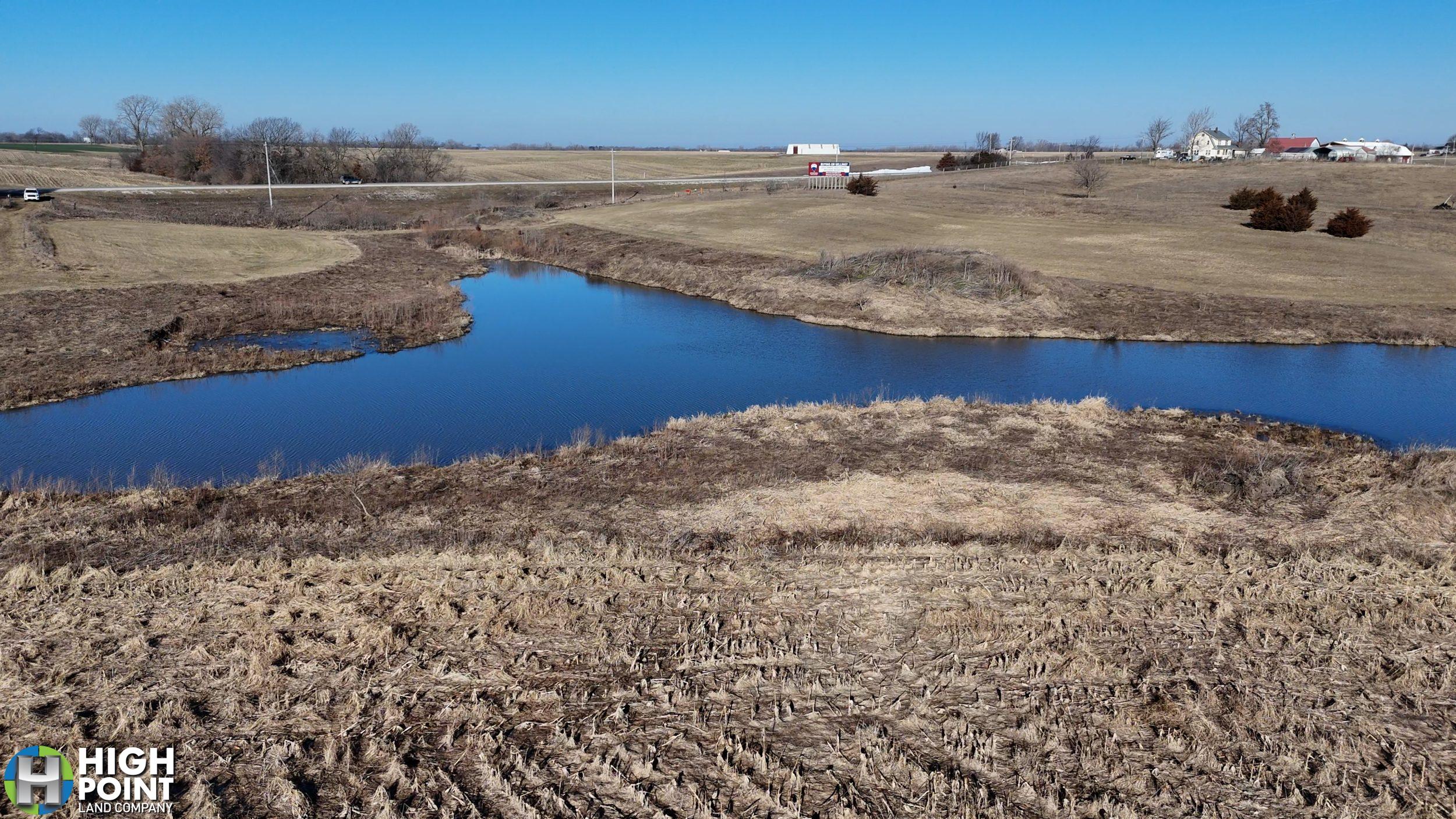
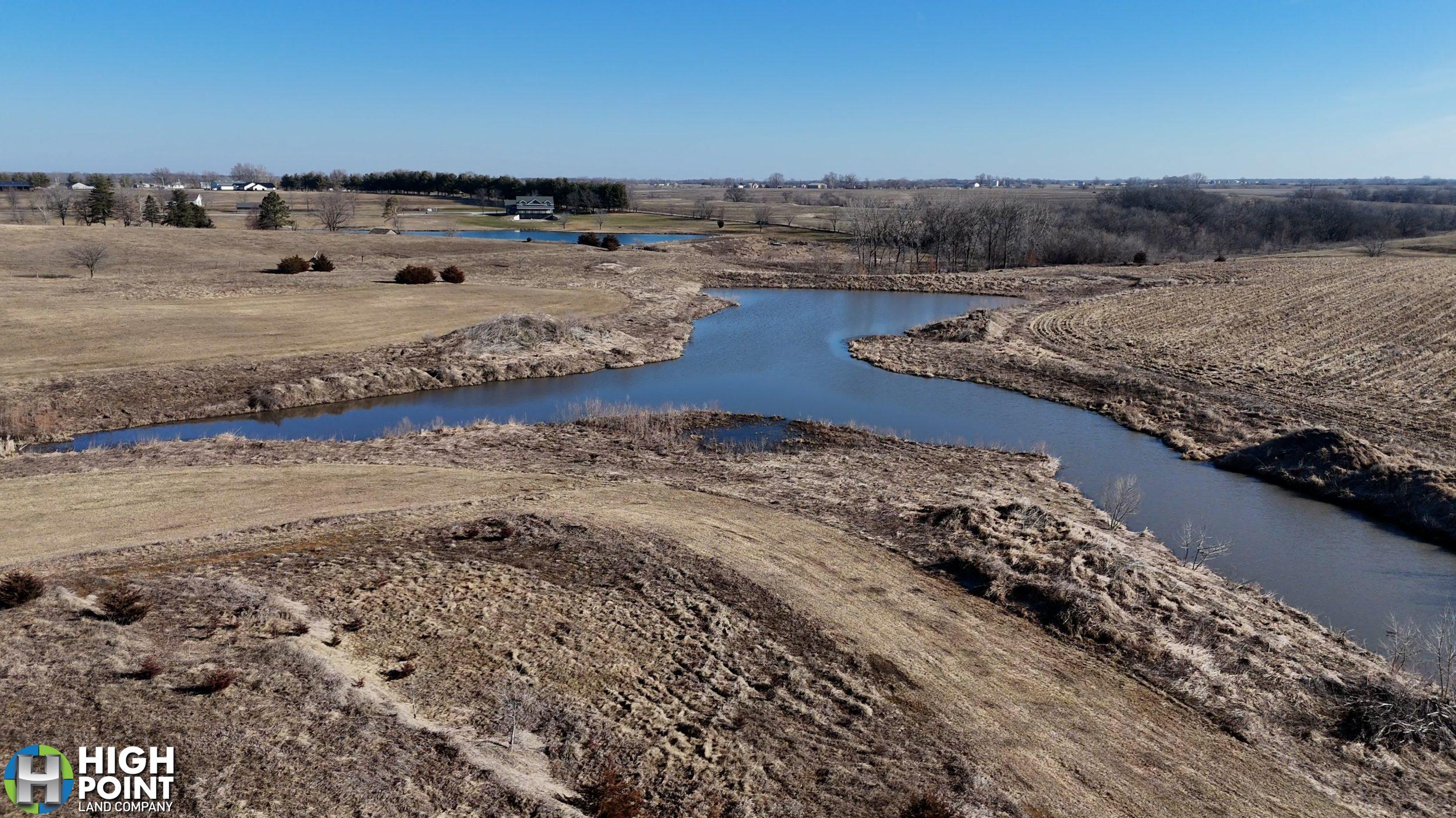
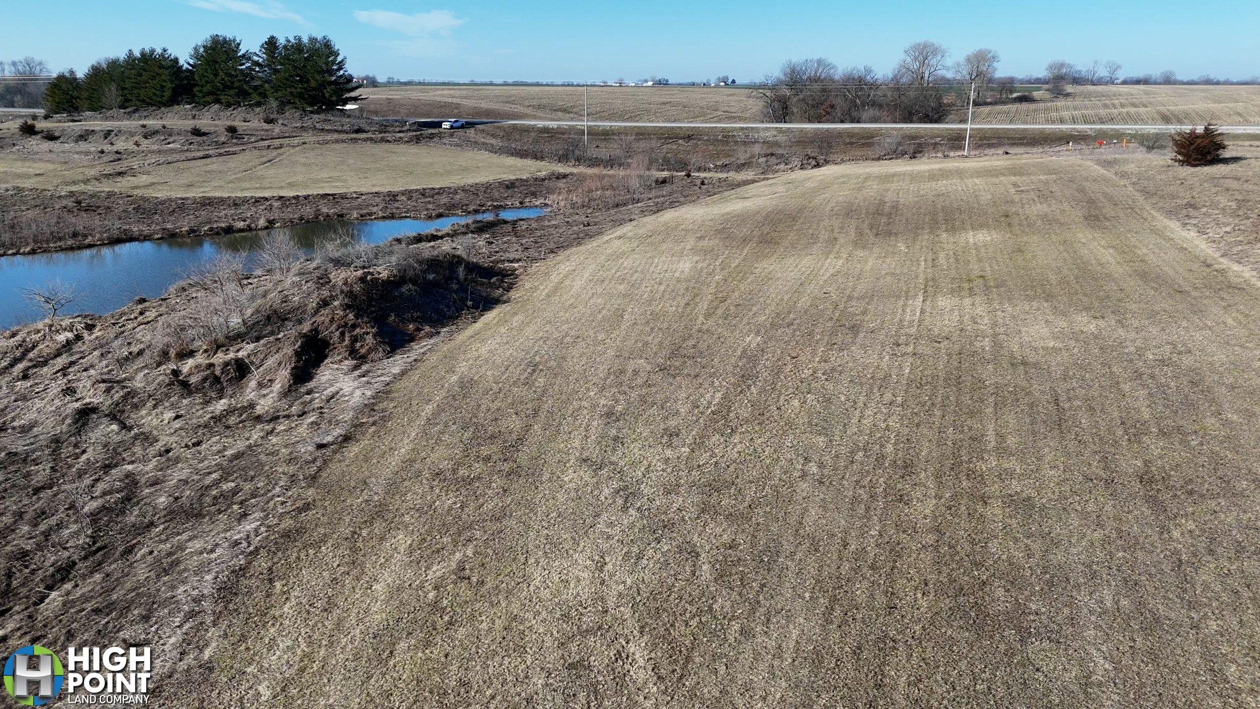
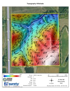
Envision crafting your ideal homestead with captivating views overlooking the tranquil 2.8-acre farm pond. The serene ambiance of the water, coupled with the sprawling acreage, provides an idyllic setting for creating cherished memories and a place to call home.
Beyond its agricultural potential, this property presents itself as an exceptional building site. Its strategic location along Highway 63 offers unparalleled visibility and accessibility, making it an ideal spot for commercial development or your custom-designed residential sanctuary.
Immerse yourself in the rural charm and natural beauty that this property offers. From its verdant fields to its shimmering pond, every corner of this land beckons with promise and potential. Don’t miss the opportunity to make your vision a reality on this remarkable piece of real estate north of Bloomfield, Iowa.
* Special Terms Available – Call Ethan Stubbs at 608-306-1788 *
Property Address:
TBD Highway 63 Bloomfield, IA 52537
Property Features
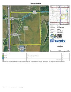
- 2.8 acre Pond
- Income Producing
- 46.7 CSR2
- Buildable
- Excellent Location
- Highway Frontage
Driving Directions:
View Associated Files

Aerial Map
Soils Map
Topography Hillshade Map
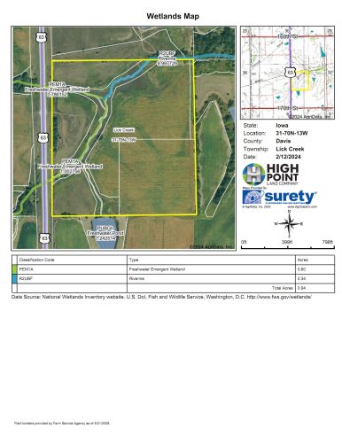
Wetlands Map