21.41 +/- Acres Winneshiek County, IA
- Photos
- Satellite
21.41 Acres +/-
$250,000
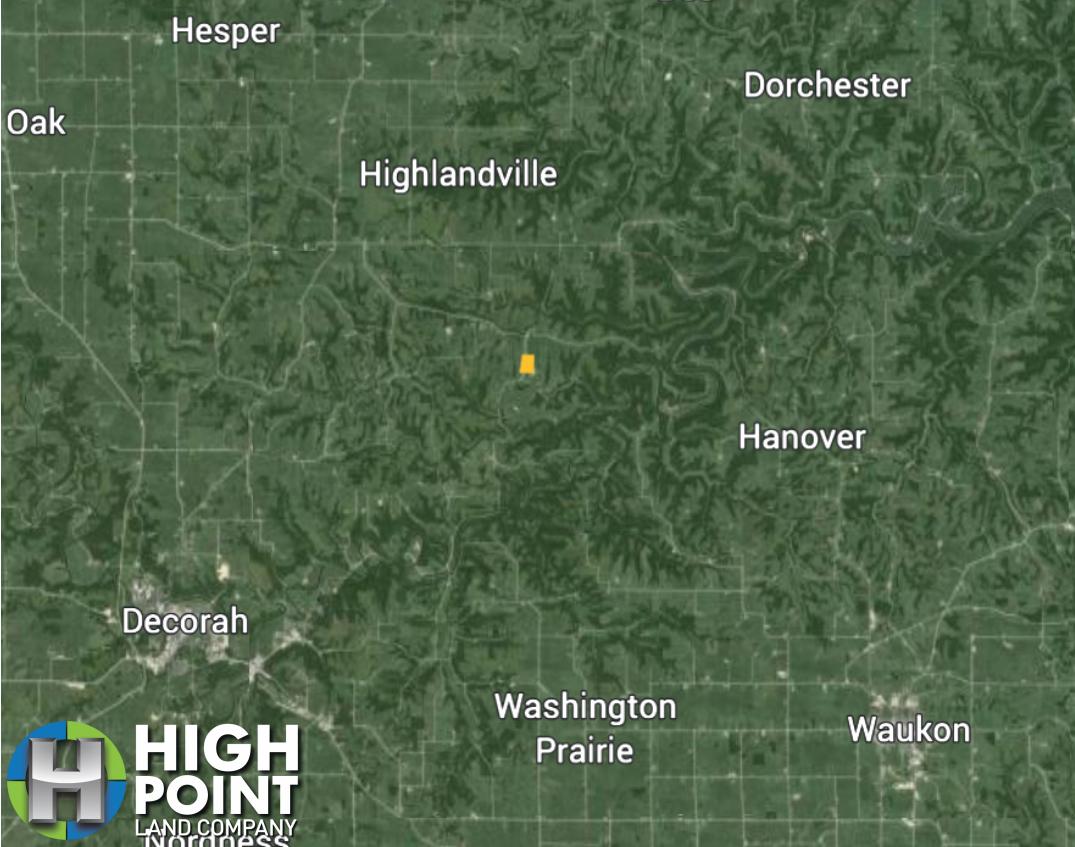
Iowa
Winneshiek
#57670
Description
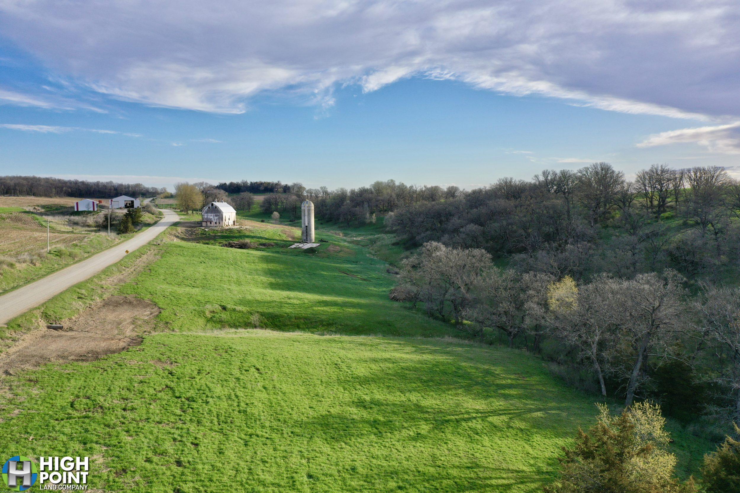
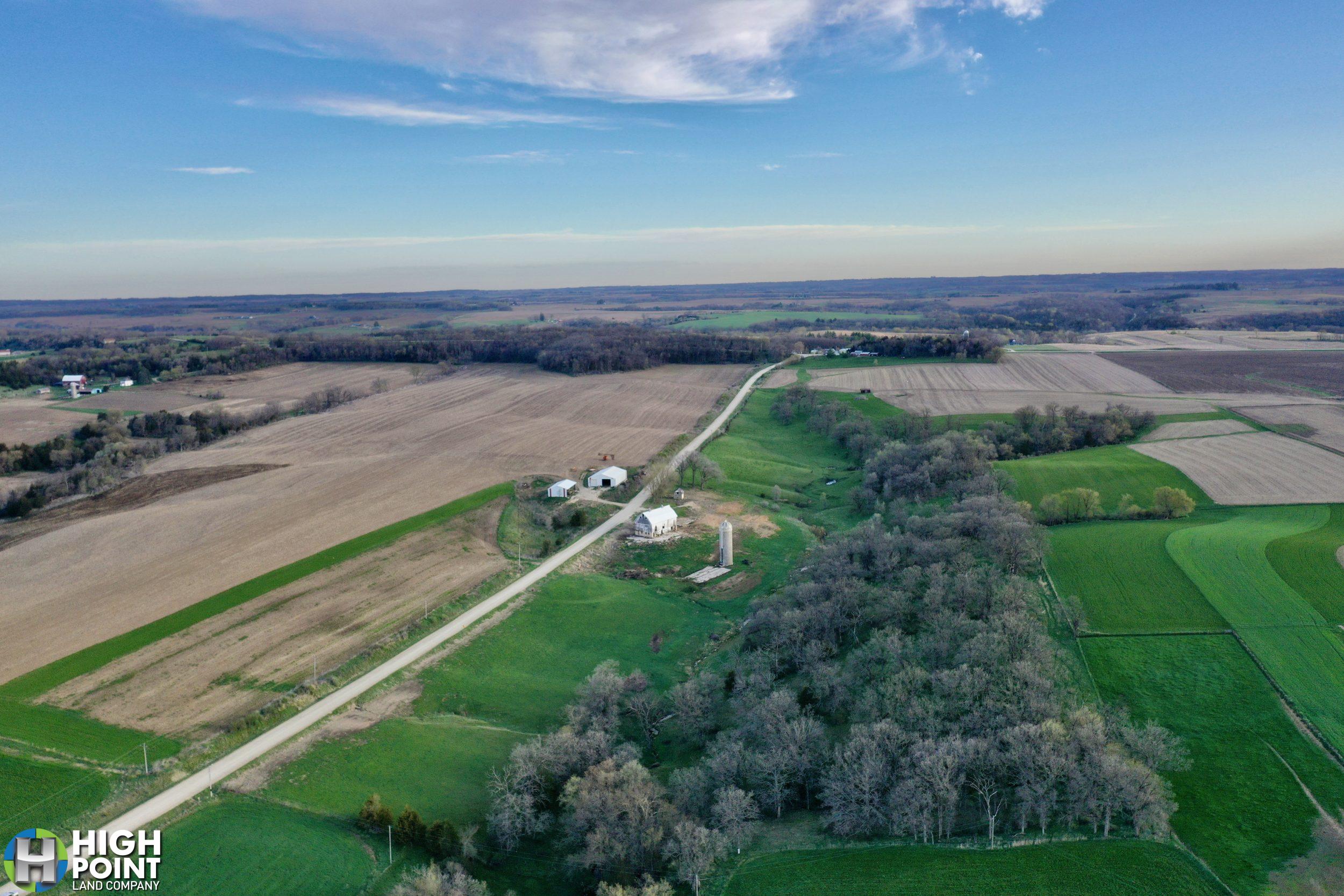
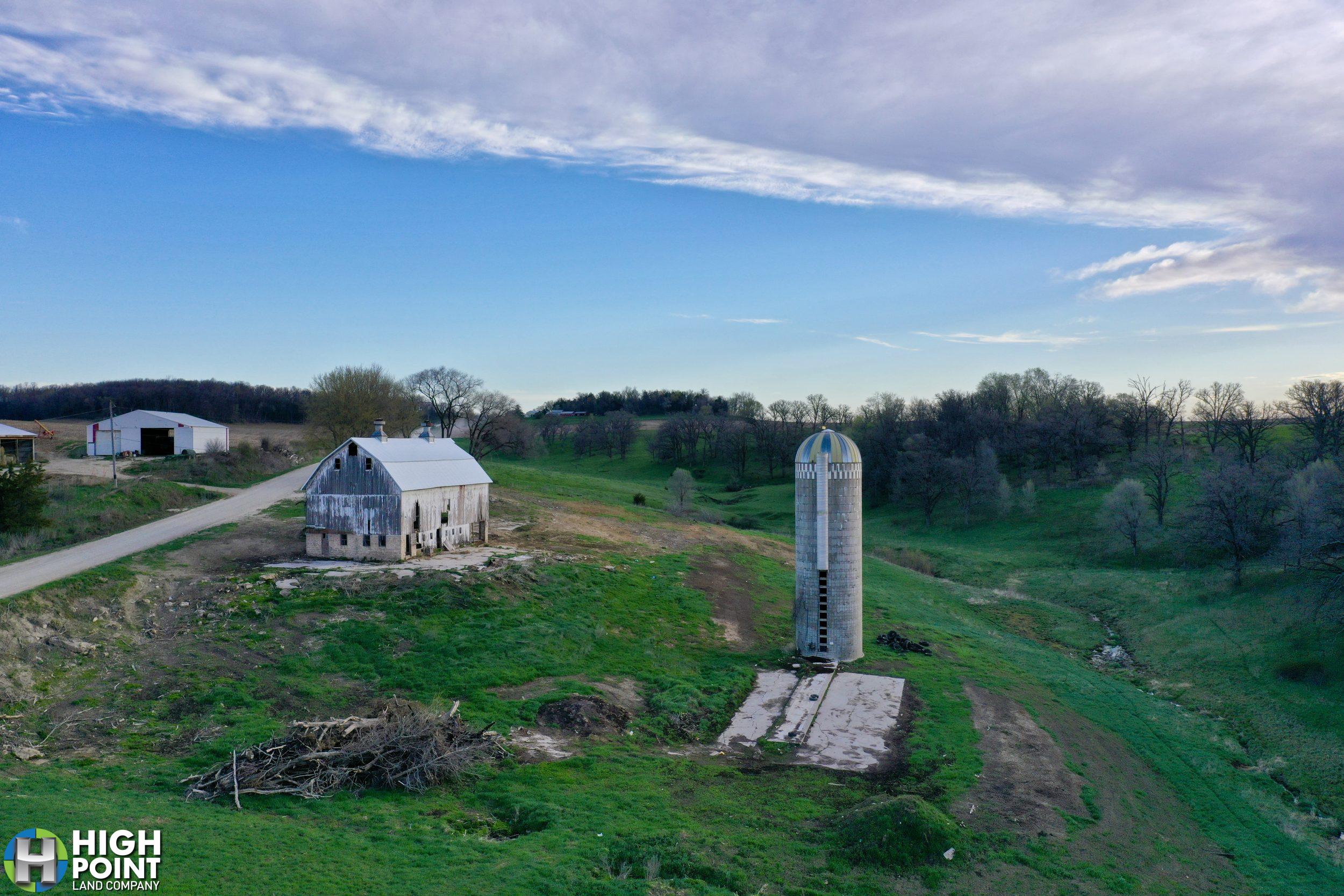
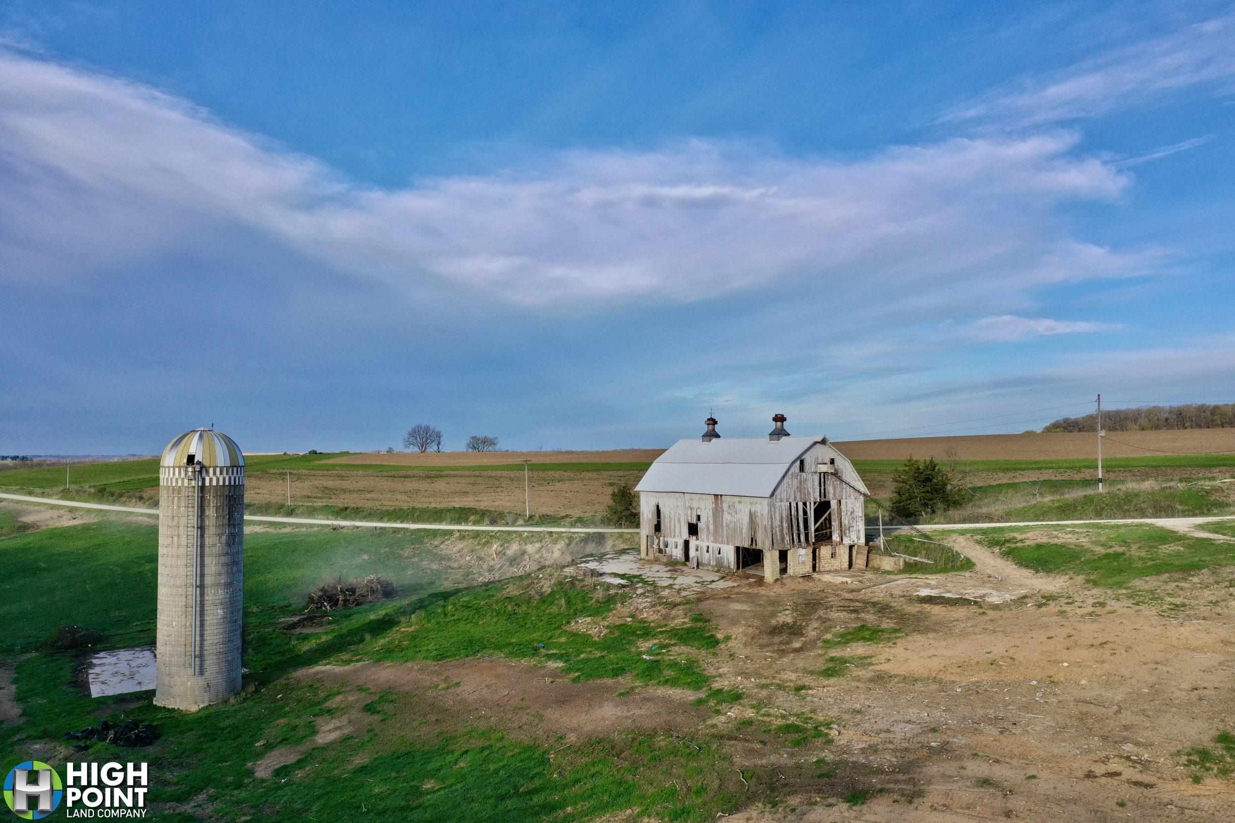
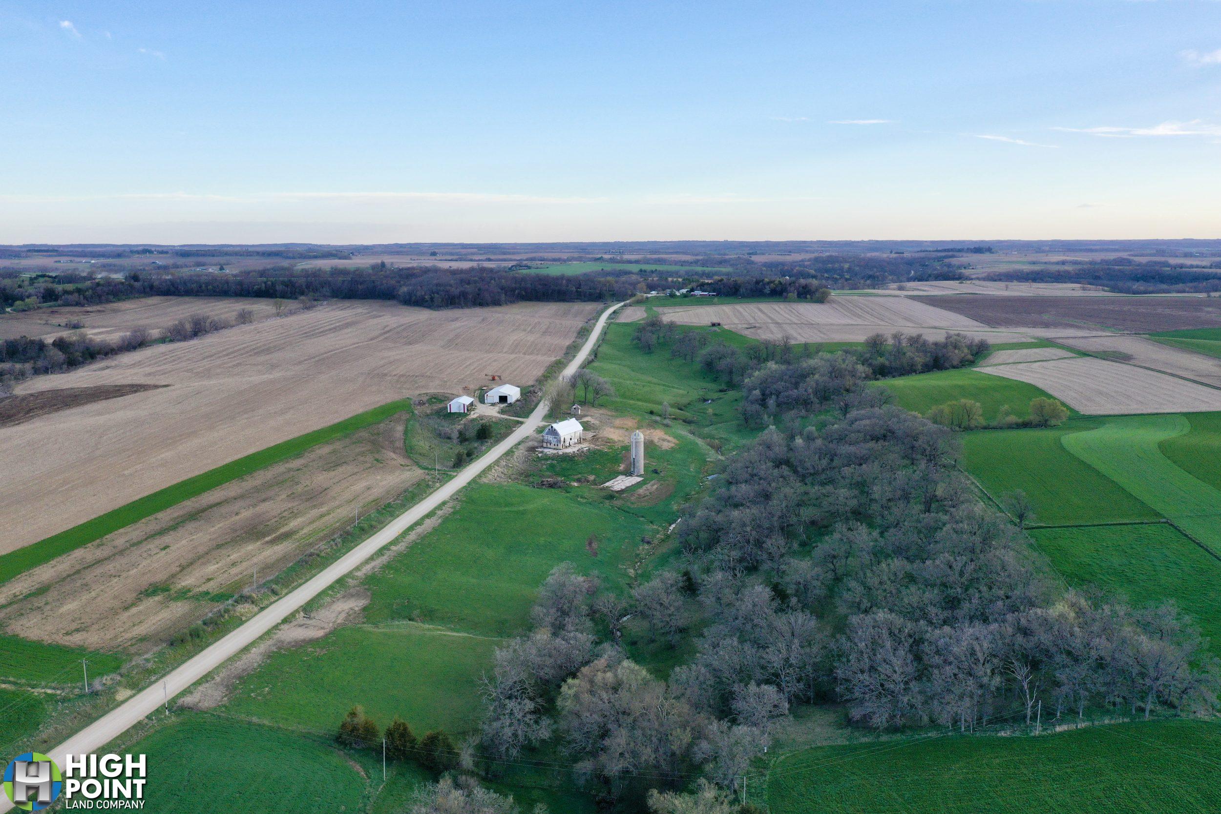
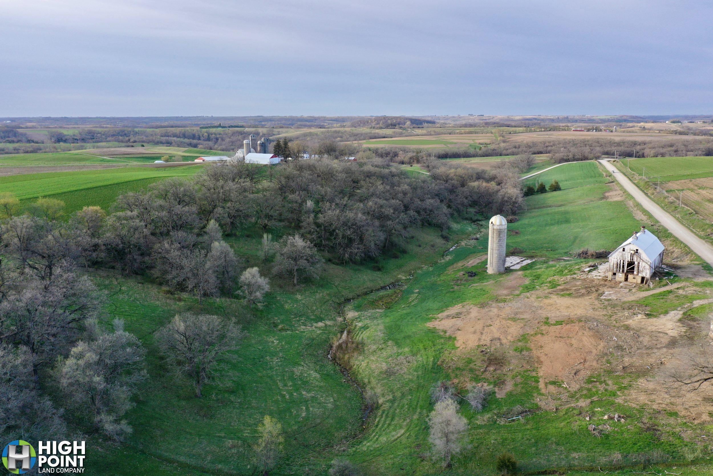
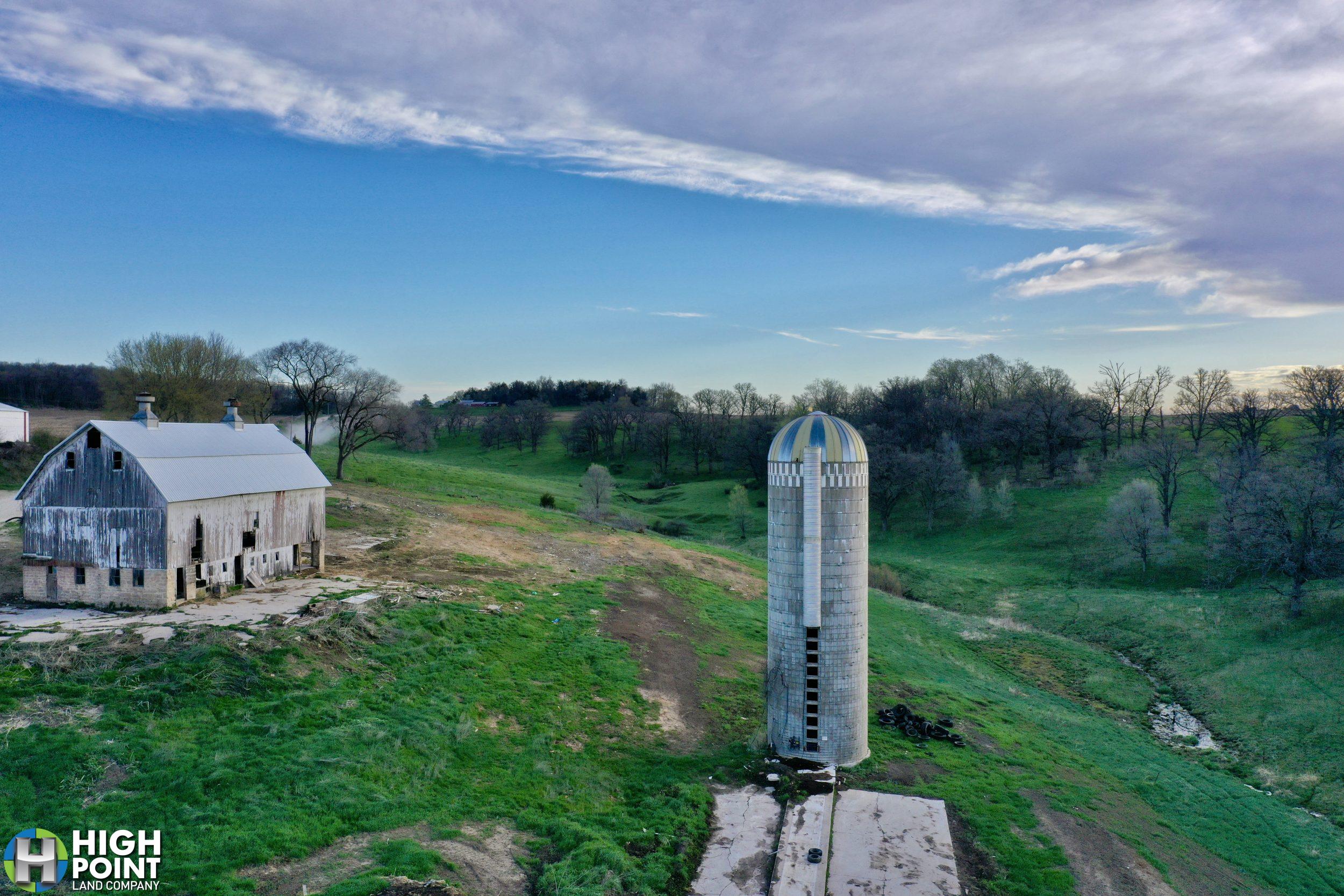
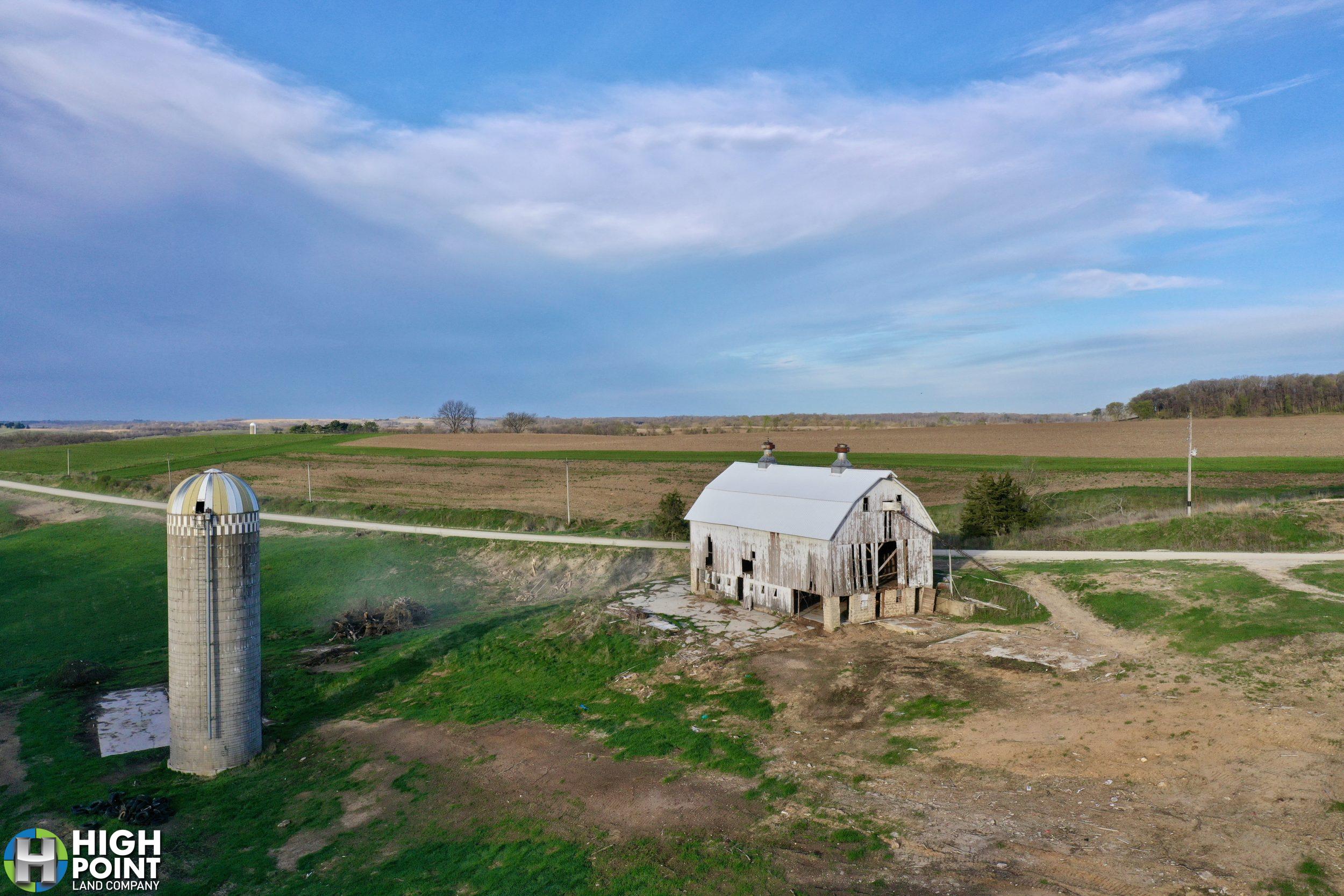
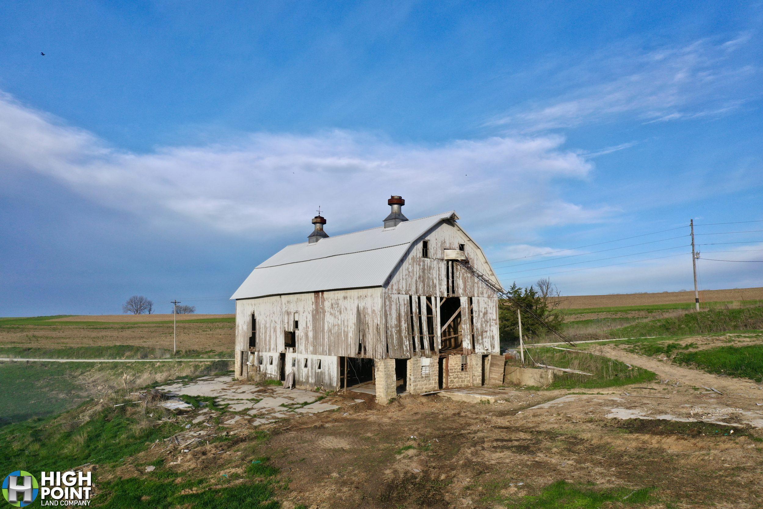
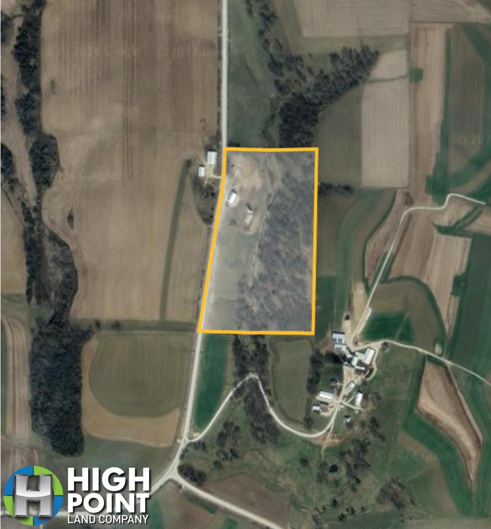
High Point Land Company is honored to present an opportunity to purchase a farmstead in Winneshiek County; located just a stone’s throw North of Decorah, IA. These smaller pasture farms are extremely hard to come by, and a property with buildable potential in this area can be extremely rare.
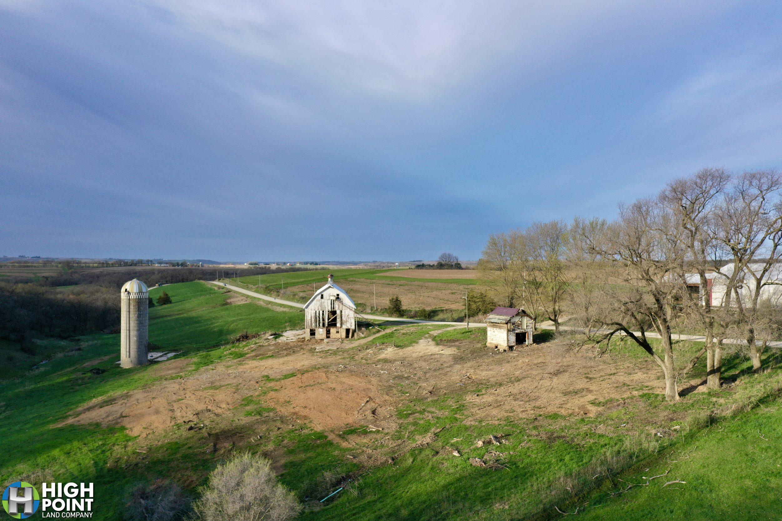
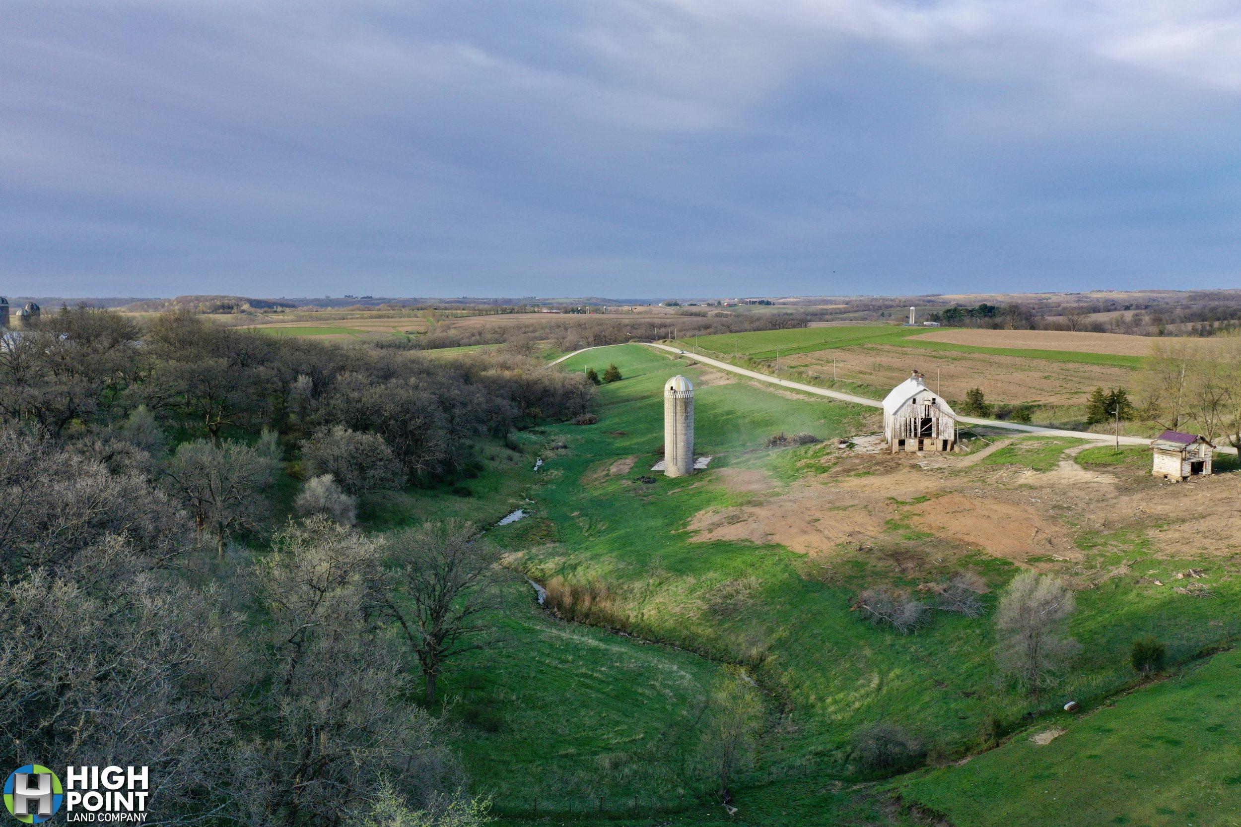
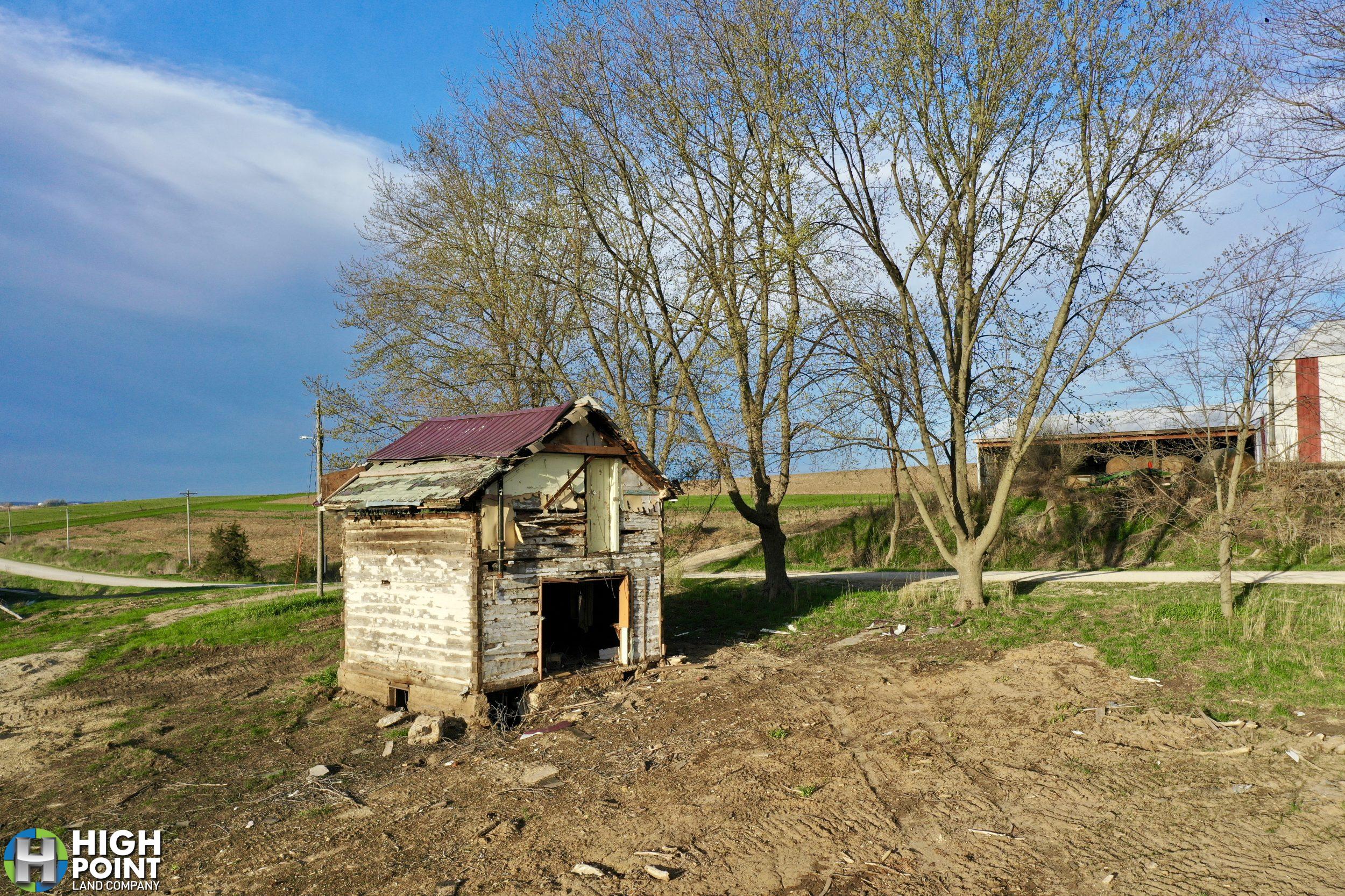
With an unmatched location to take in the sunrise, this hard to come by buildable site is exactly what many people have been looking for. It is the perfect opportunity to combine the old and the new, and is bursting at the seams with history. The log cabin located on the property was found inside the house that the owners had taken down, and surely has stories to tell.
Overlooking the pasture, the owners have been in the process of cleaning up the original building site providing a beautiful setting for a new home. The farmyard is complete with a 36×70 barn with a newer steel roof and solid bones; making it the perfect candidate to refurbish. With electricity available, and a well on site, the potential in this property is unmatched.
The old oak pasture provides a remarkable setting, and provides a great opportunity for your own livestock or to rent out and generate additional income to support the investment.
*More to come on this excellent opportunity!
Property Address
3092 River Road, Decorah, IA 52101
Property Features
– 21.41+/- Net Taxable Acres
– Buildable site
– Well on Site
– Electricity available
– Mature Oak Pasture
– Located North of Decorah, IA
Directions
From Freeport, Iowa (Just East of Decorah), drive North on River Rd for approximately 8.5 miles and the farm will be on the East side of the road.
View Associated Files

Aerial Map
Topo Map
Wetlands Map