100+/- Acres Chippewa County, WI
- Photos
- Satellite
100 Acres +/-
$550,000
Wisconsin
Chippewa
#53957
Description
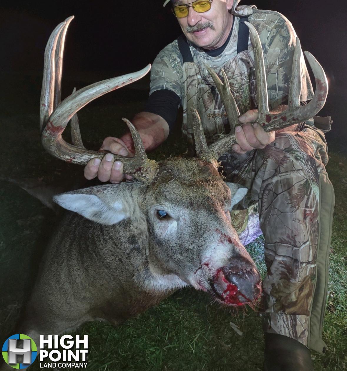
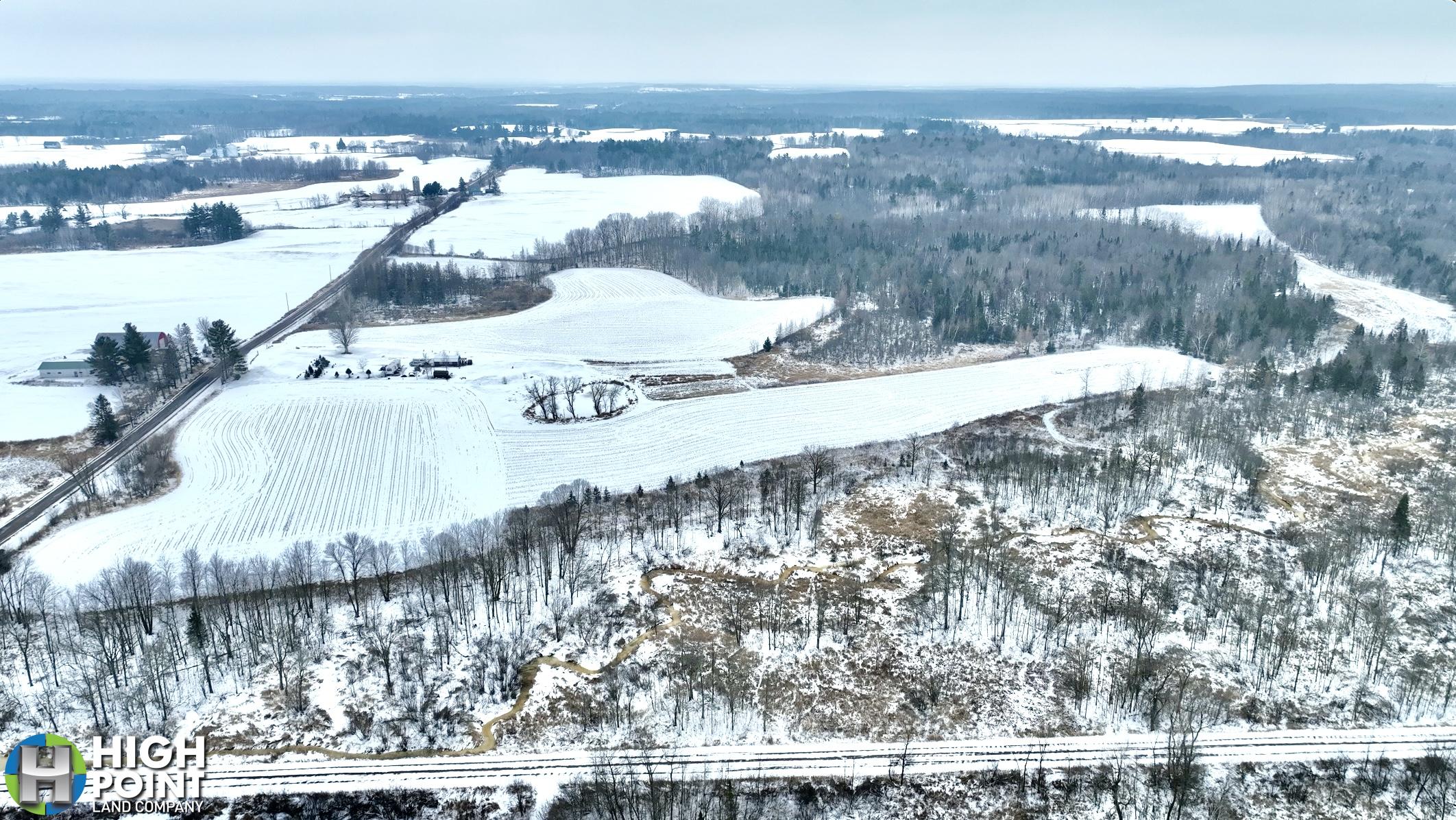
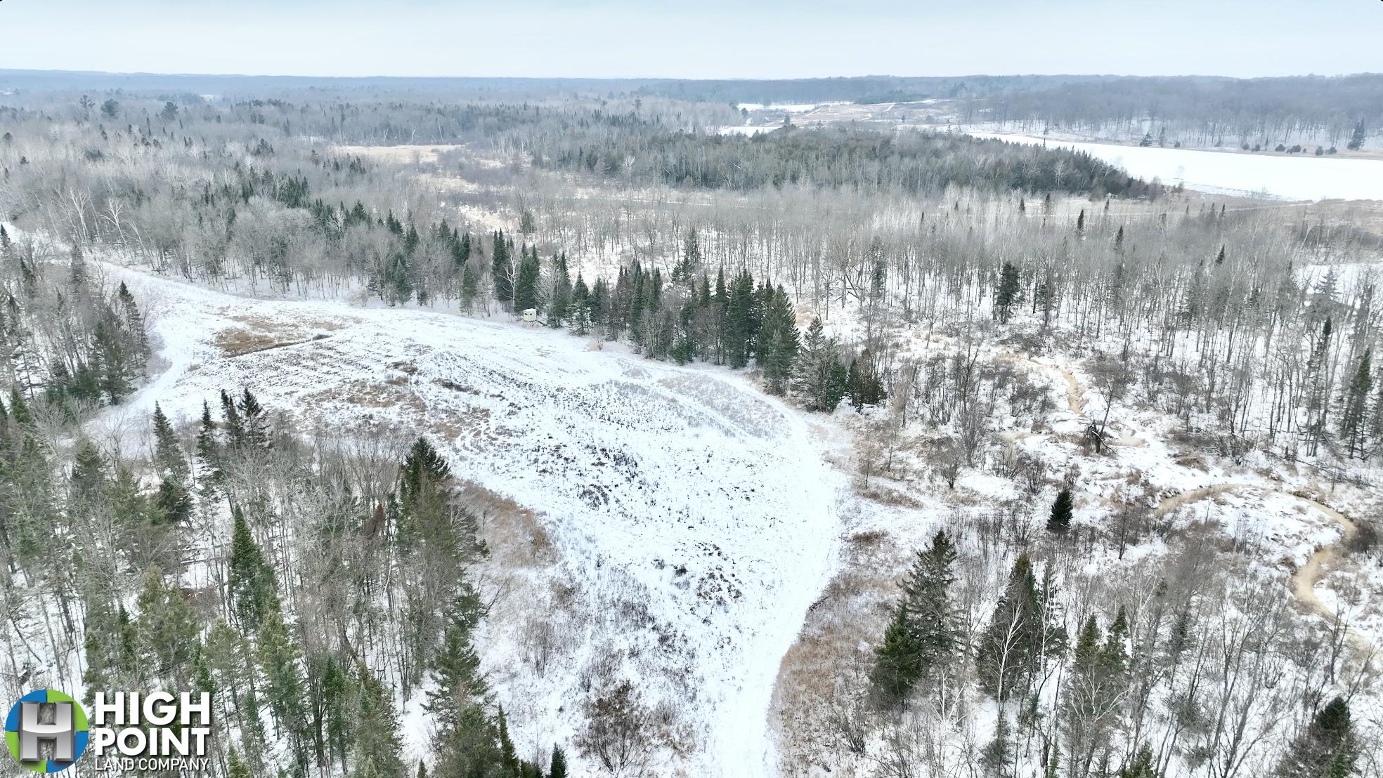
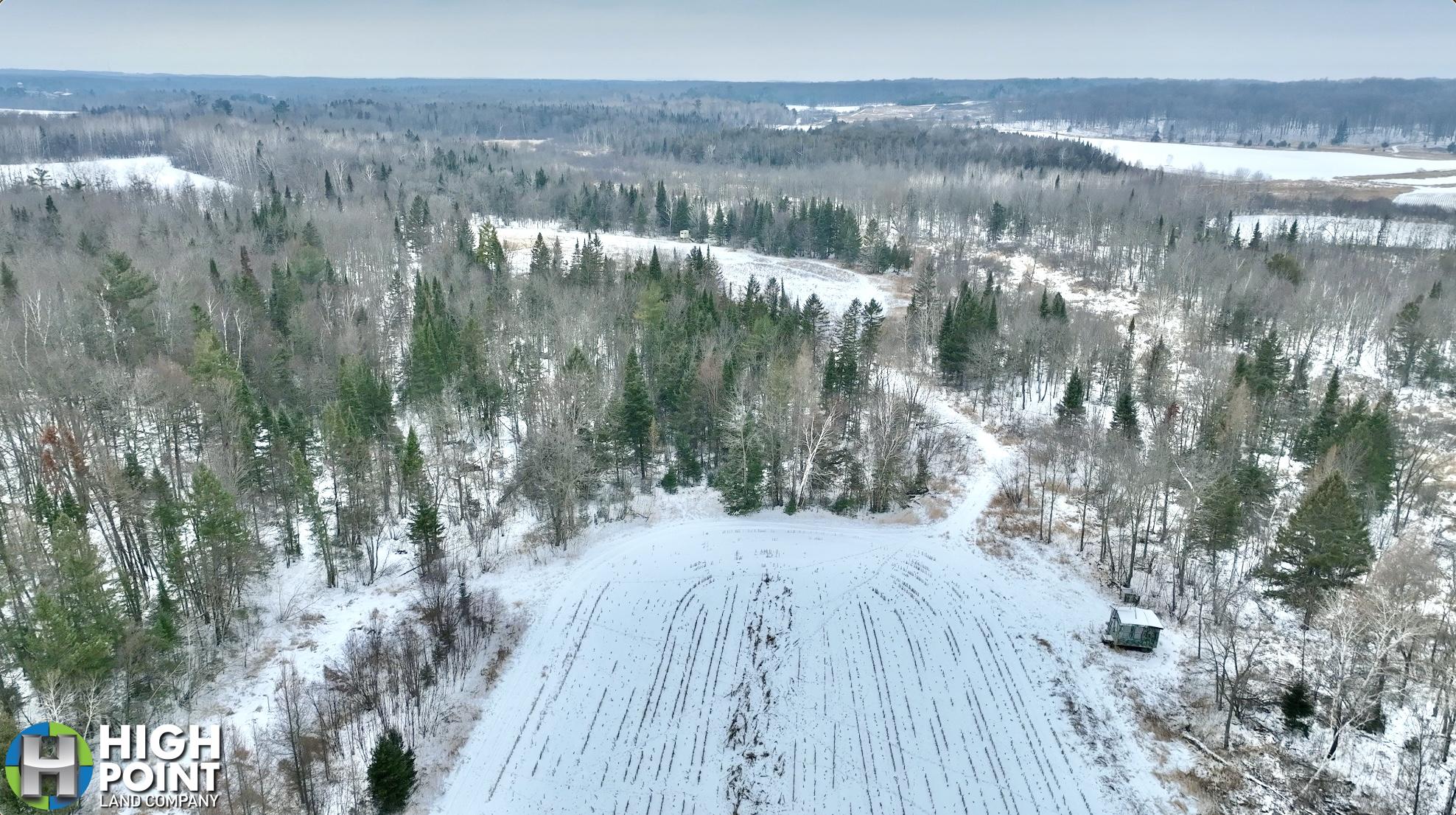
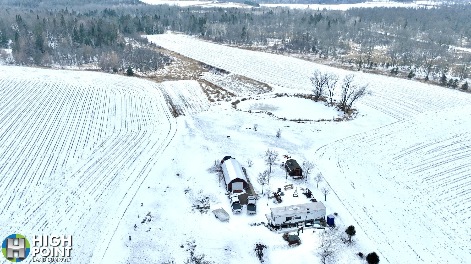
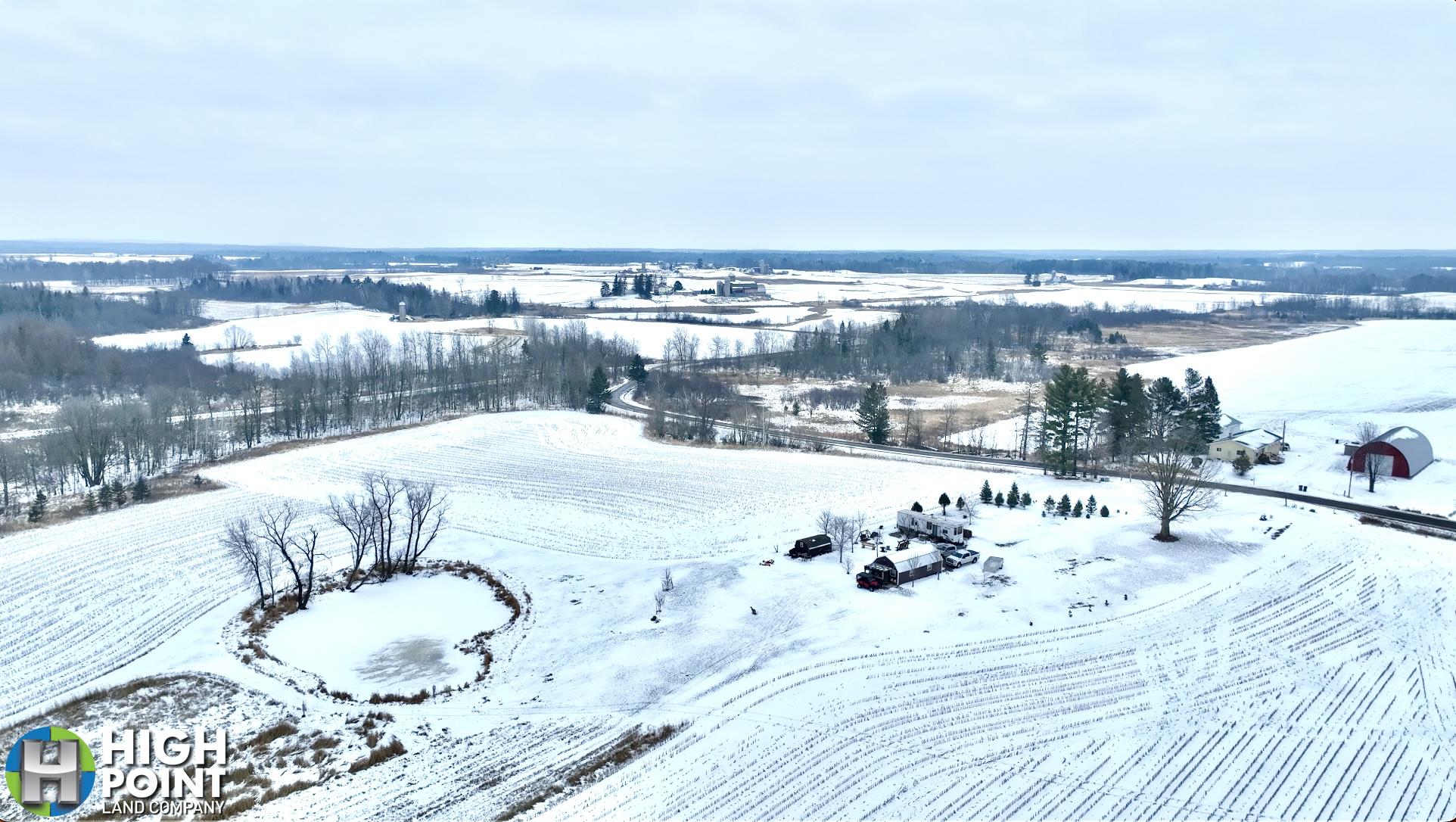
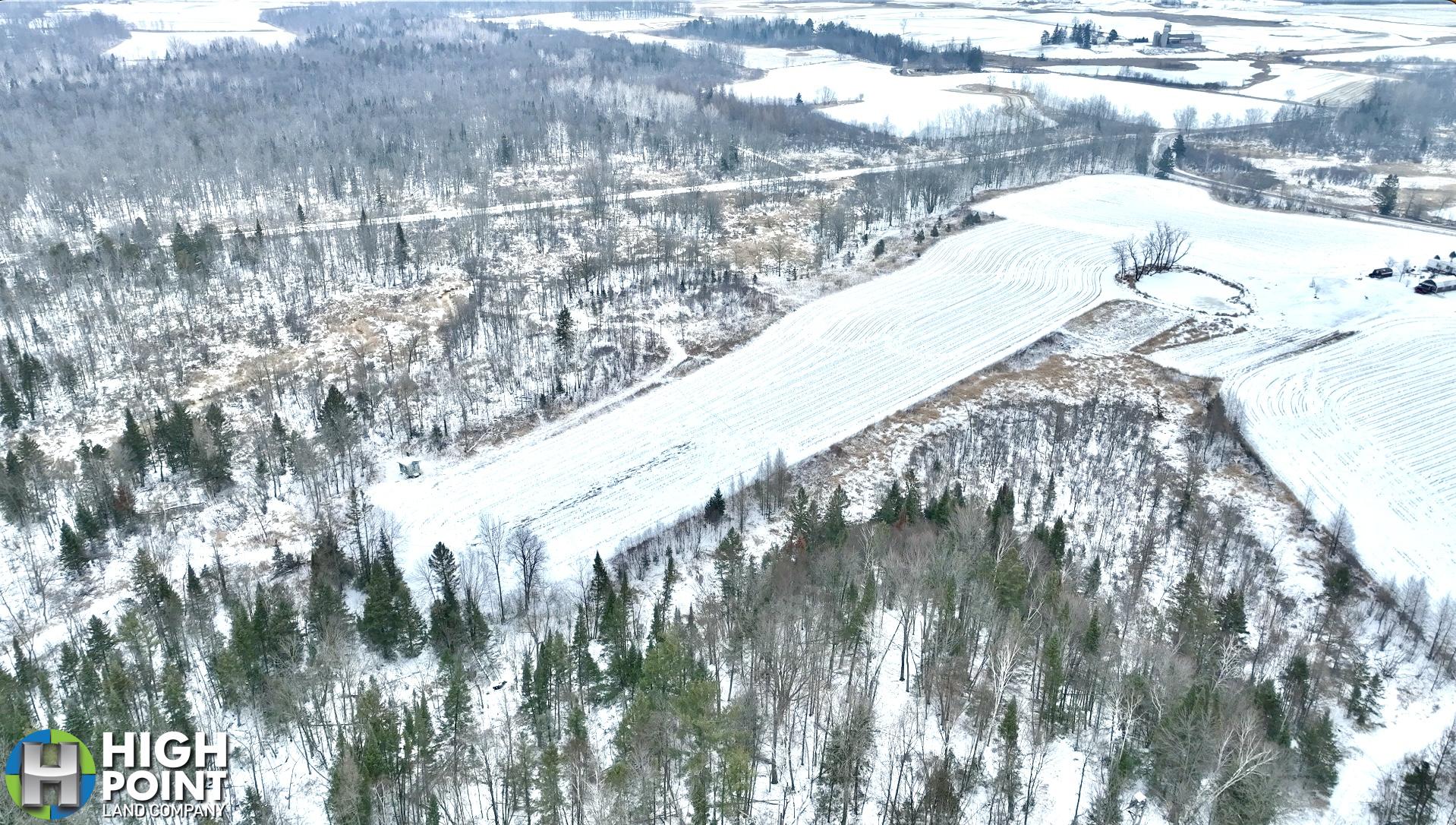
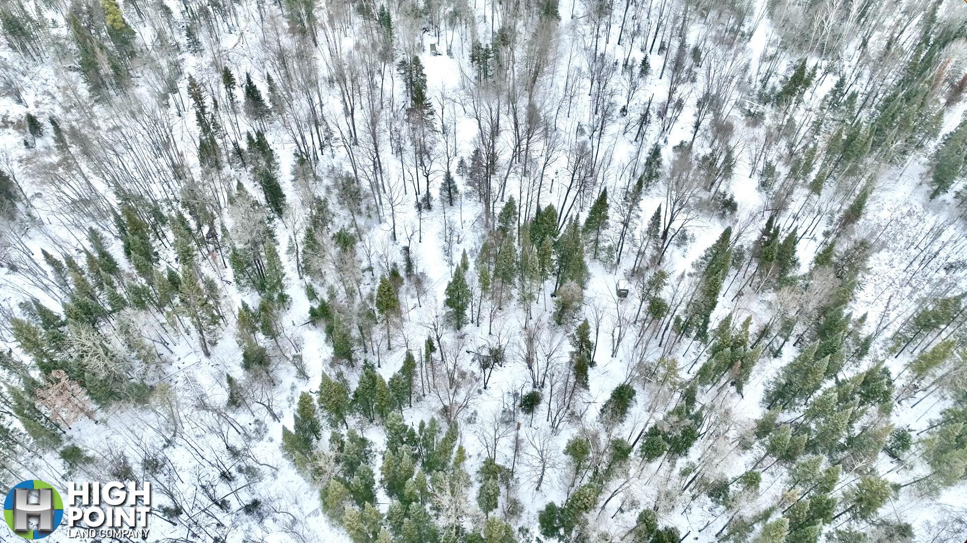
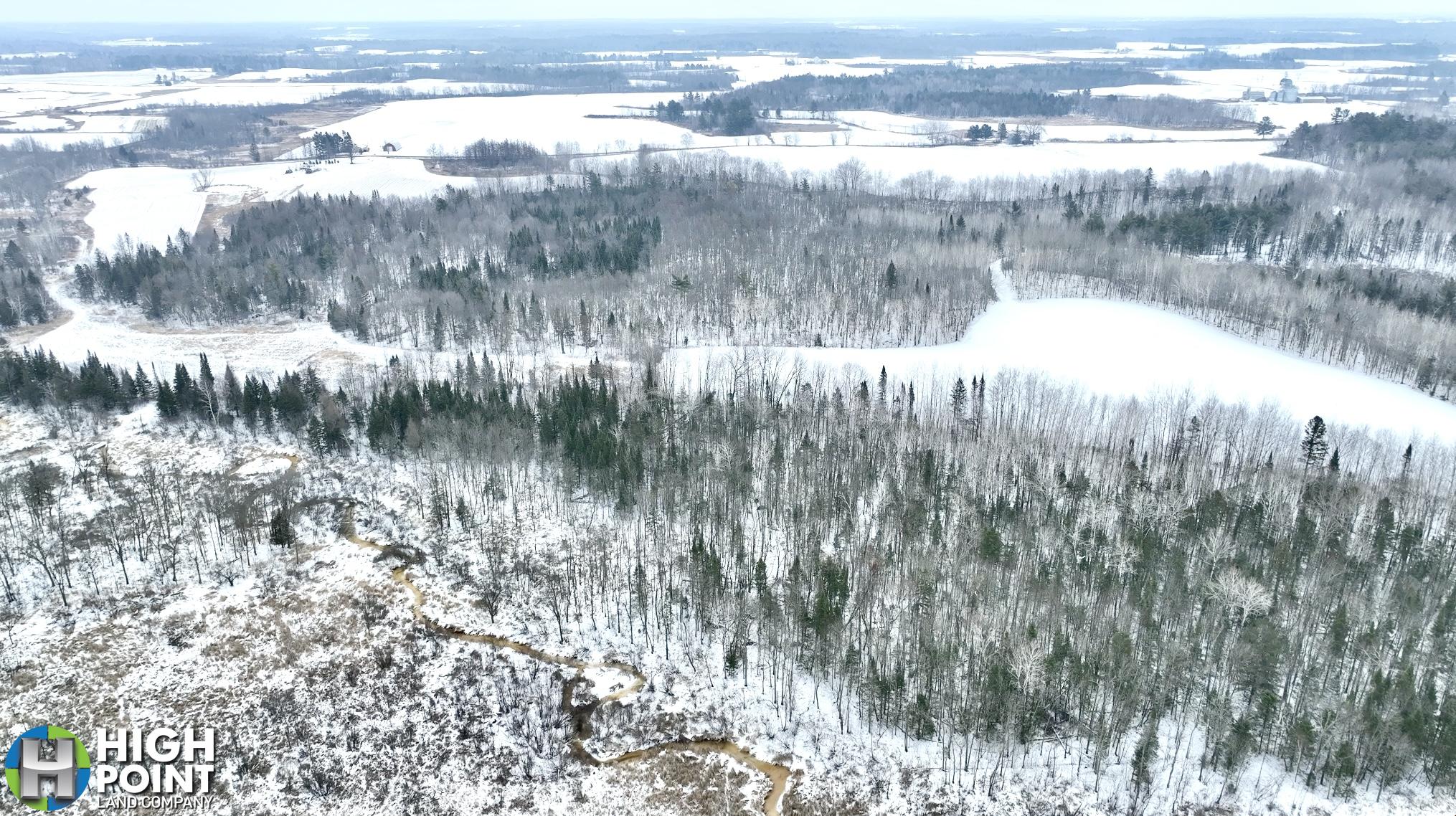
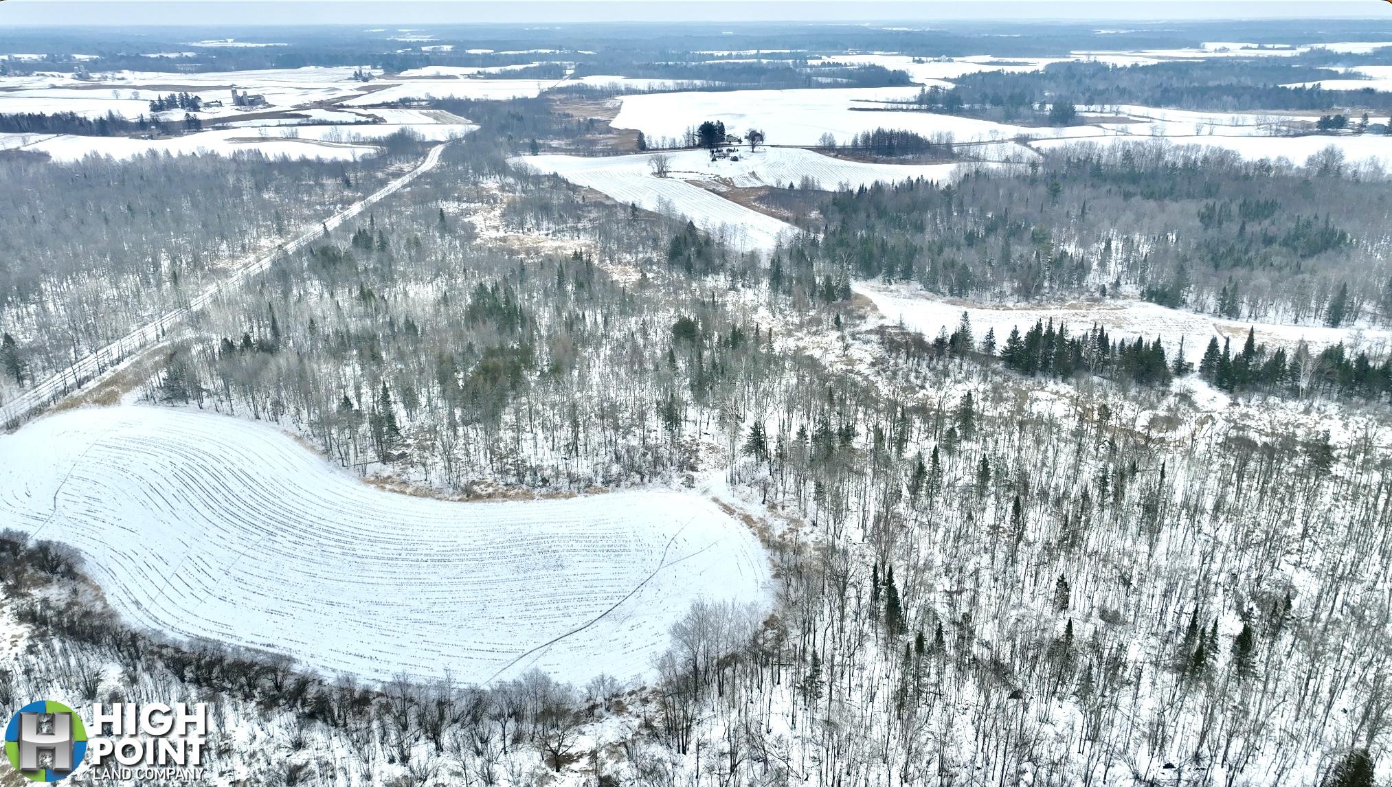
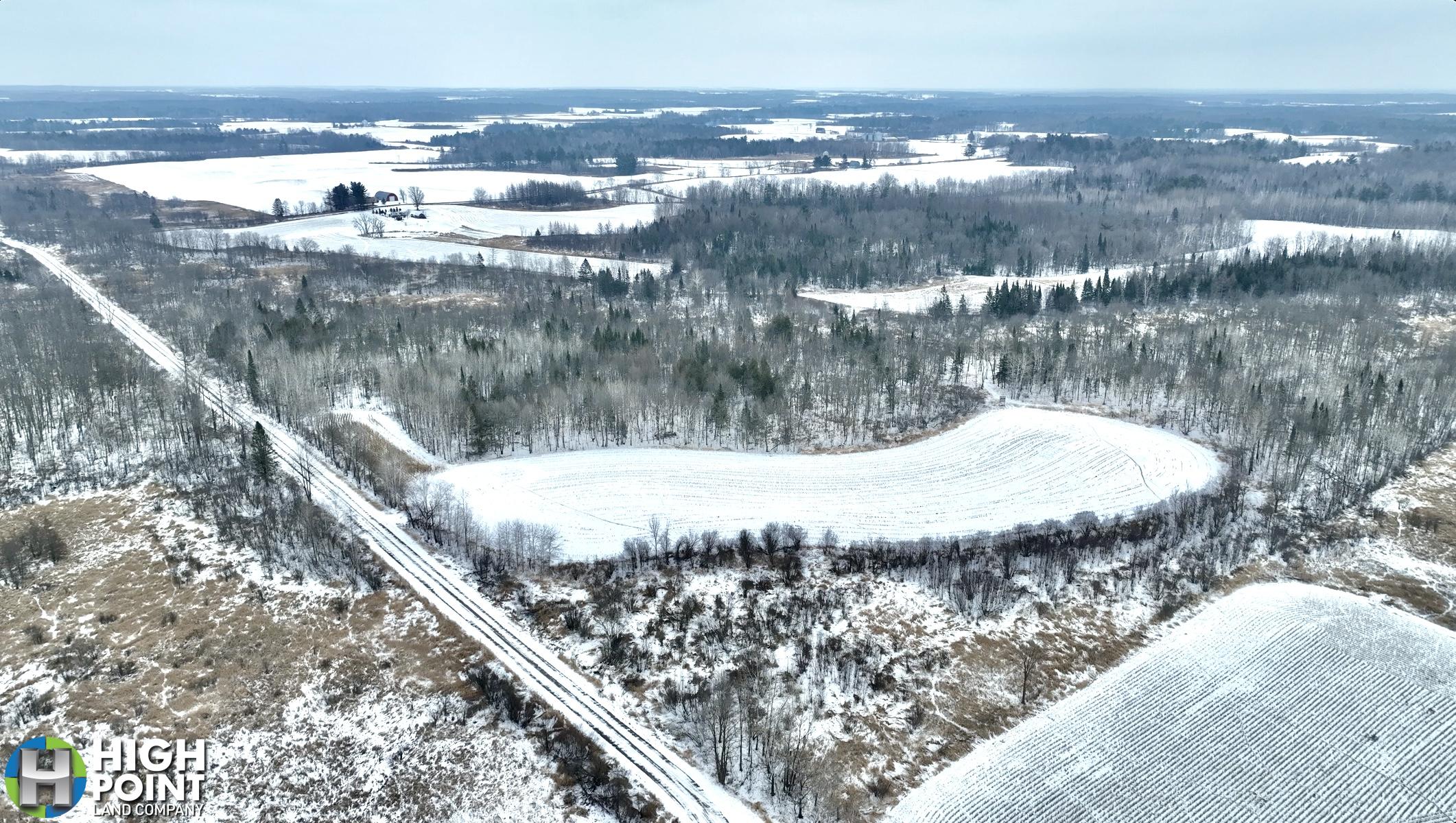
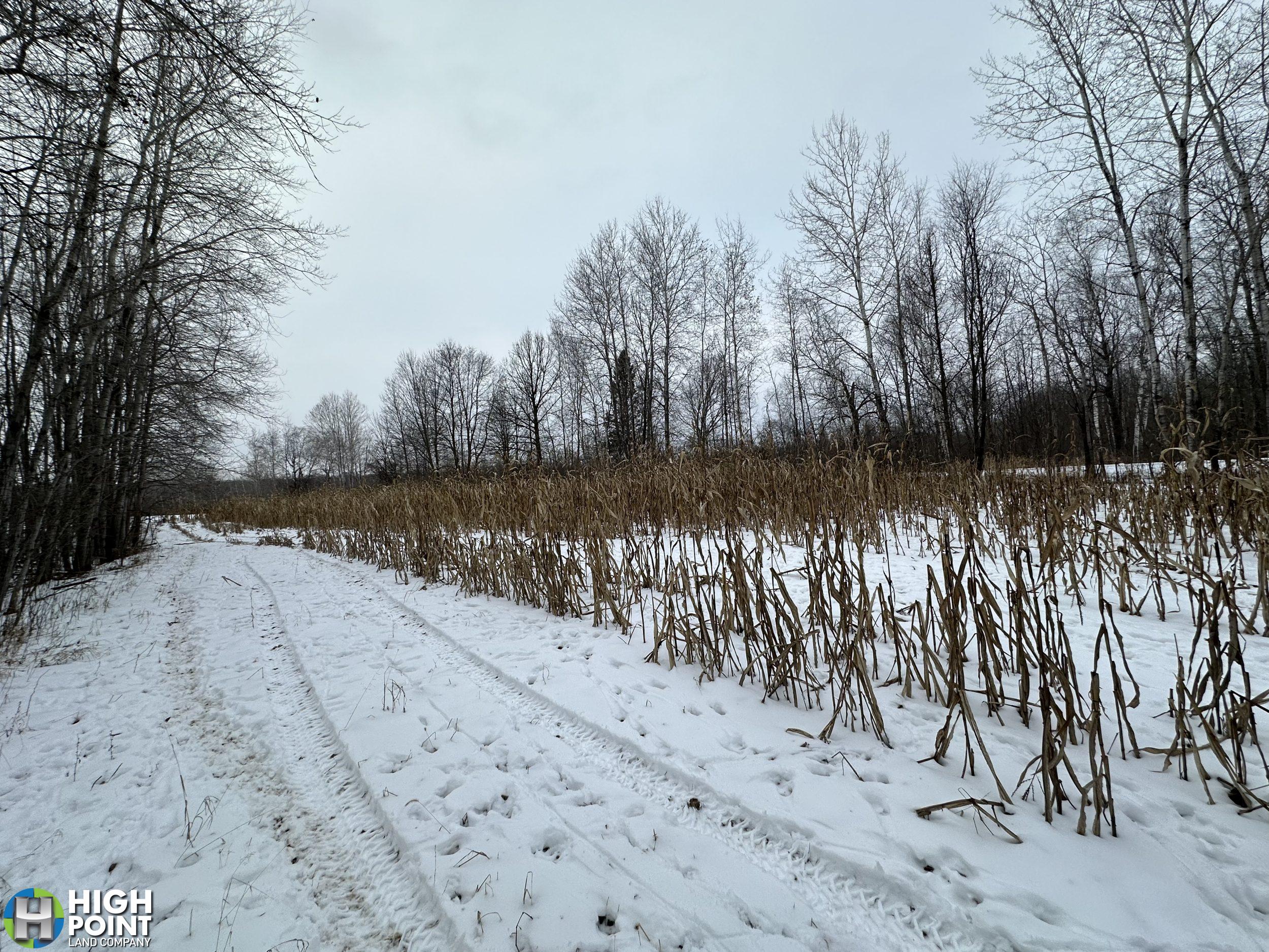
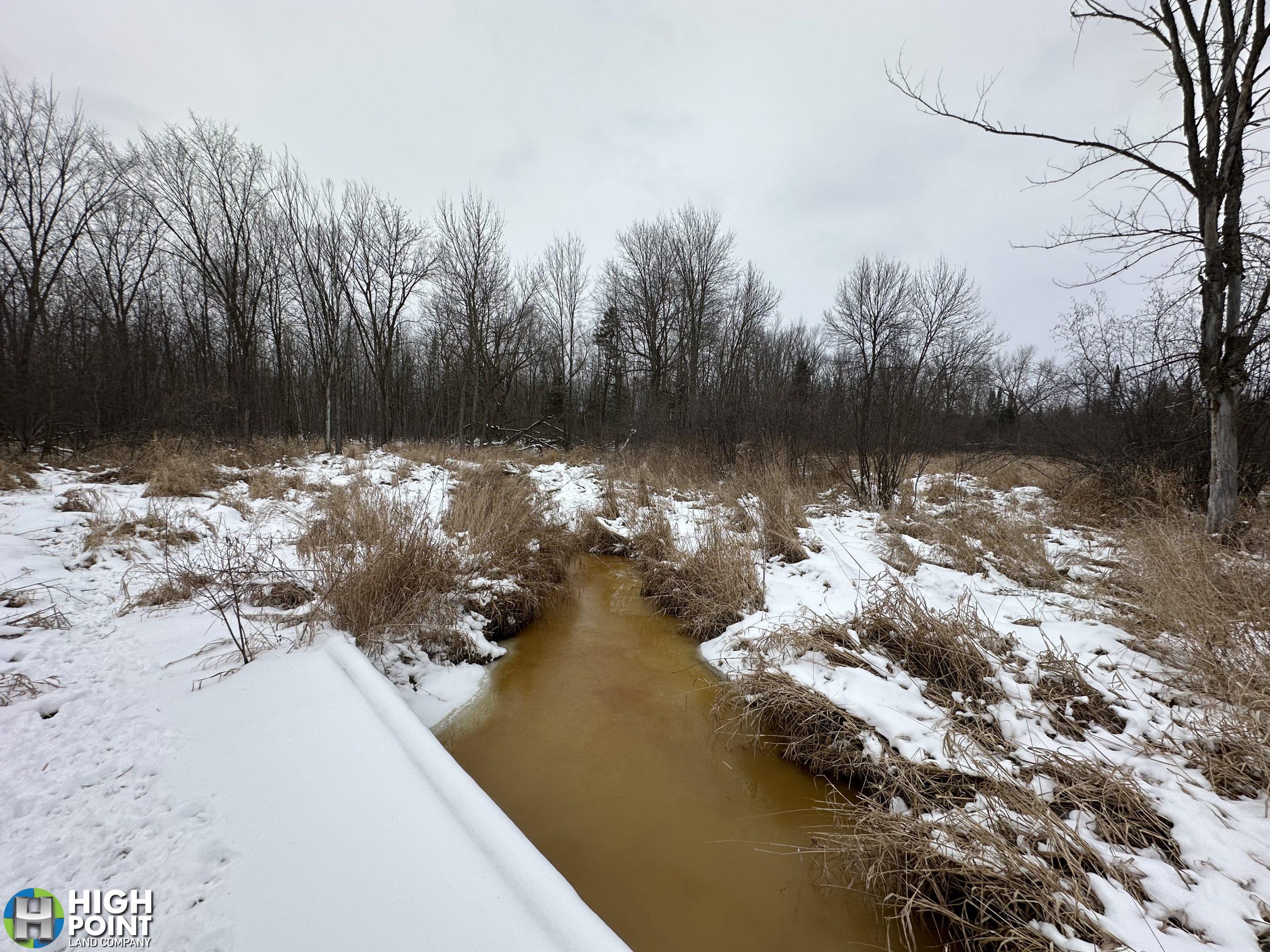
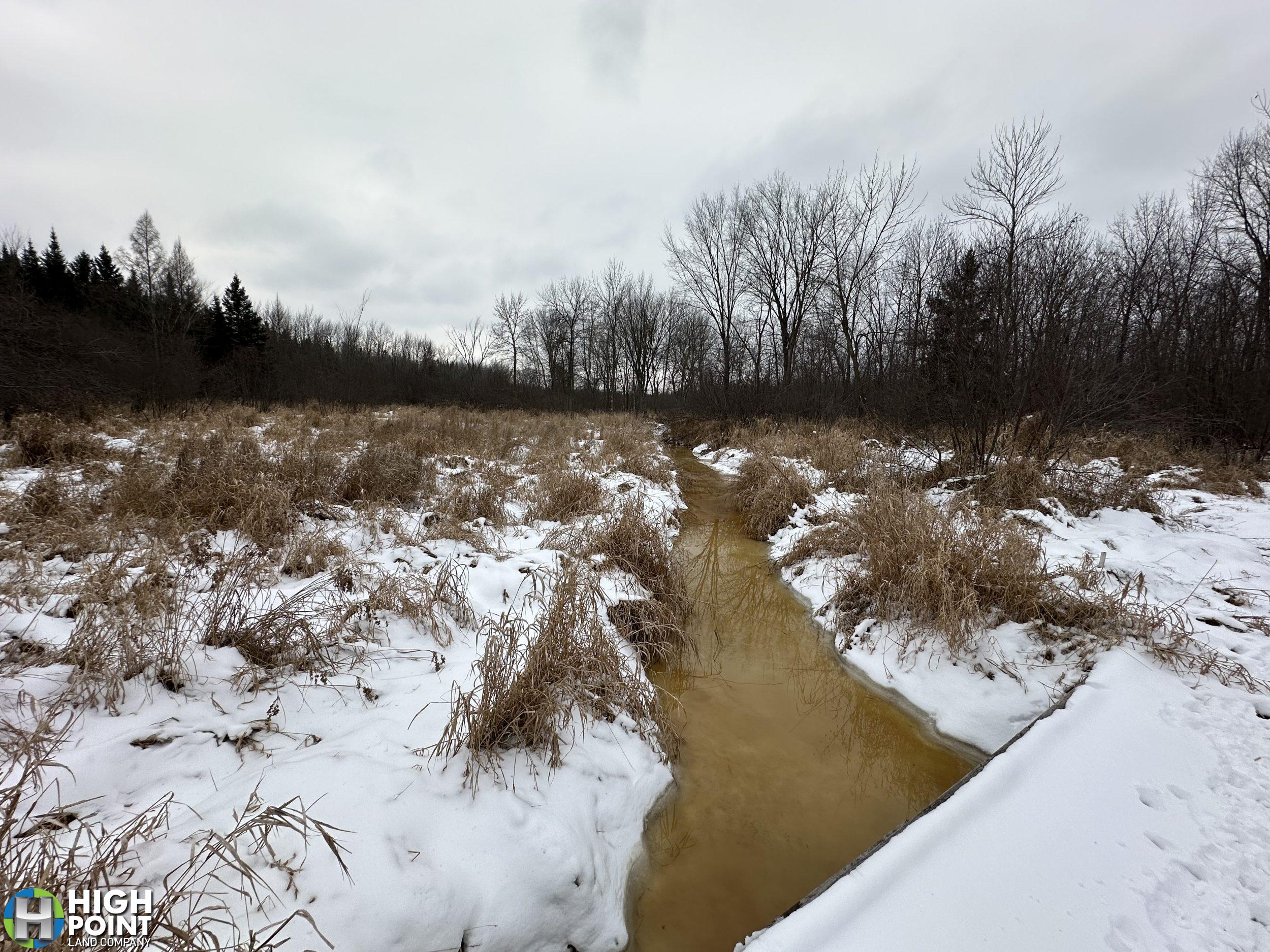
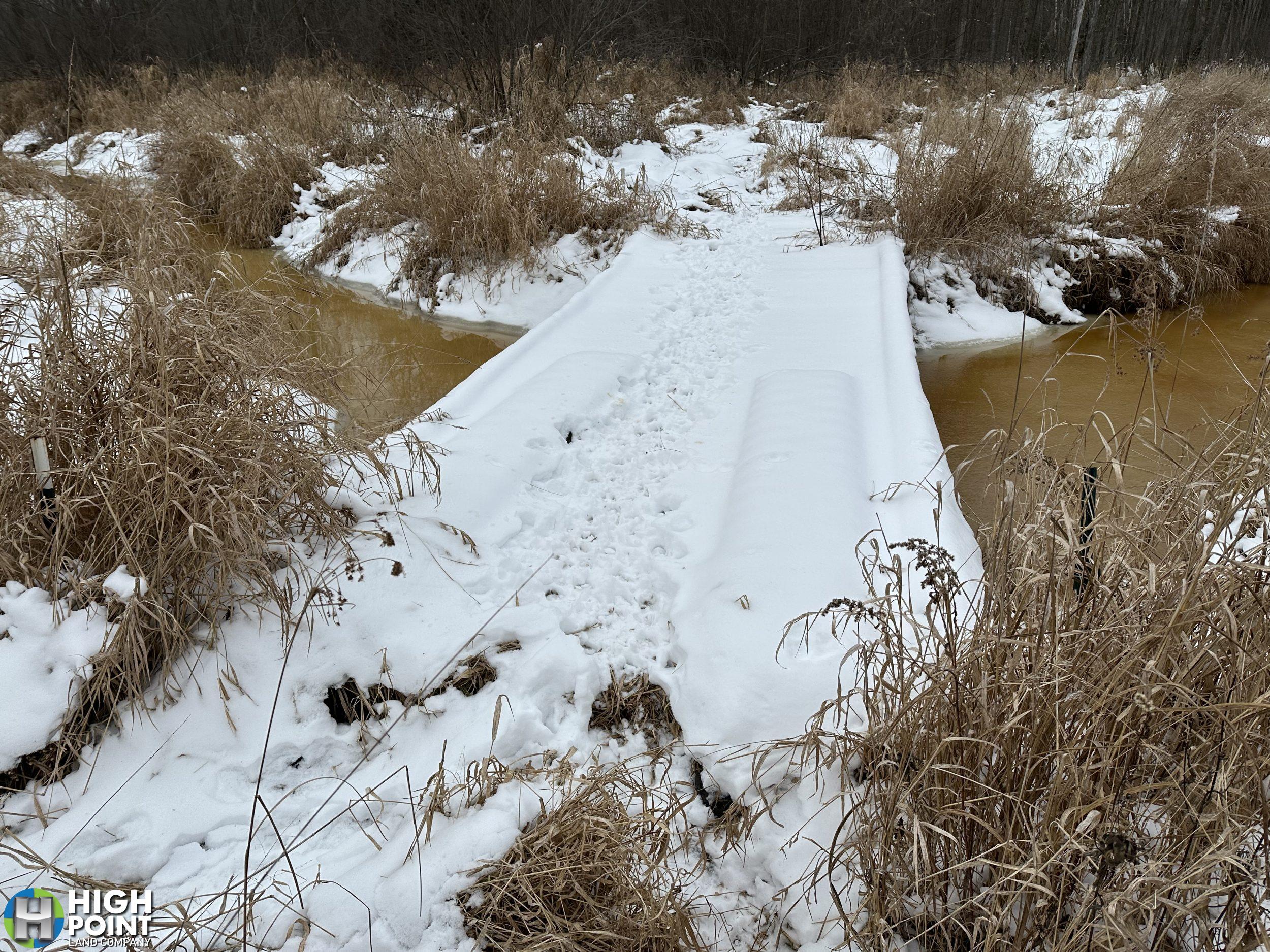
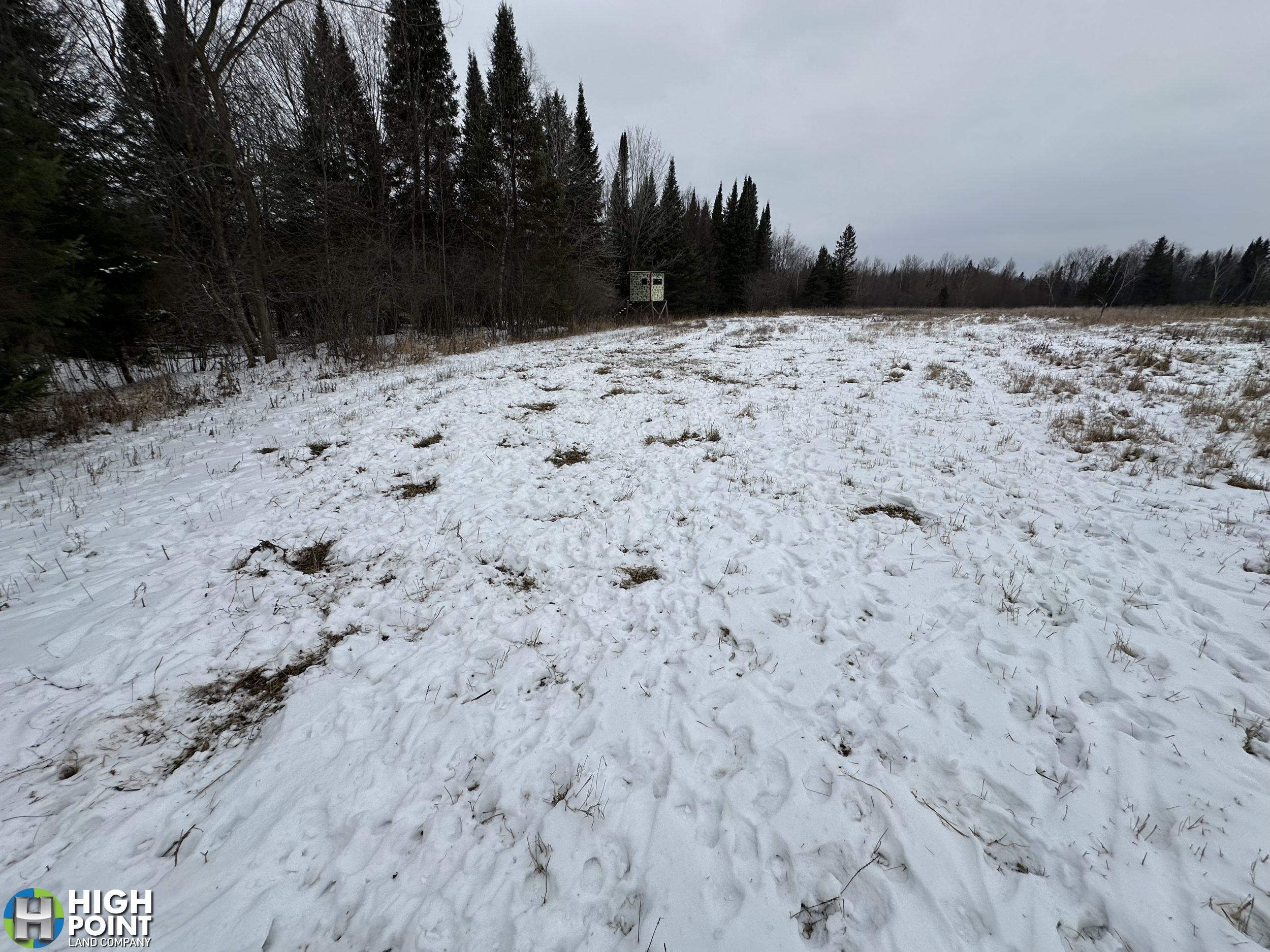
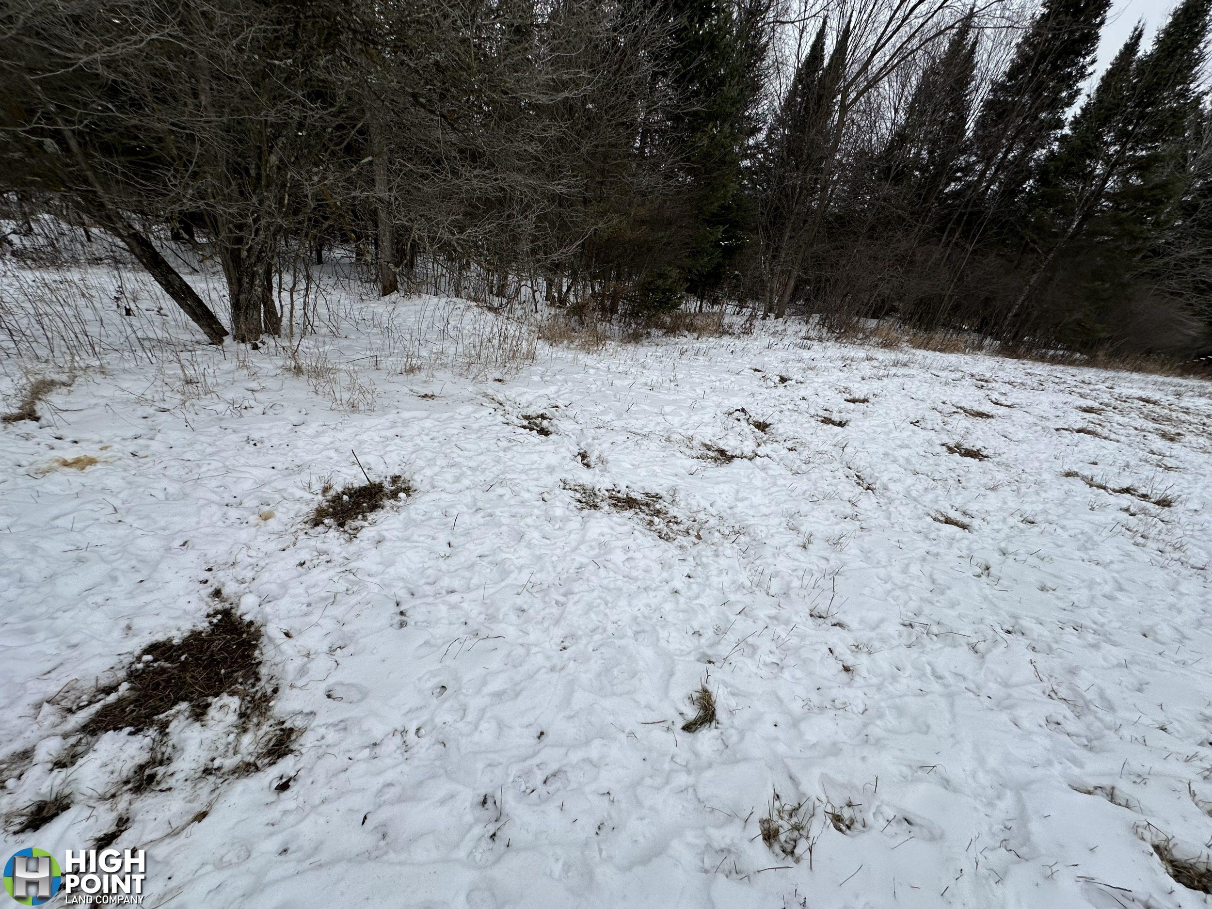
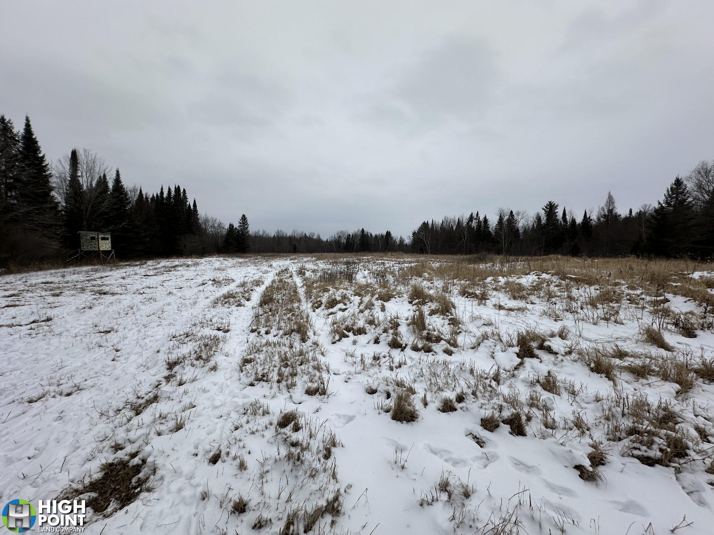
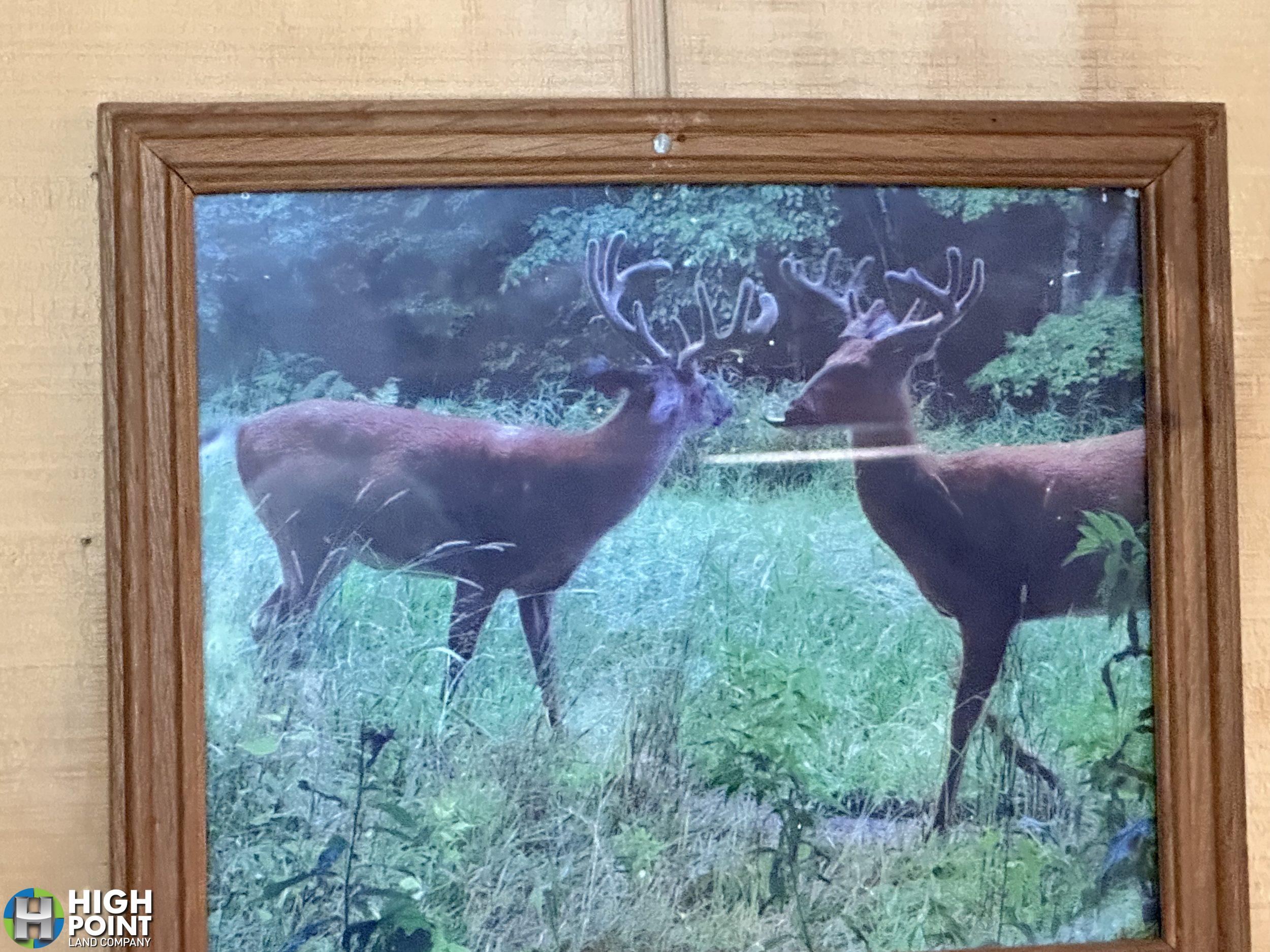
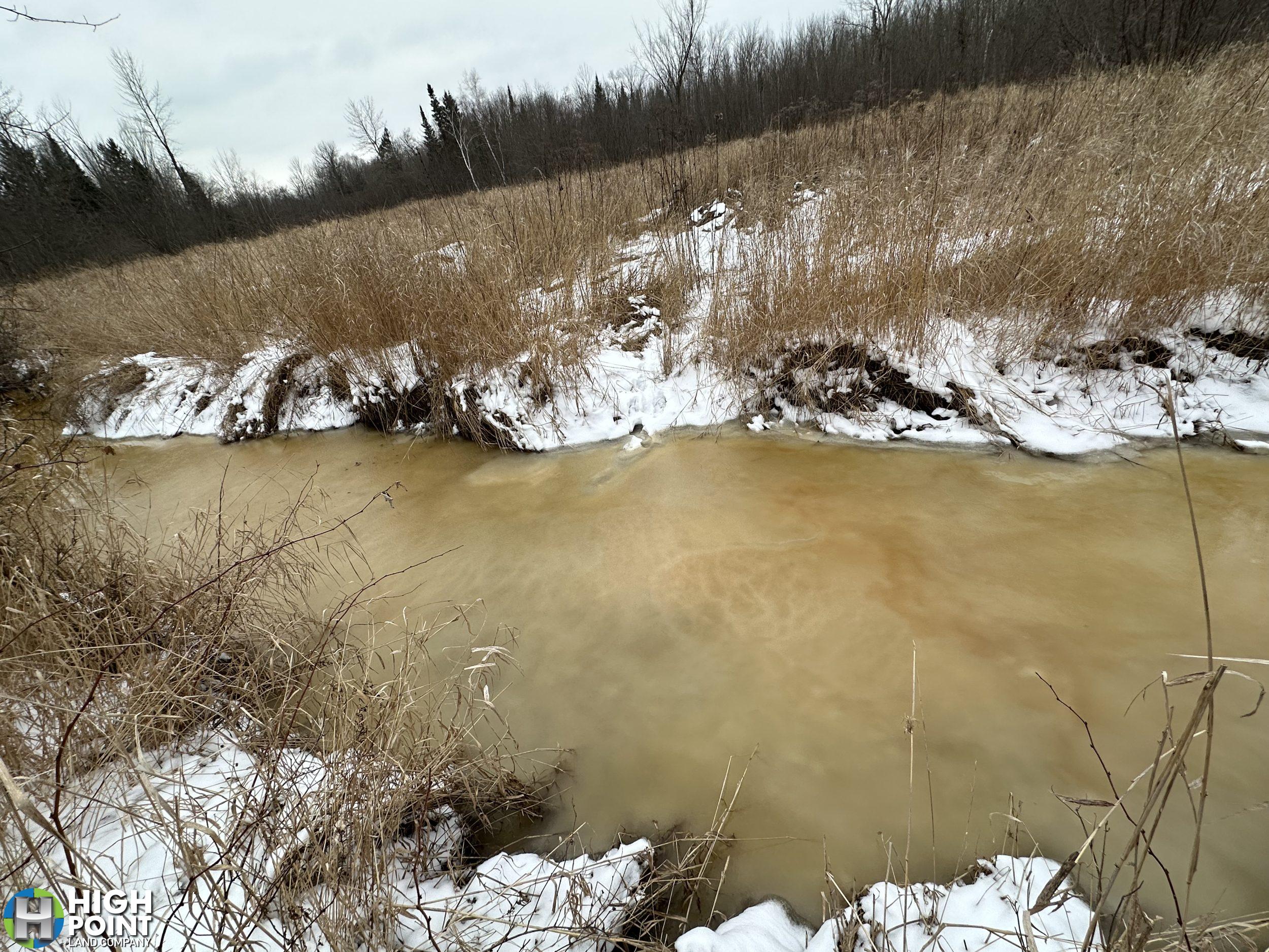
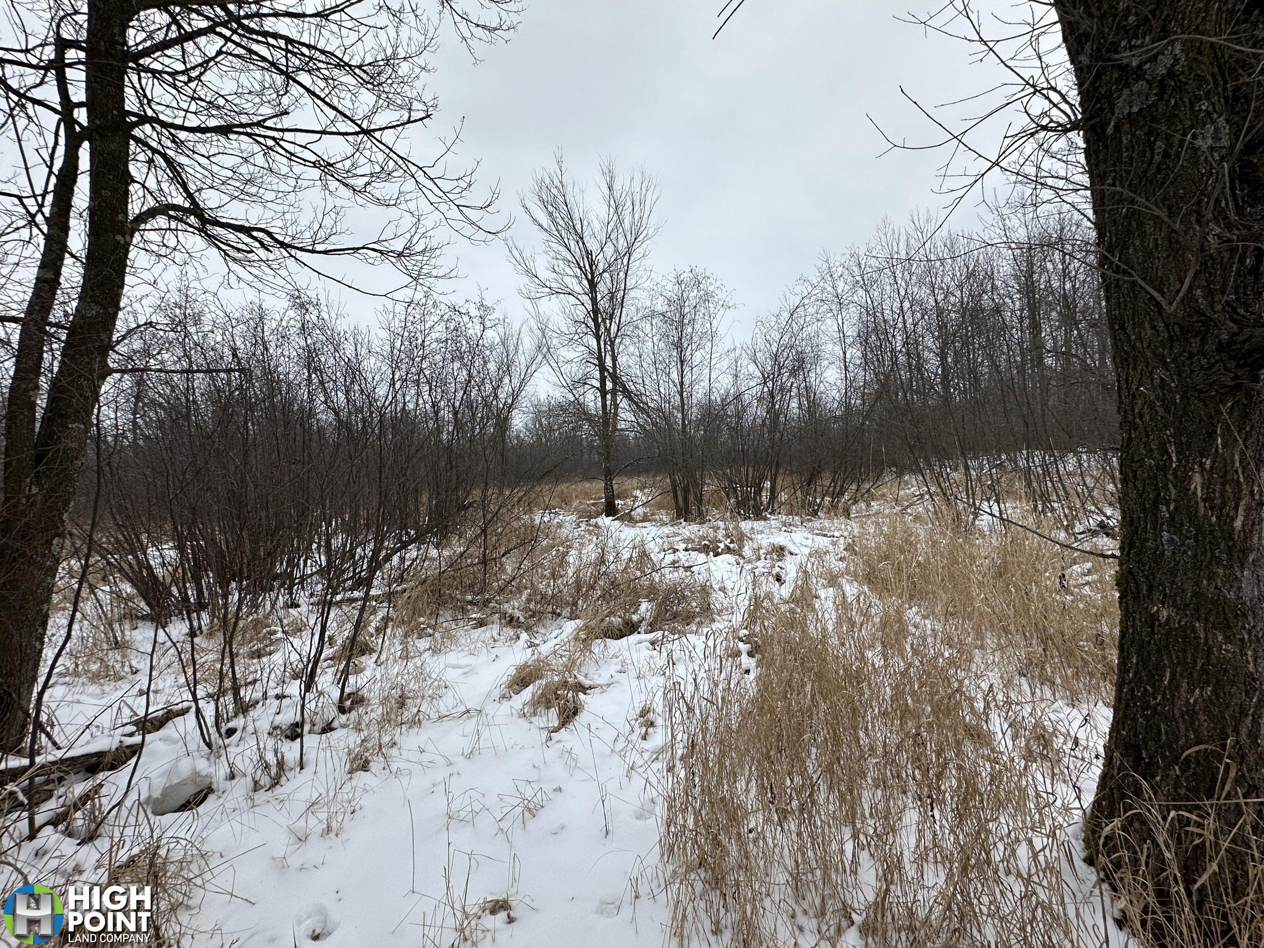
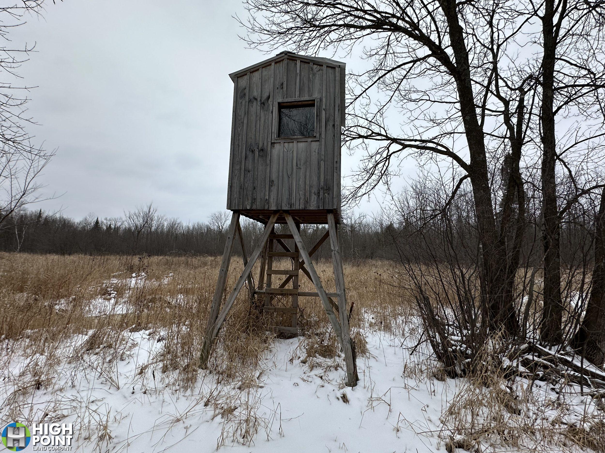
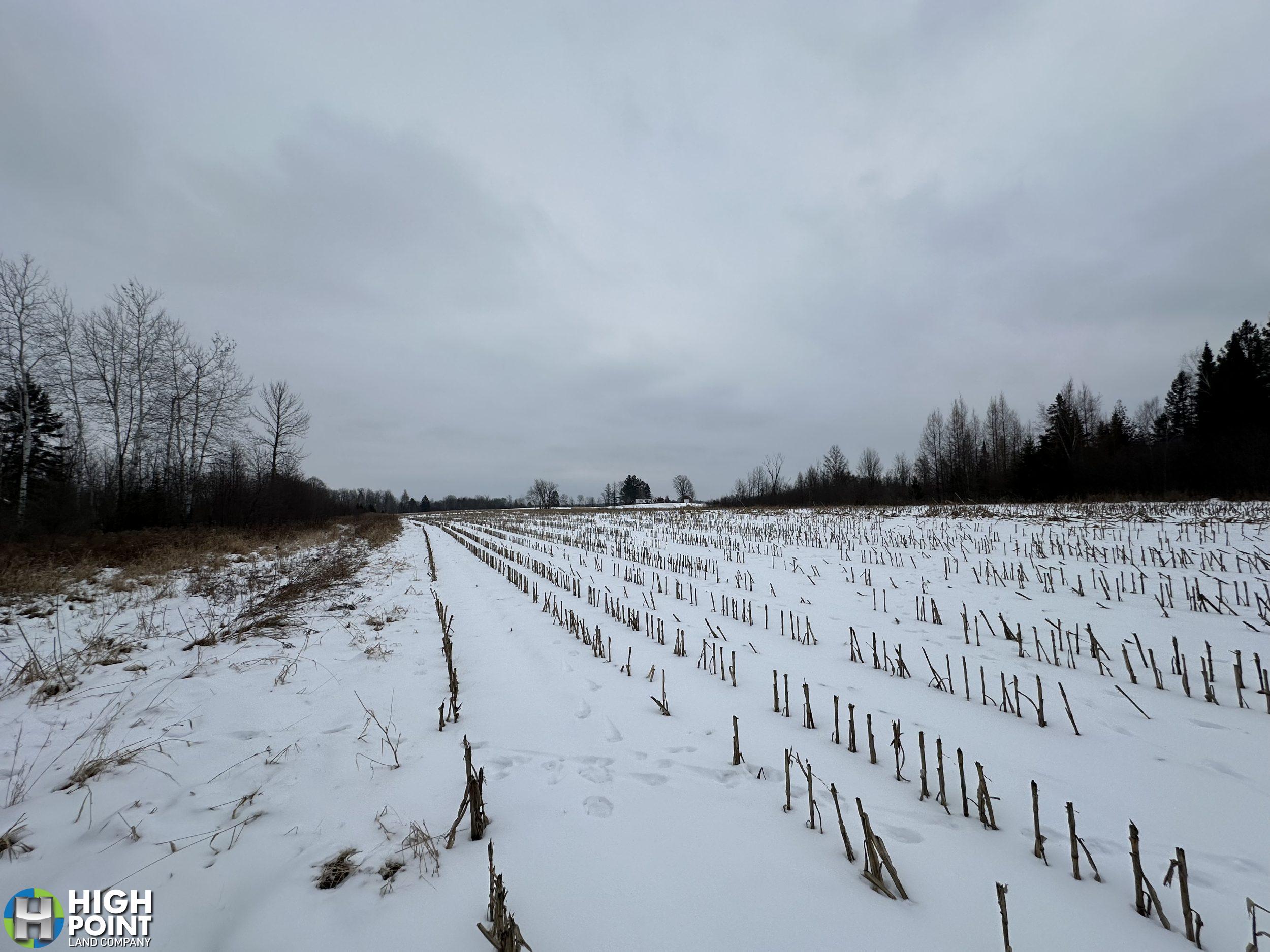
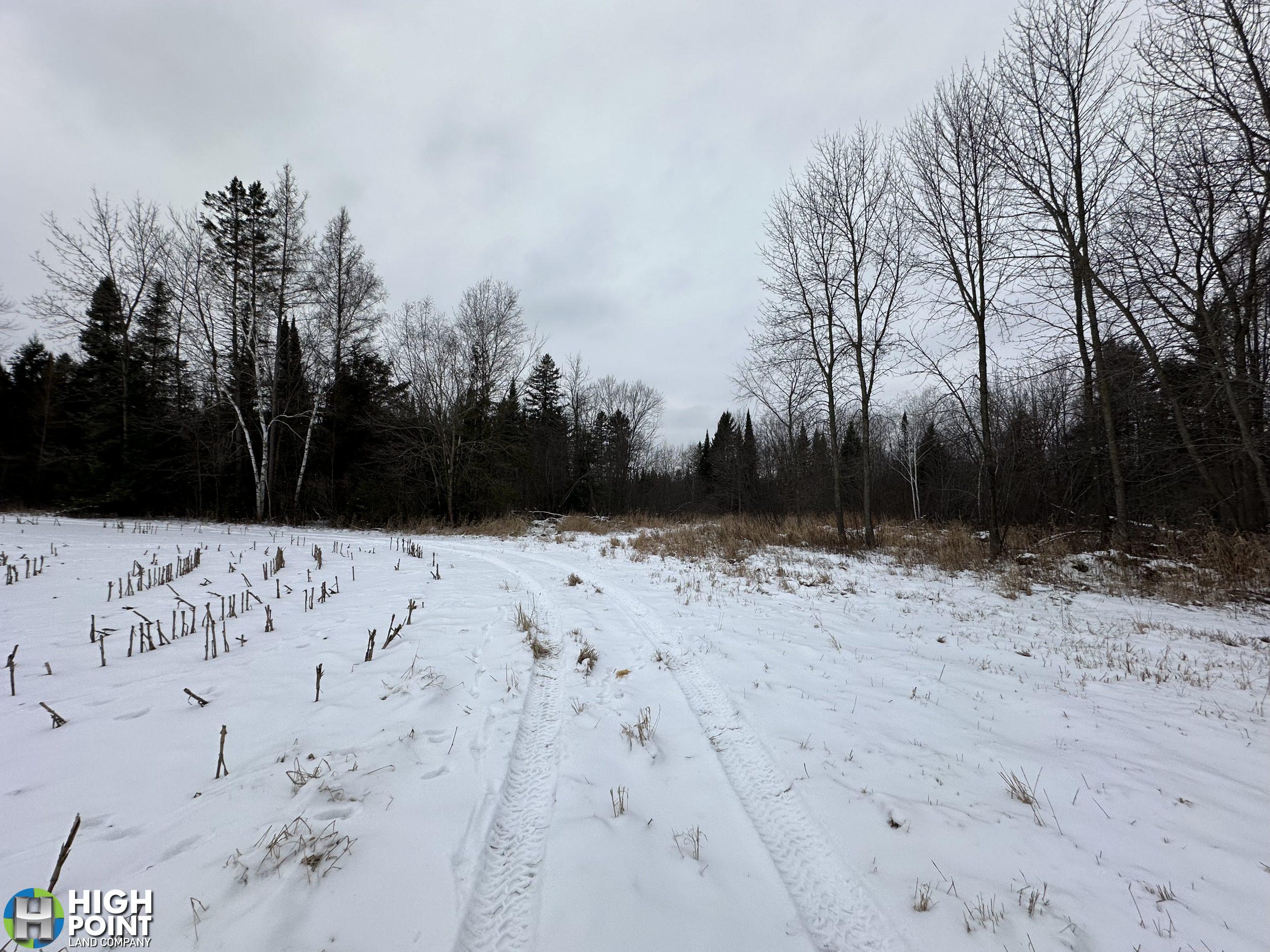
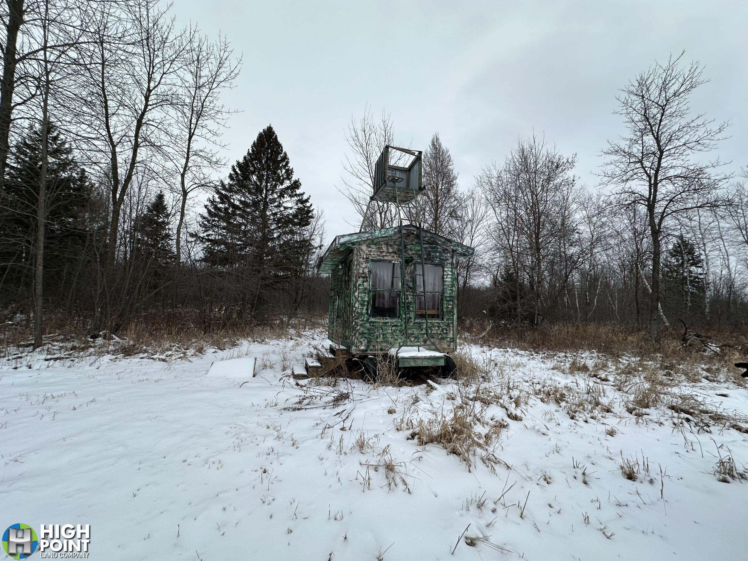
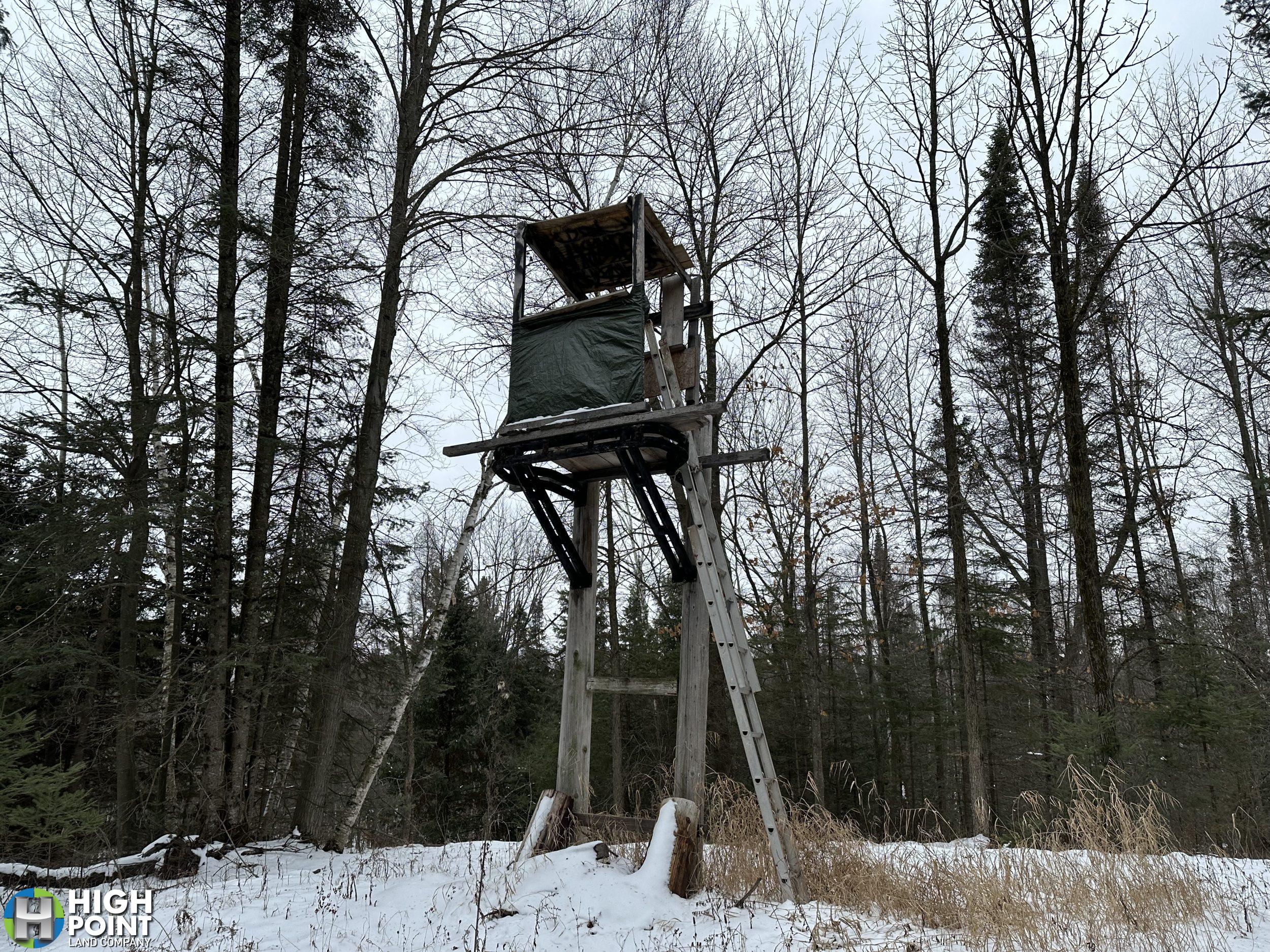
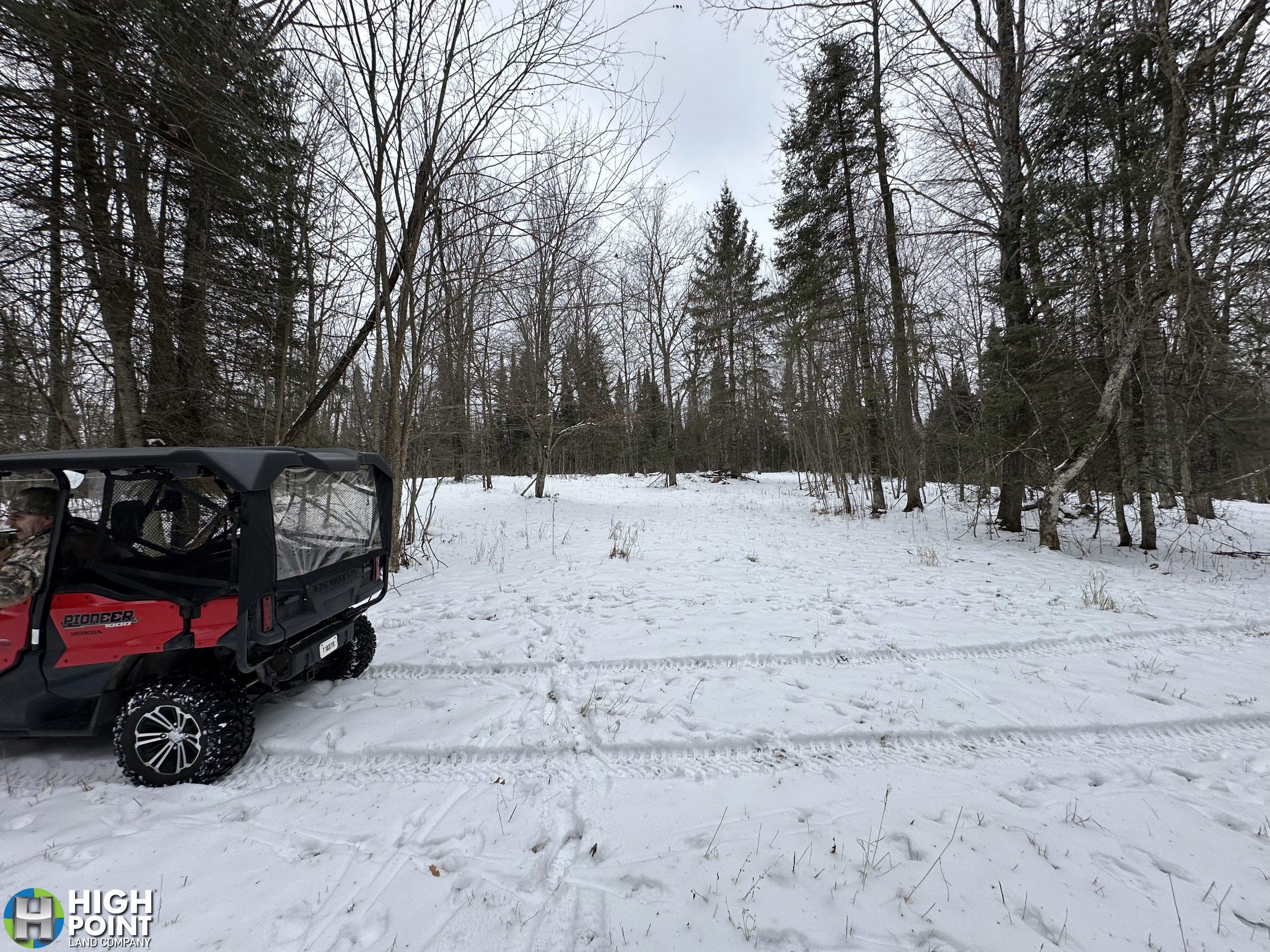
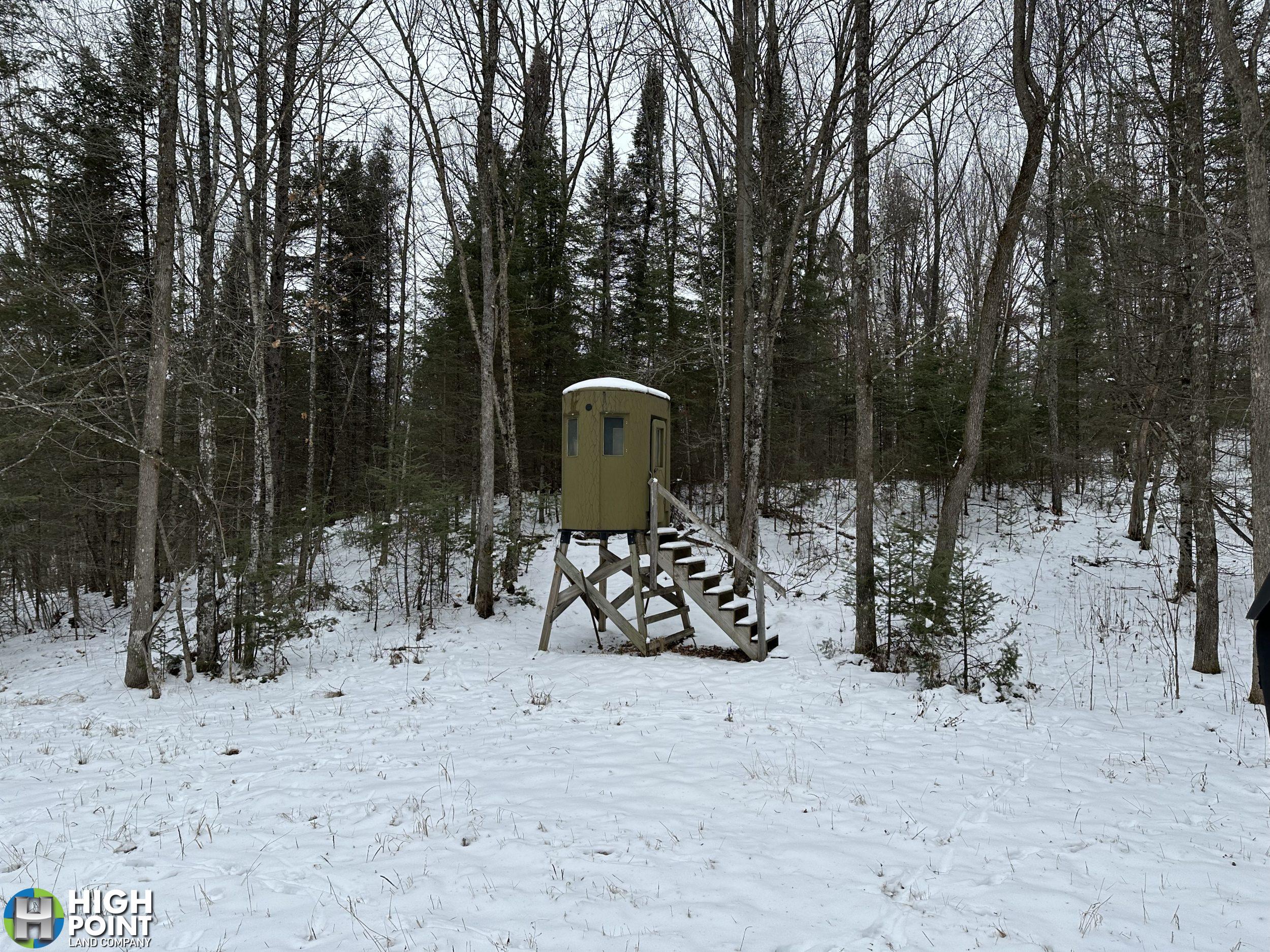
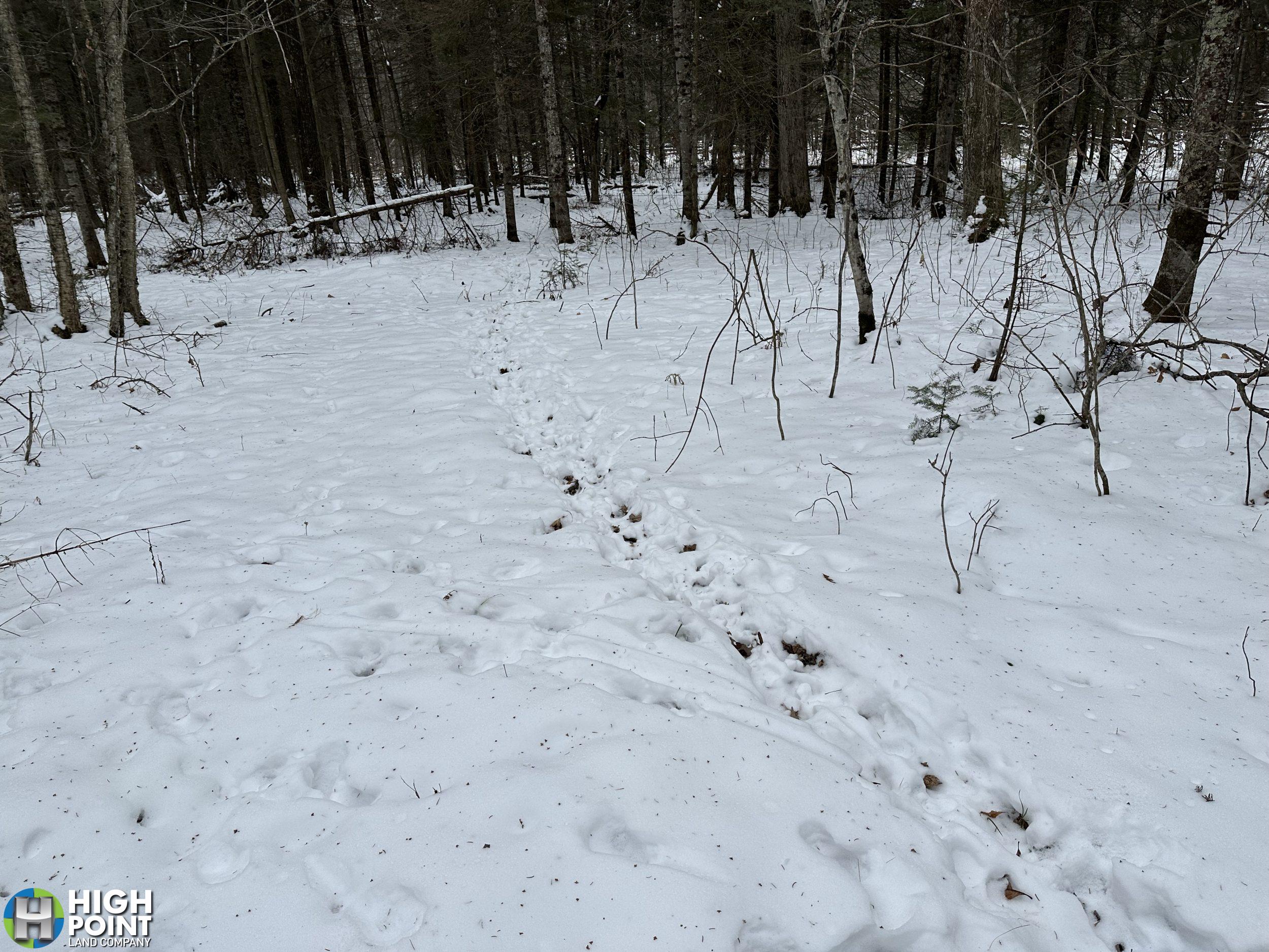
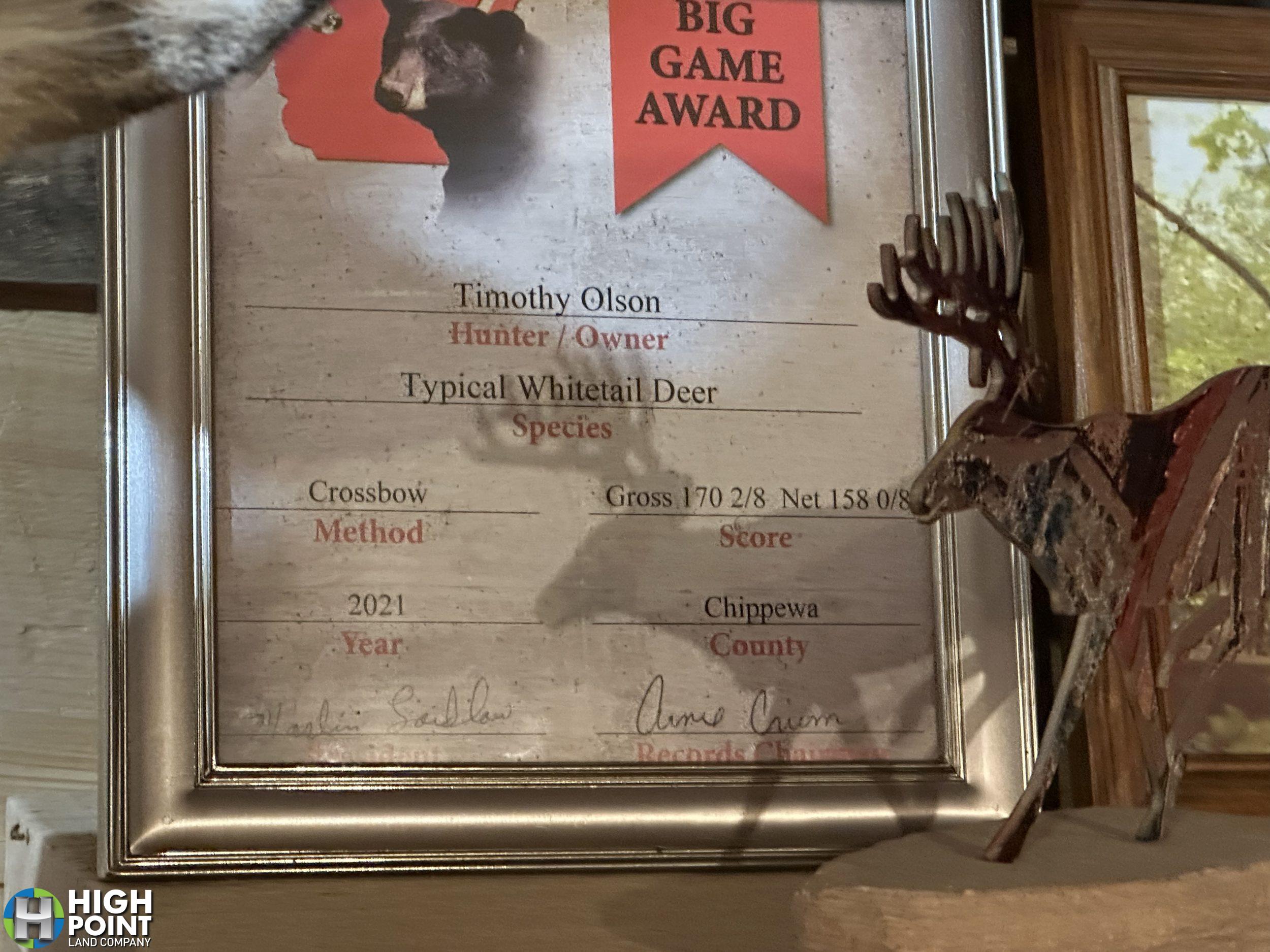
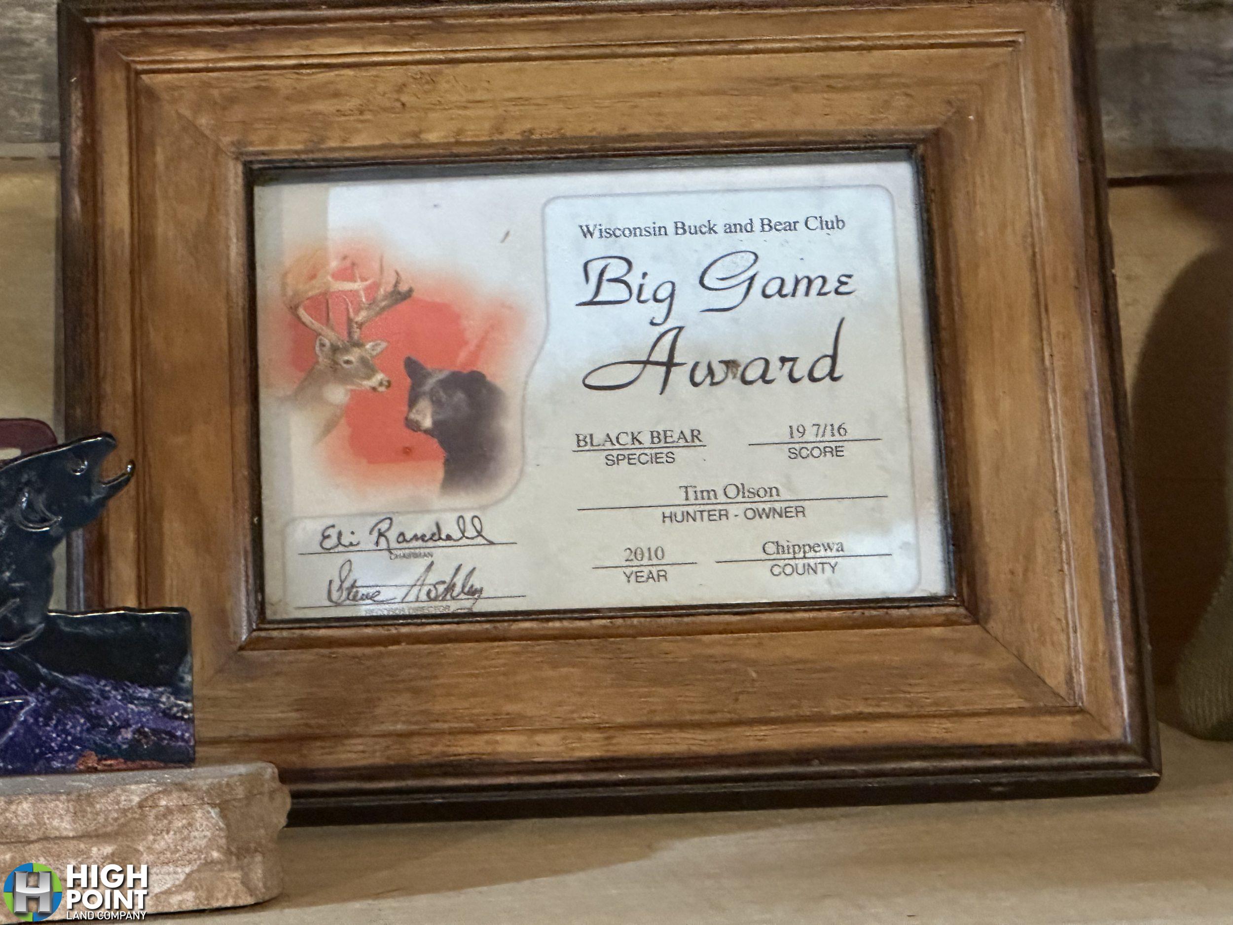
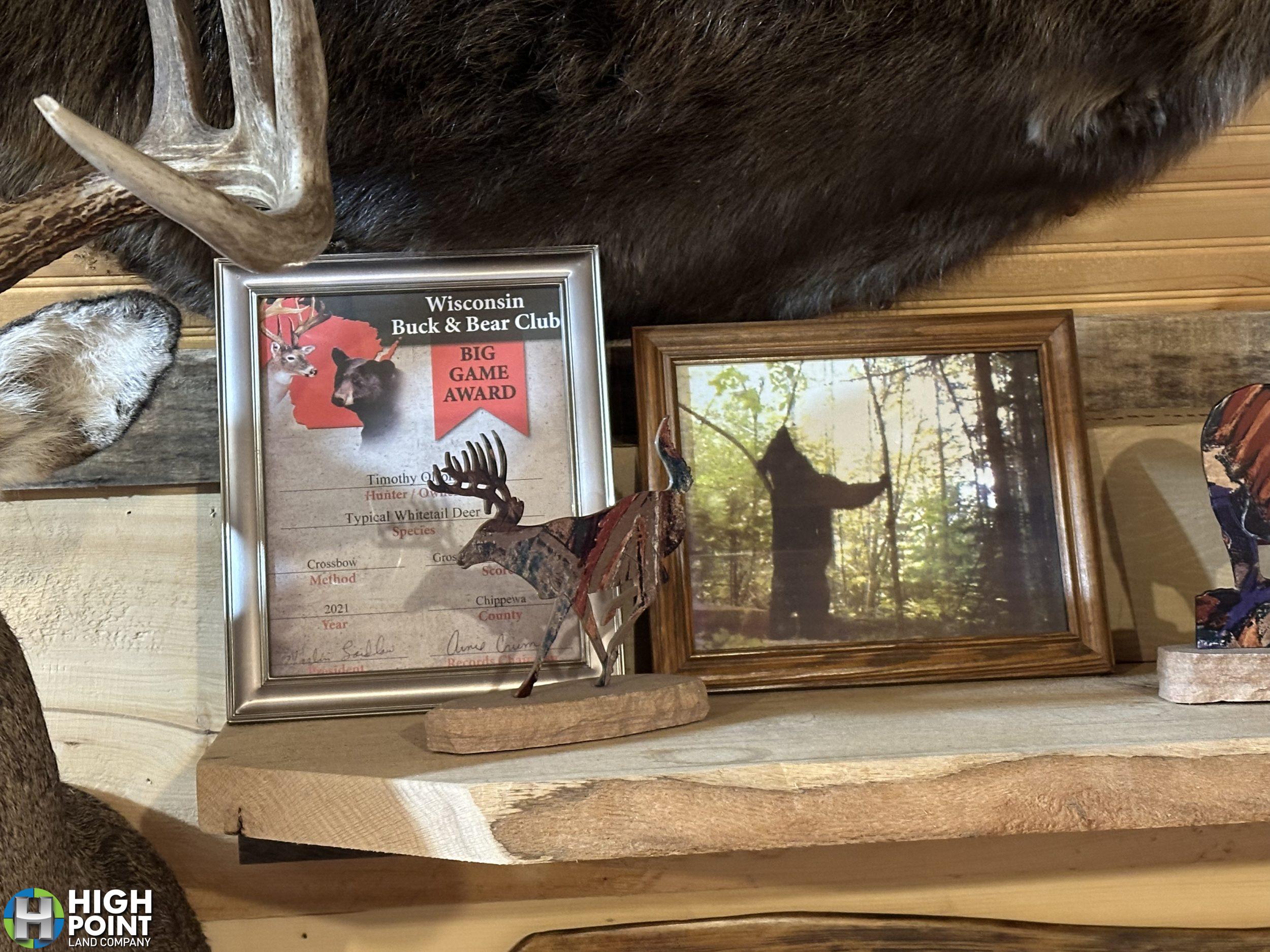
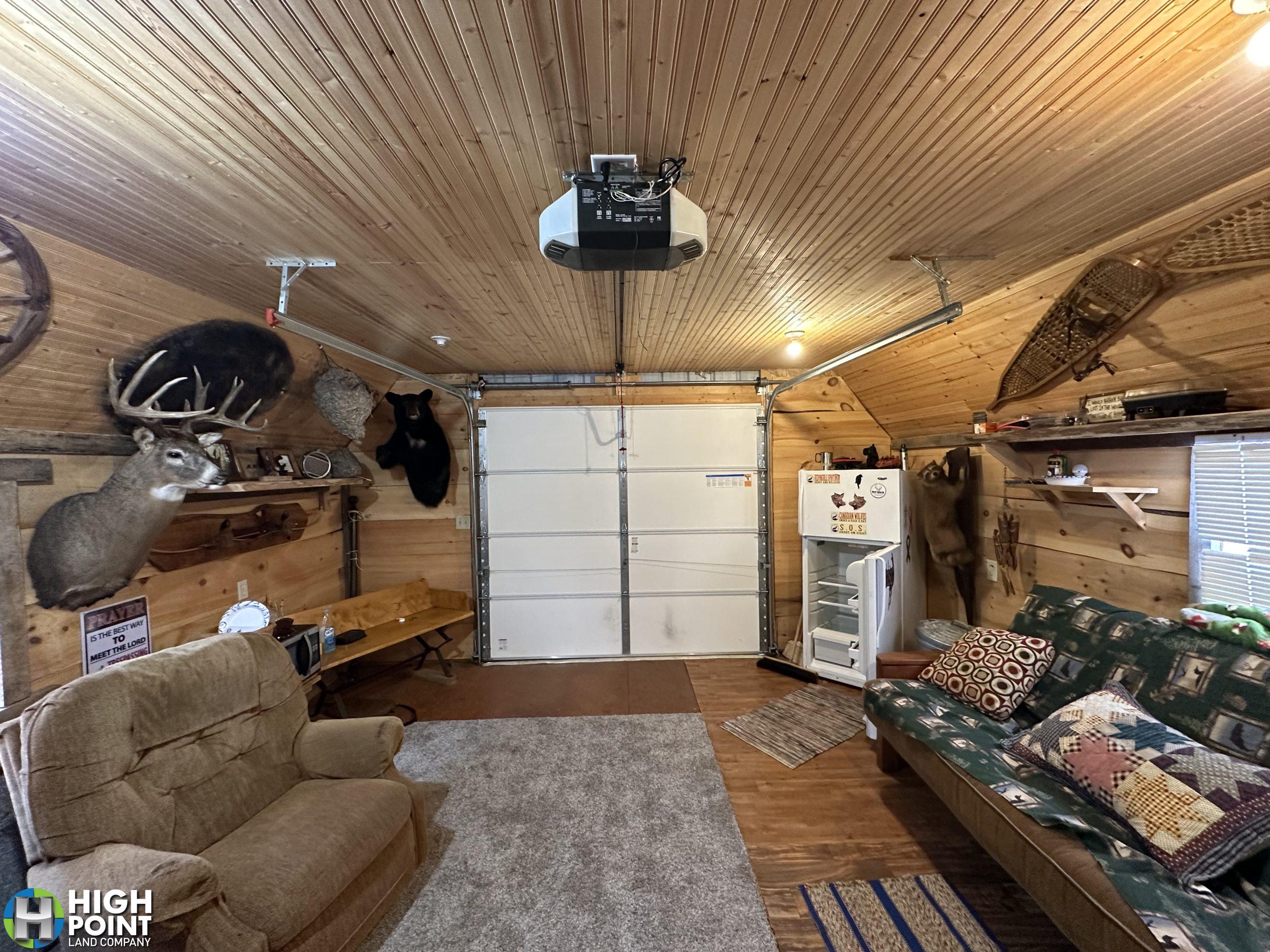
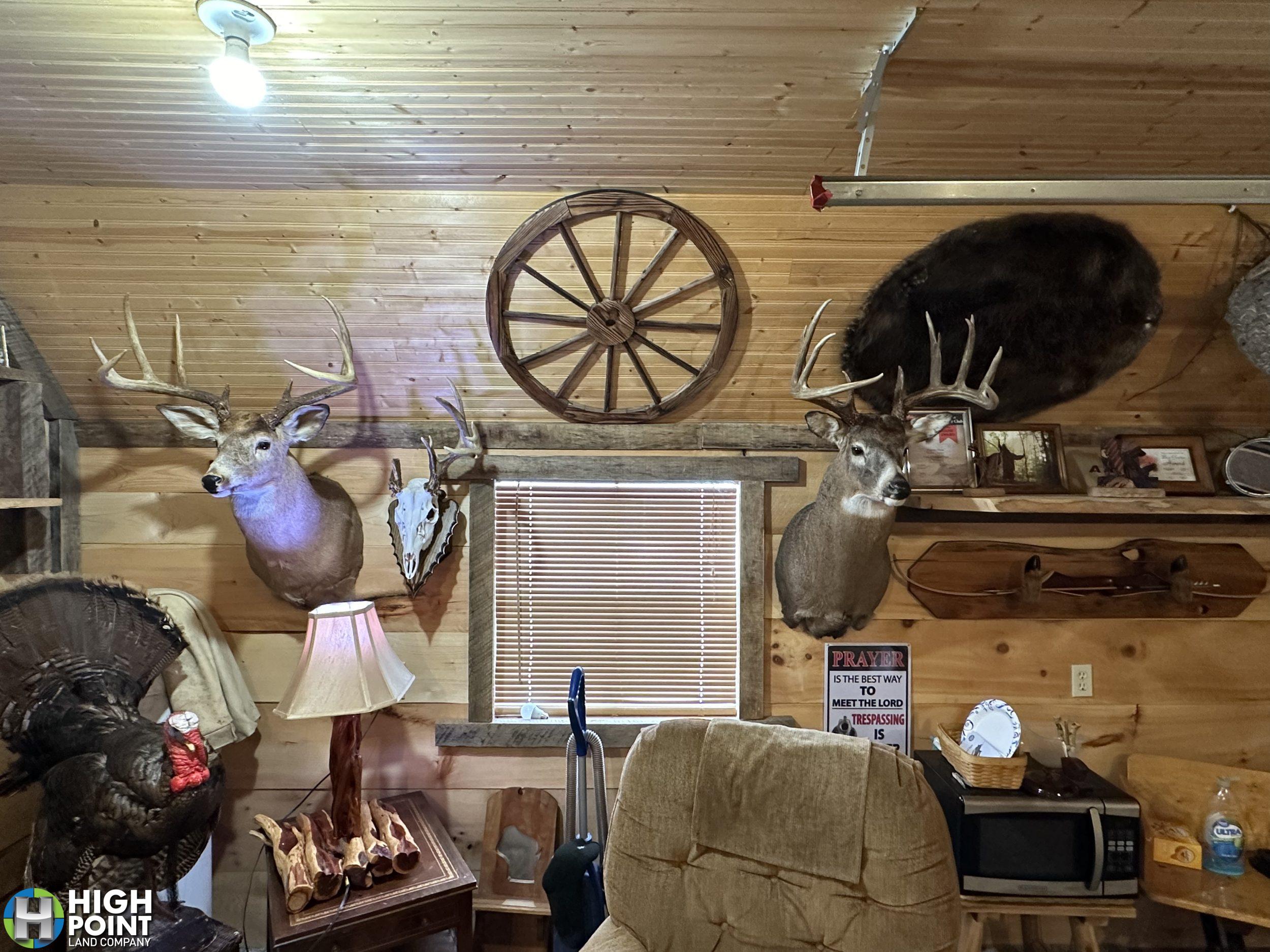
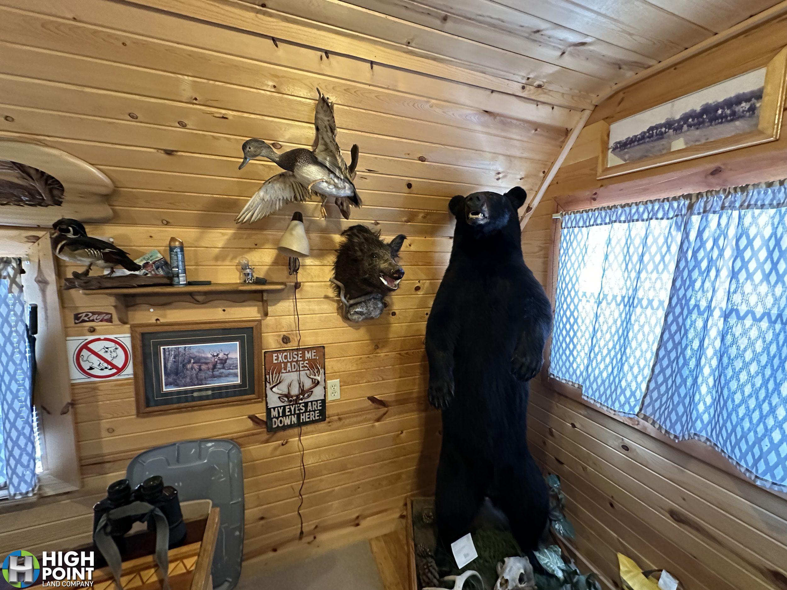
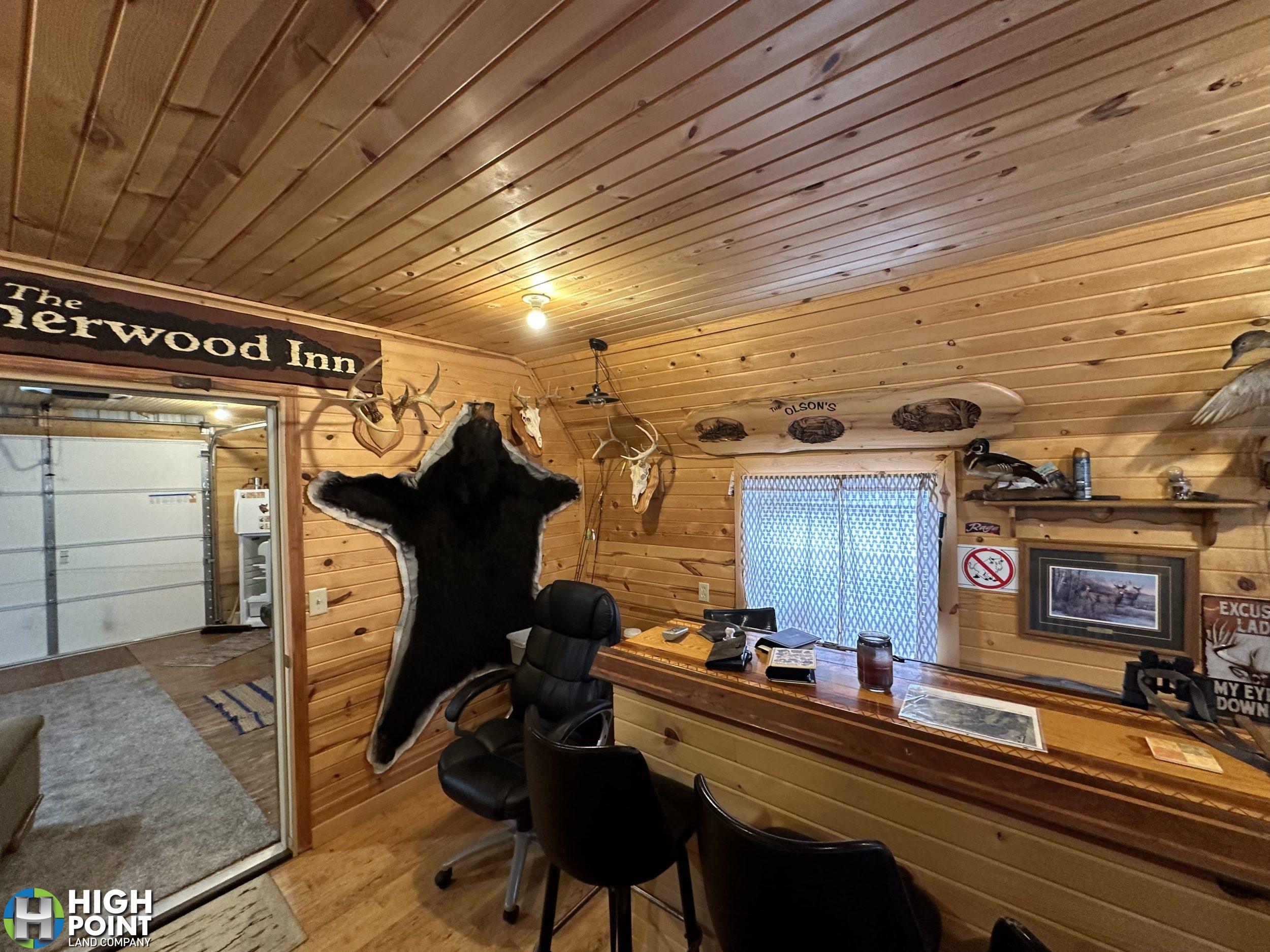
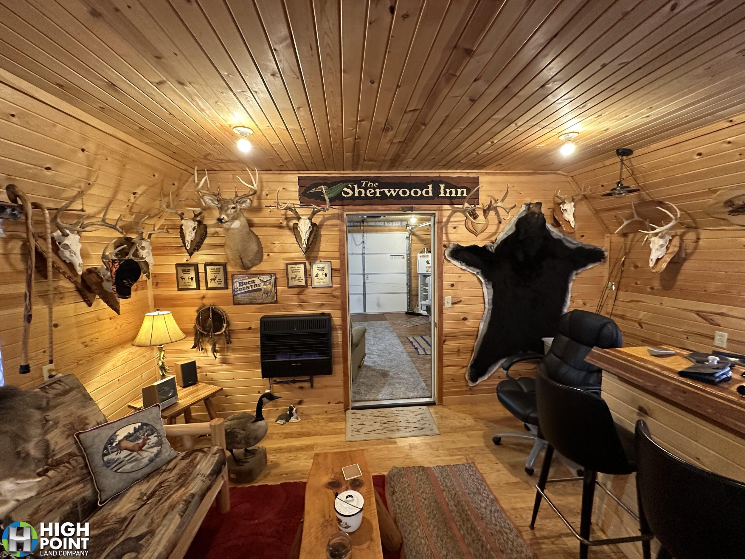
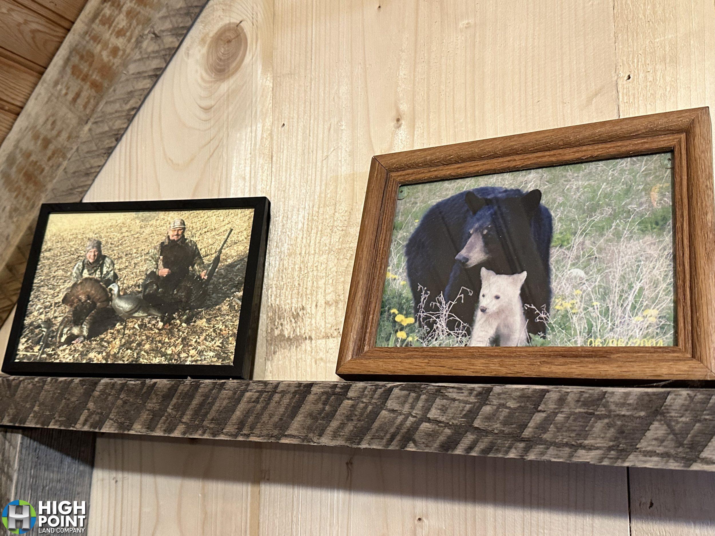
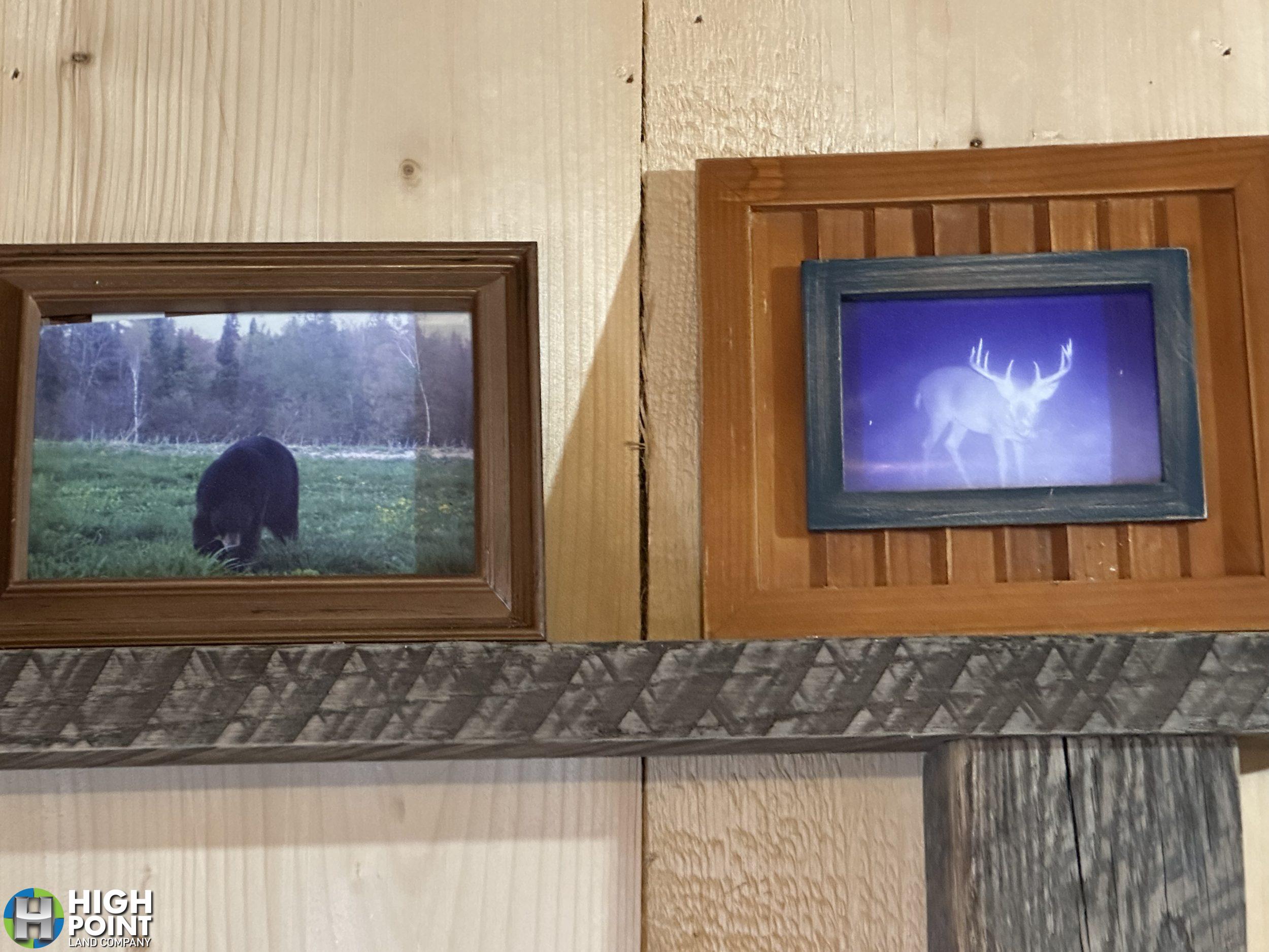
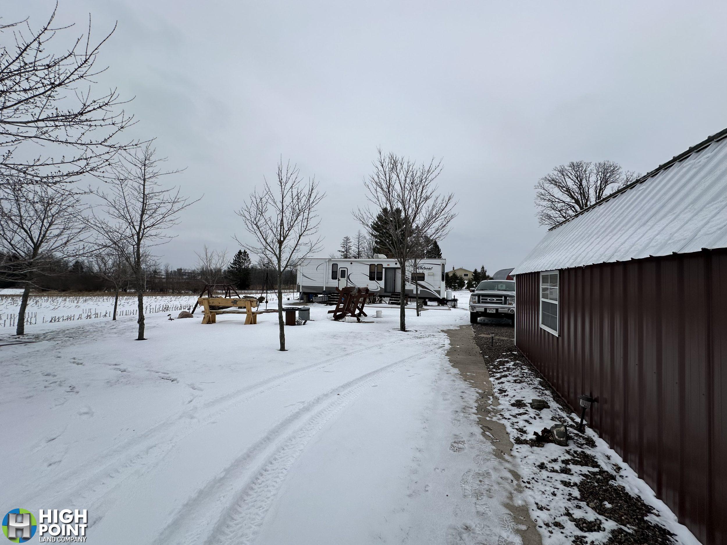
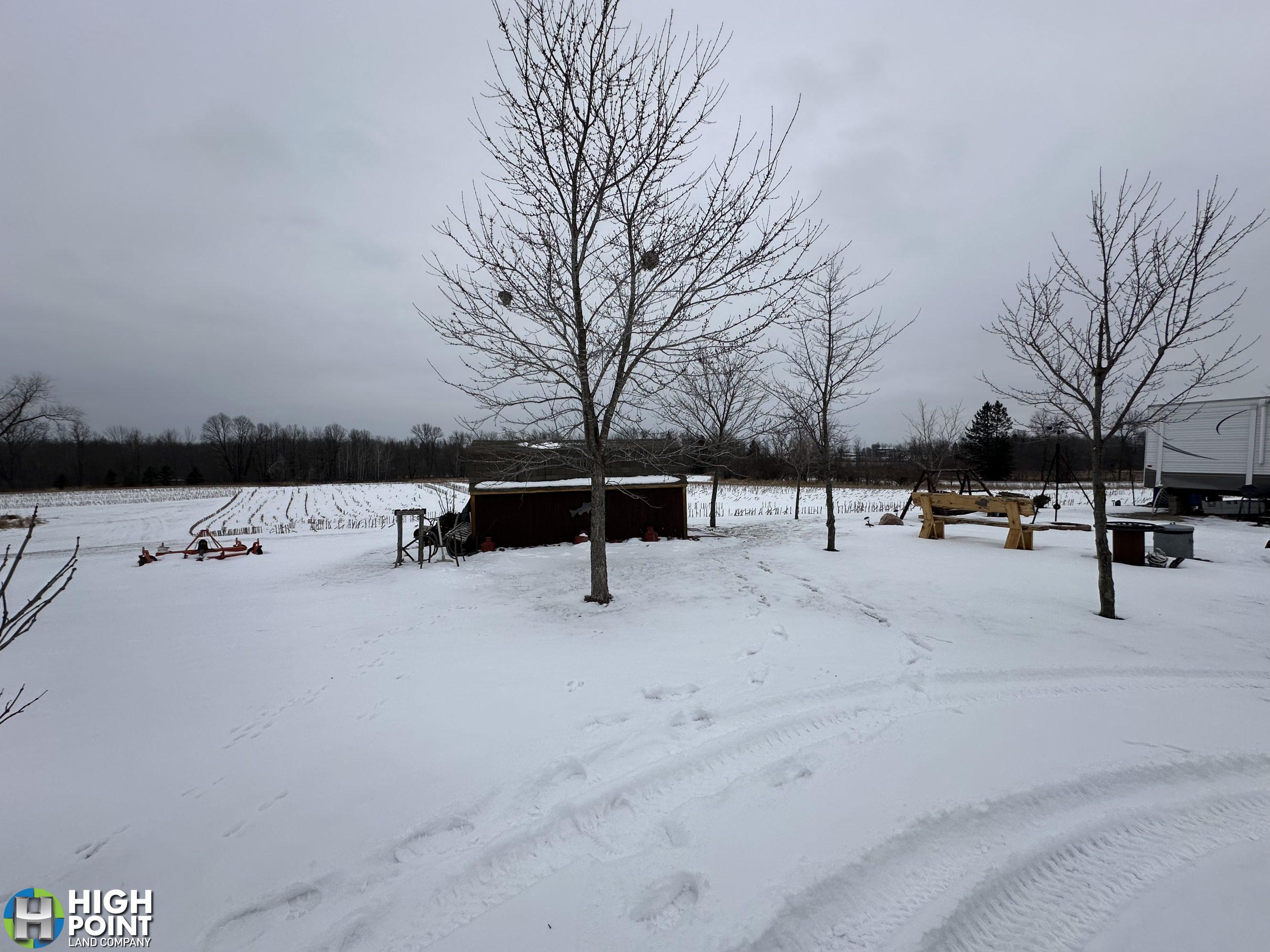
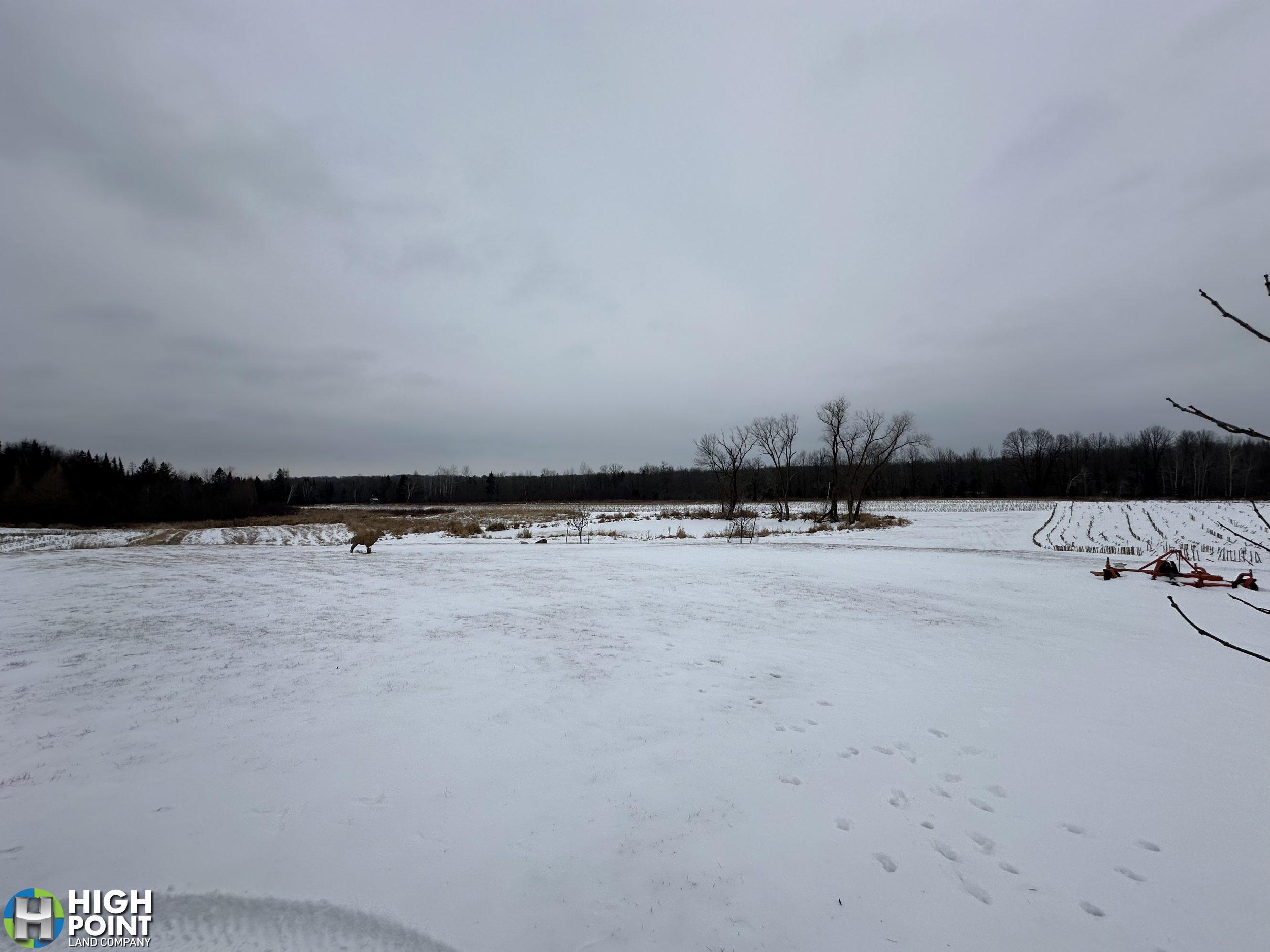
Located in Chippewa County, WI in the township of Eagle Point lies this one of a kind 100 +/- acre outdoorsman’s paradise! For the avid outdoorsman this property is located in an excellent neighborhood with great deer genetics and in a QDM (Quality Deer Management) area! Multiple mature deer have been harvested off this property, with a couple of bucks grossing over 170.” This property offers great diversity providing: slight elevation changes, to thick creek bottom of the South Fork Bob Creek, grassland areas, and thickets that the wildlife call home. This property will come as a turn key hunting property/camp including multiple stands and blinds, utility sheds, a 2014 Keystone Retreat 41 foot in length park model camper, and other miscellaneous items. Having multiple points of access to the property, paired with multiple locations and a centralized food source is surely something you won’t want to overlook! Also for the avid outdoorsman this property offers excellent bear hunting. The owner has harvested multiple bears on the property, with one of the black bears scoring 19 7/16 by the Wisconsin Buck and Bear Club. Turkey, grouse, pheasant, and coyote are also other animals that one could hunt on the property. If you’ve been looking for a turn key property that produces quality deer in a great deer hunting neighborhood, you won’t want to miss out on this excellent opportunity!
For questions or to schedule a private showing contact Wisconsin Land Specialist Garrett Halama directly at 715-797-0442 or email Garrett@Highpointlandcompany.com
Property Address:
18970 200th Street, Jim Falls, 54748
Property Features:
- Includes camper, shed, and additional items
- Excellent Hunting
Driving Directions:
From Bloomer take HWY 64 heading East Continue on State Highway 64 (WI-64) andGo for 9.4 mi. Then turn right onto County Highway R (CR-R) and go for 92 ft and turn right onto 205th St. Follow 205th for a mile and it will turn into 200th St. Follow 200th for about 500 feet and your destination will be on your right.
View Associated Files

FSA Map
Soil Map
Topography Contours
Topography Hillshade