72.96+/- Acres Sawyer County, WI
- Video
- Photos
- Maps
- Satellite


72.96 Acres +/-
$284,000
Wisconsin
Sawyer
#WI713222
Description
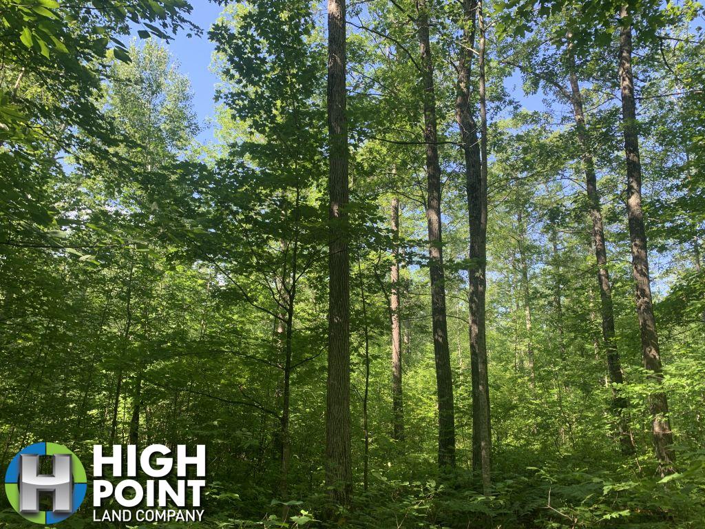
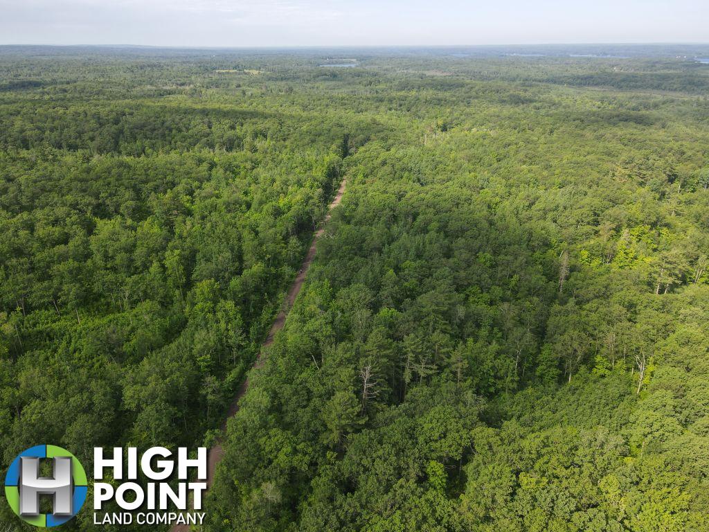
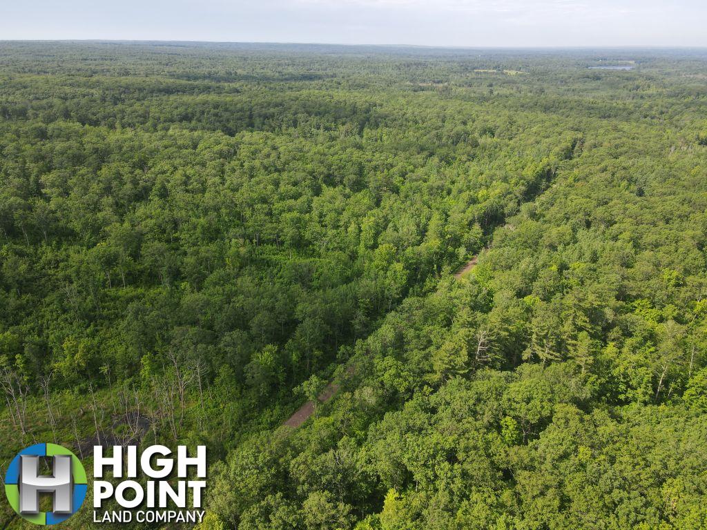
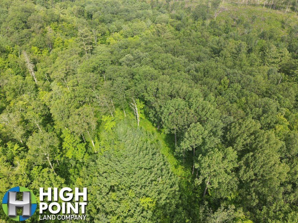
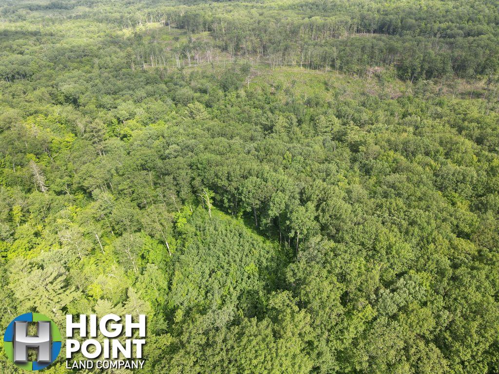
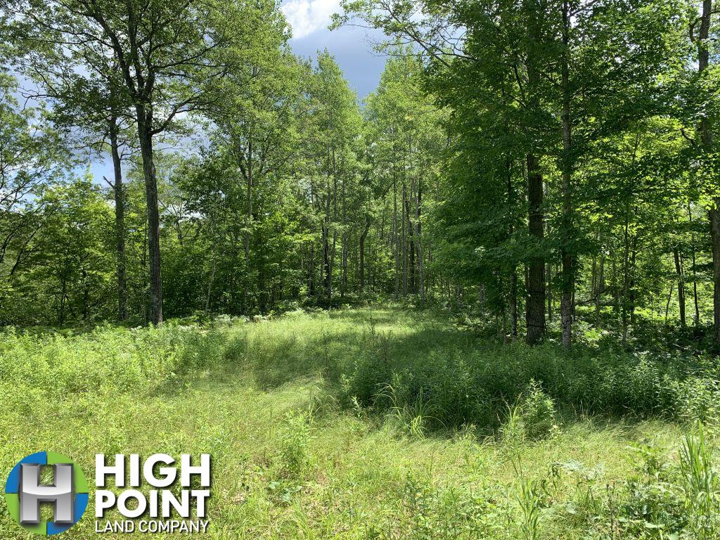
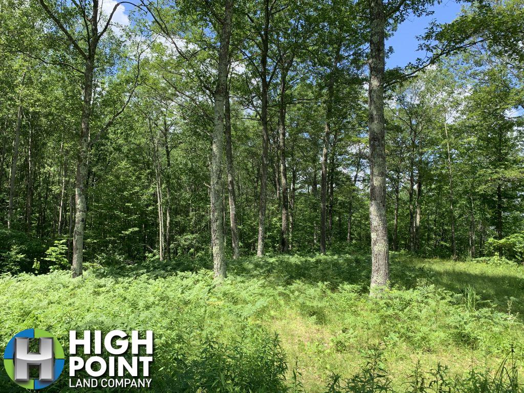
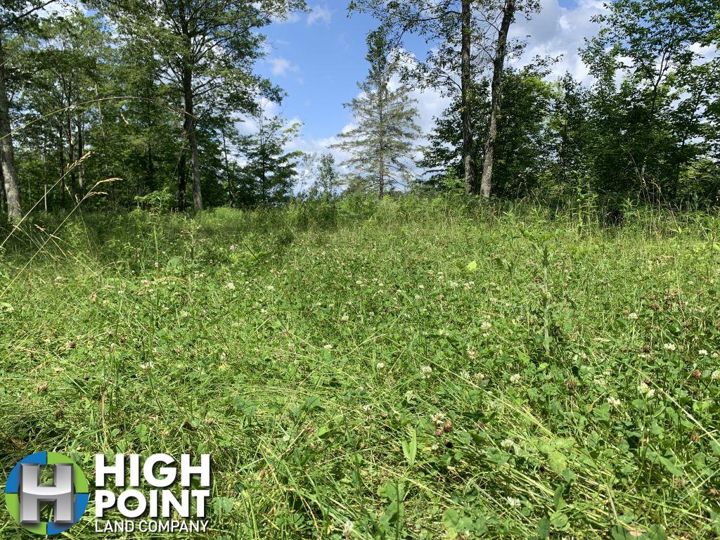
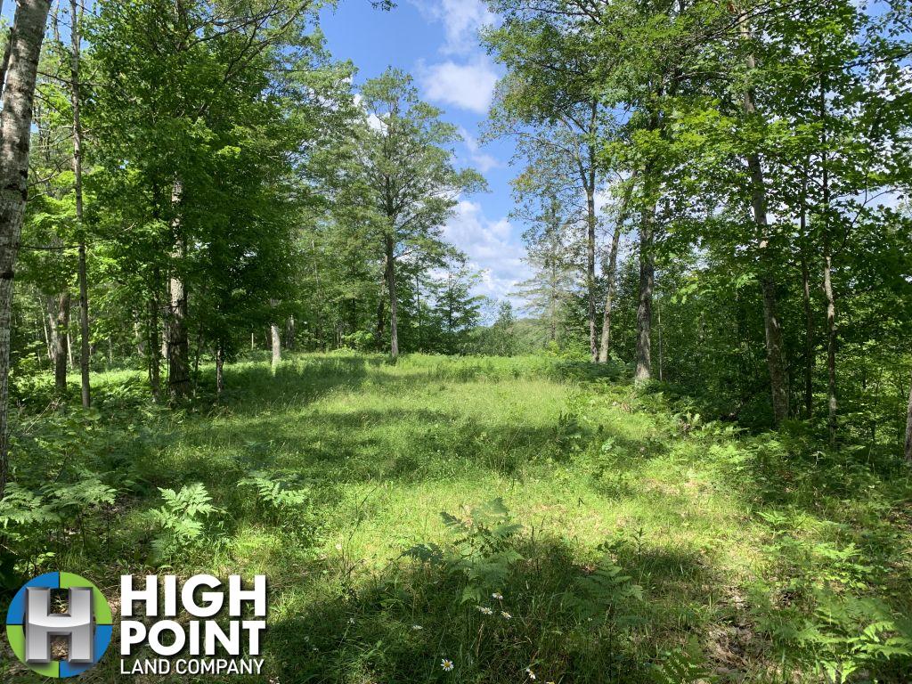
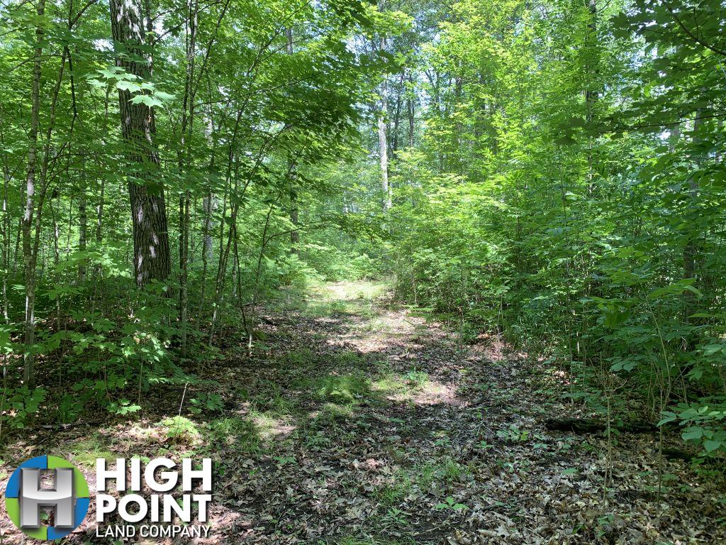
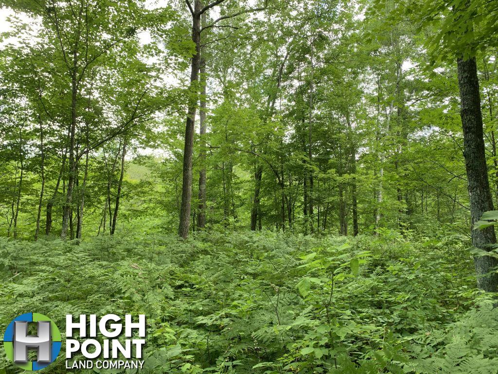
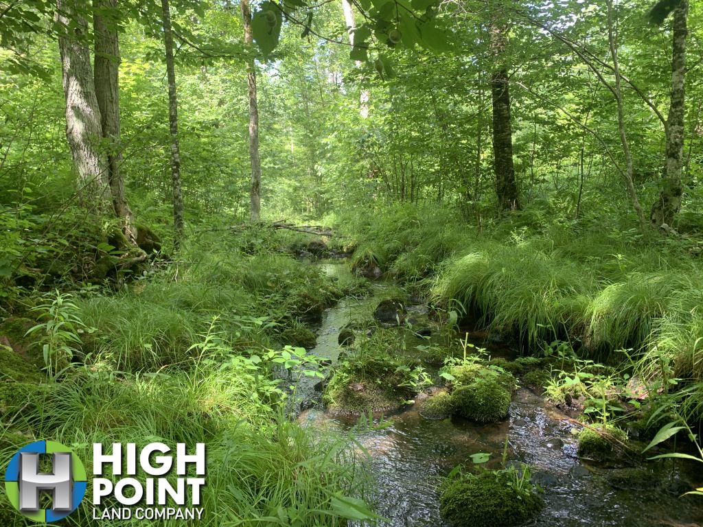
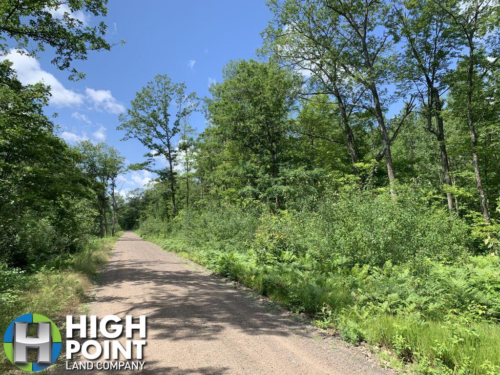
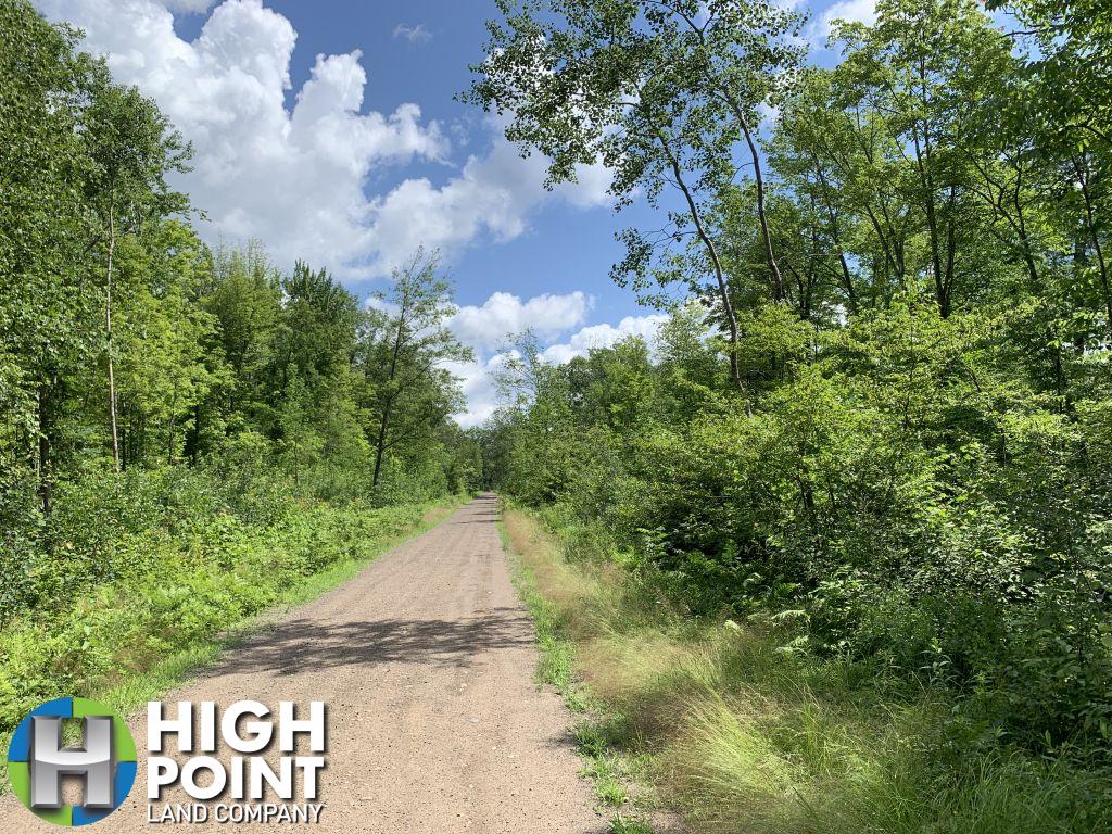
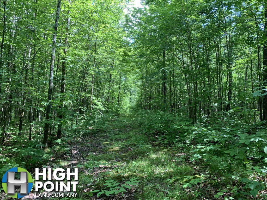
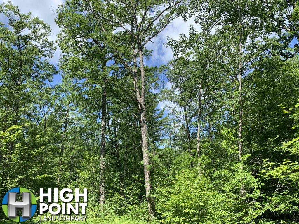
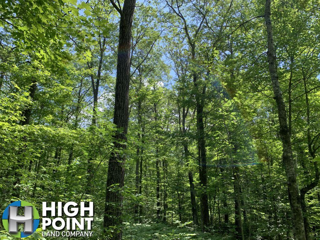
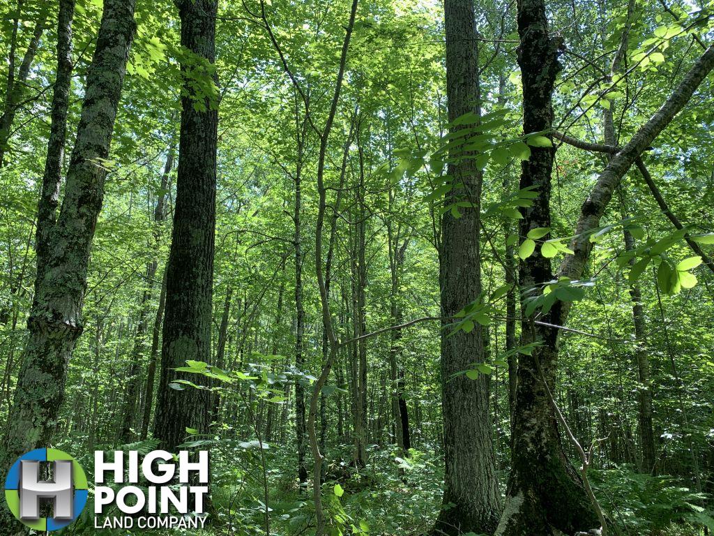
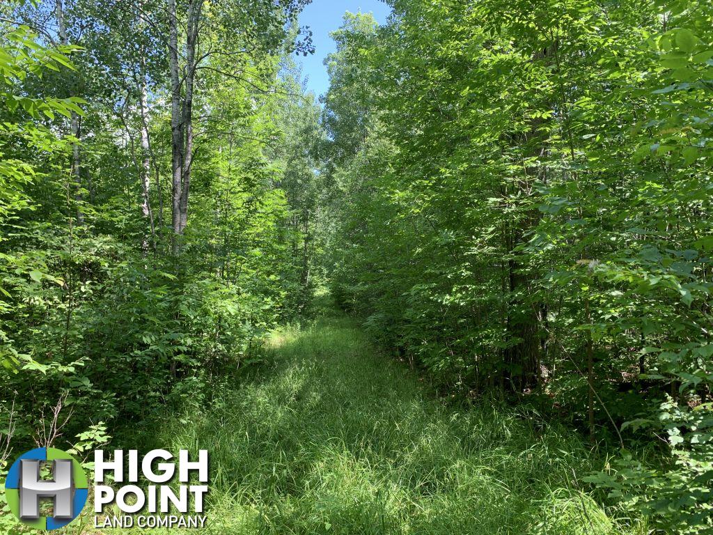
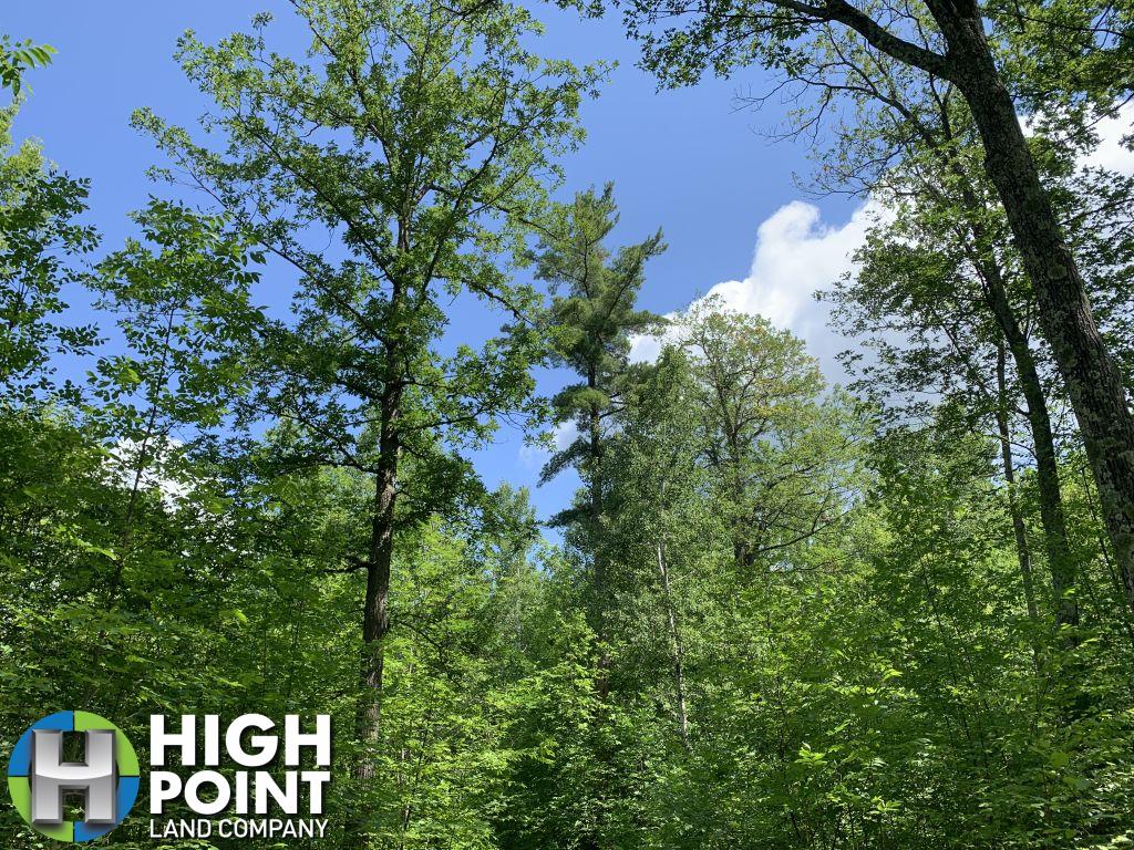
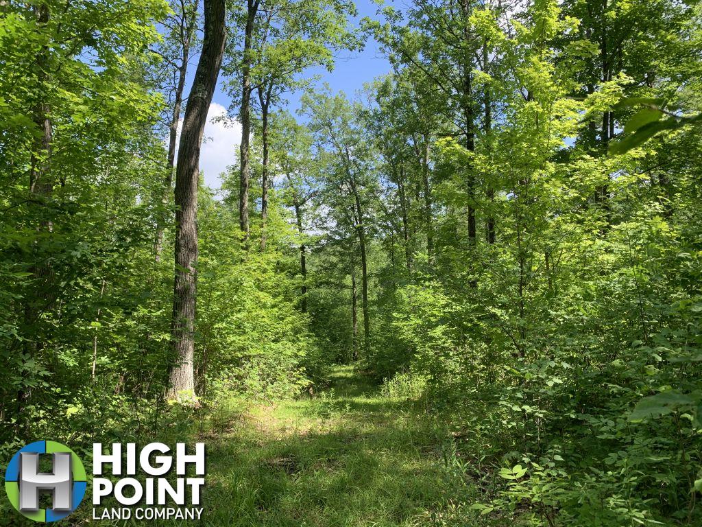
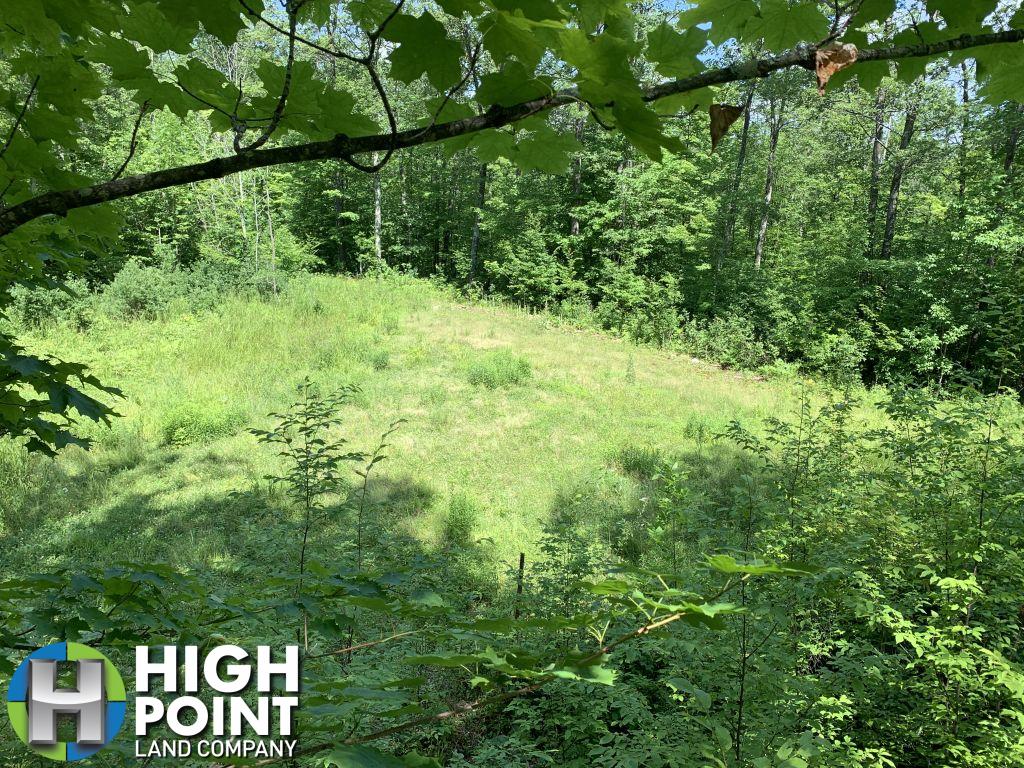
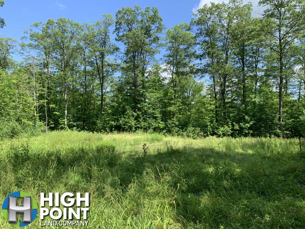
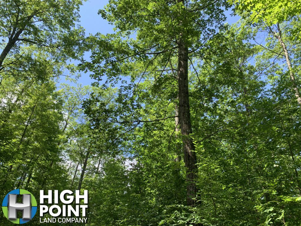
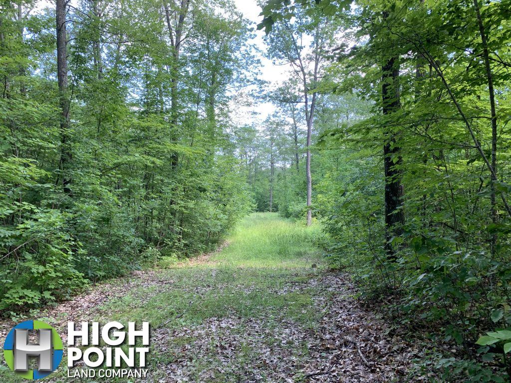
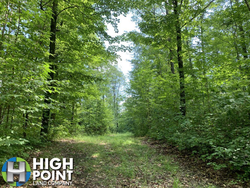
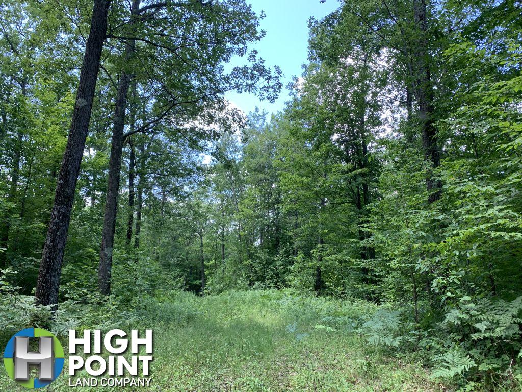
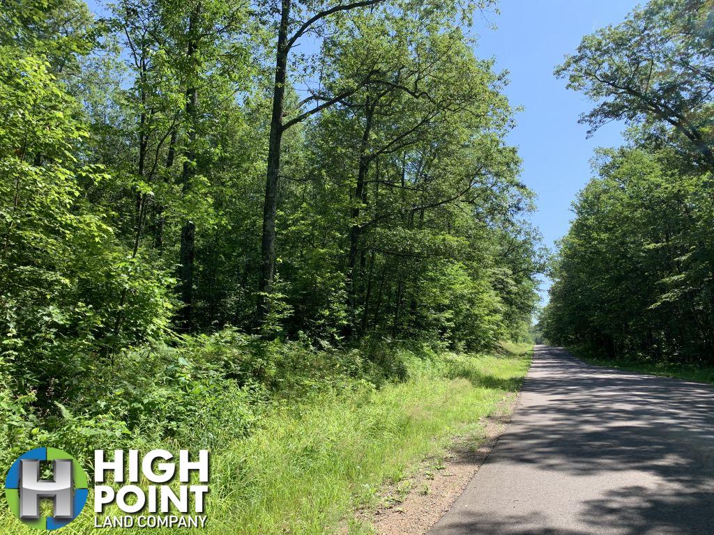
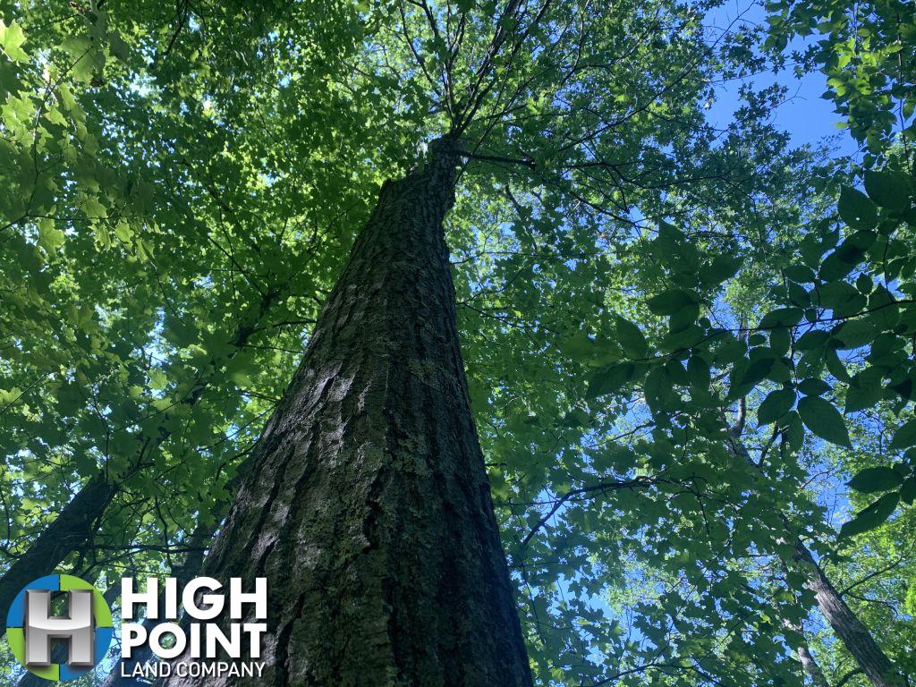
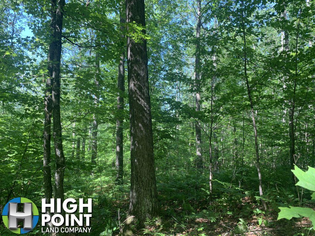
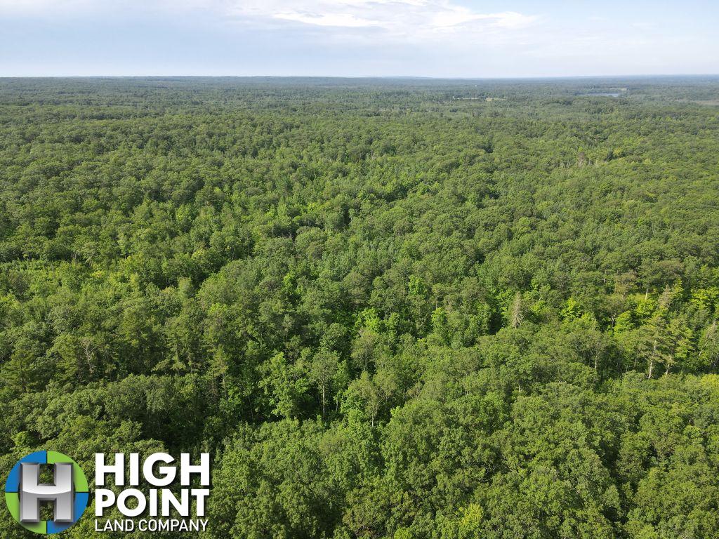
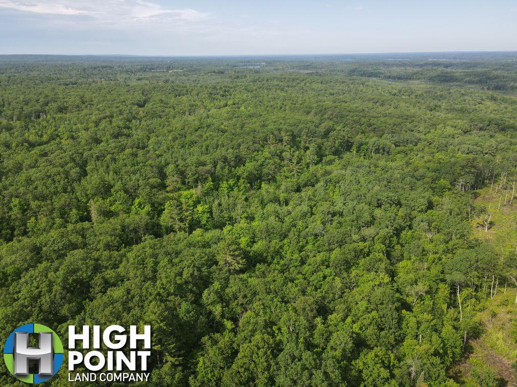
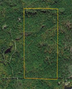
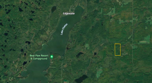
Located in Sawyer County, Wisconsin sits this remarkable 72.96 +/- acre property with nature views and mature timber providing a great ROI for you and your family for years to come. This tract offers a great location for that dream home or cabin, as well as a great spot for that northern Wisconsin hunting camp providing several great spots for secluded food plots. If you are interested in a weekend getaway to hike, ATV/UTV, or snowmobile this tract is connected to the Tuscobia State Trail stretching 74 incredible miles from Barron County up to Price County Wisconsin. If you enjoy fishing this property is just a few short miles from Red Cedar Lake, and Chatec Lake providing an excellent opportunity for Bass, Northern, Walleye and an abundant amount of pan fish. This property is also connected to Yarnell Creek, loaded with mature red and white oak across its entirety, and has a trail system built for easy access to both parcels. Given the strong timber market it is a great time to take advantage of a property that is set up for long time yields. This property is just 12 minutes to Birchwood, Wisconsin, 14 minutes to Edgewater, Wisconsin, 34 minutes to Hayward, Wisconsin, and 2 hours from the Twin Cities.
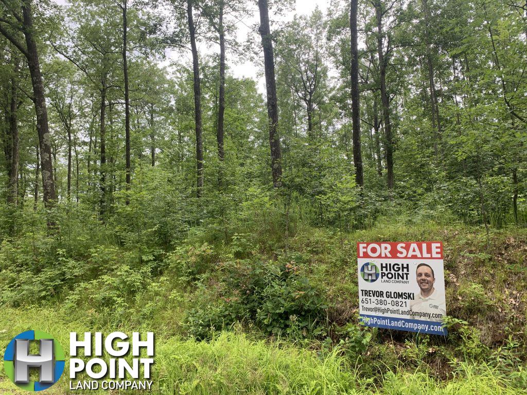
For more details contact WI Land Specialist, Trevor Glomski at 651-380-0821
Address: TBD N Woodale RD Birchwood, WI 54817
Directions: From Birchwood travel east on County 48, 5.3 miles. Turn left onto N Woodale road and travel 2.4 miles. Turn right to stay on N Woodale Road and travel 1.6 miles. Watch for signs.
Property Features:
- Buildable
- Excellent Timber Value
- Trails on property
- Connected to Tuscobia State Trail
- Good Hunting
- Established Food plots
- Creek on Property
- Beautiful Nature Views
- Yarnell Creek Falls
- Quiet
View Associated Files

FSA Map
Soil Map
Topo Map