66.36+/- Acres Dubuque County, IA – AUCTION
- Video
- Photos
- Maps
- Satellite


66.36 Acres +/-
Iowa
Dubuque
#33284
Description
High Point Land Company is honored to represent the Lois Jasper Family Farm to be sold at Live Public Auction on March 2nd, 2022 at 1:00 PM at the Farley Memorial Hall, 204 1st Street NW, Farley, IA 52046
Online Bidding will also be available via simulcast broadcast during the auction.
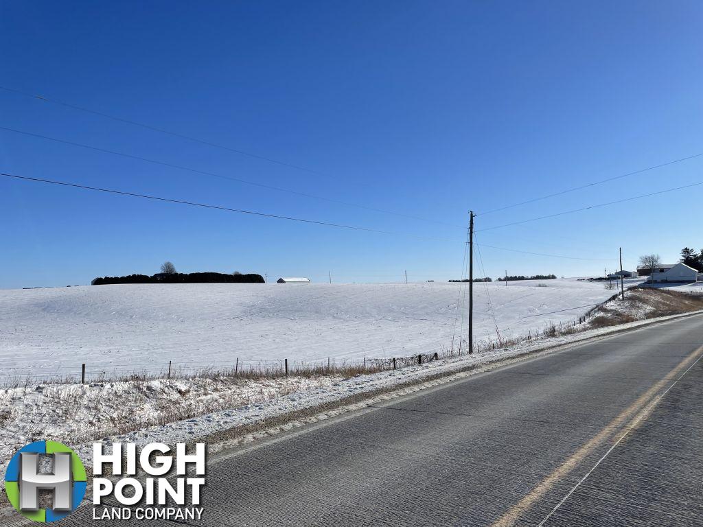
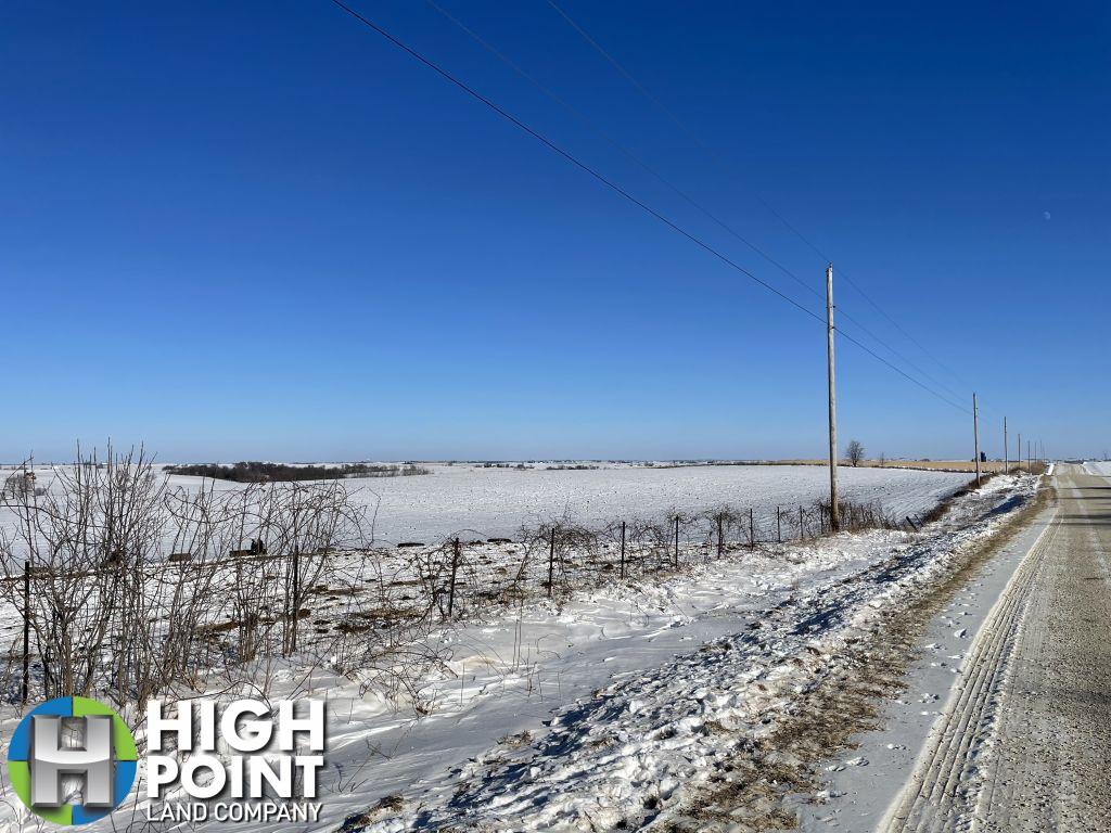
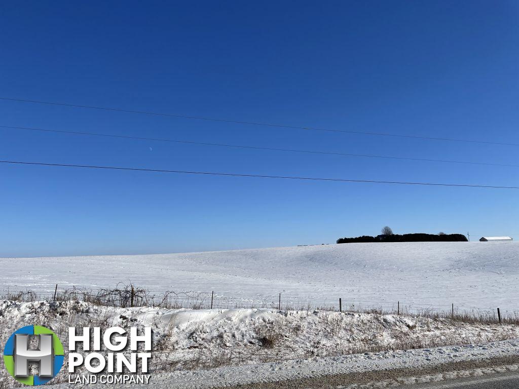
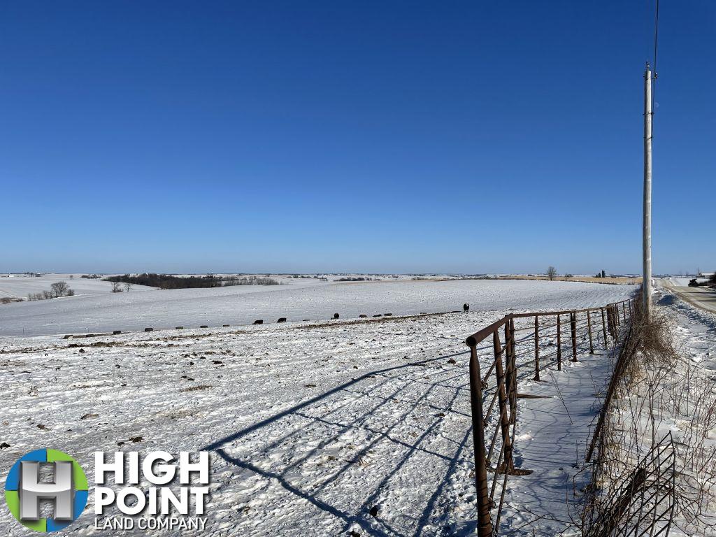
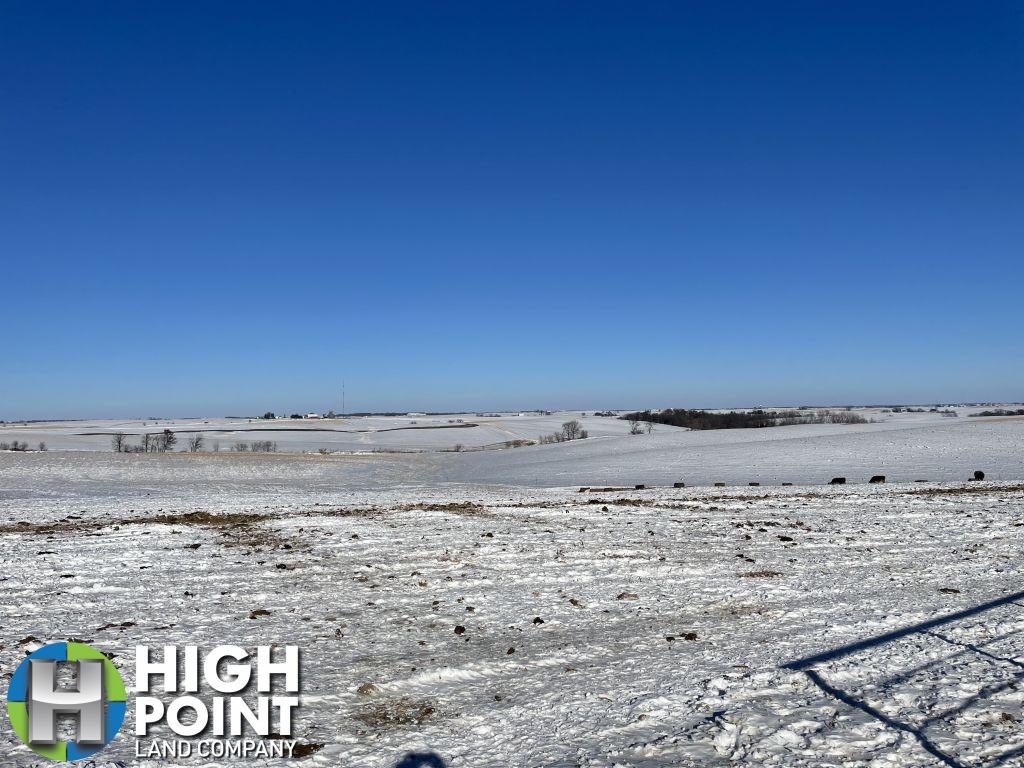
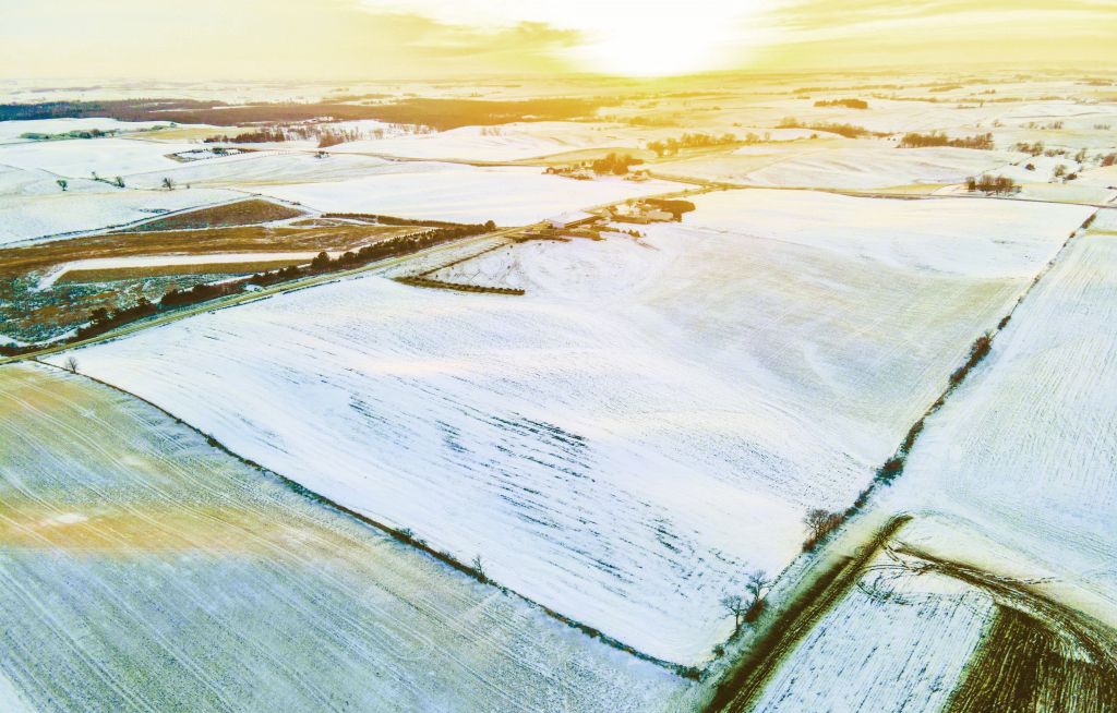
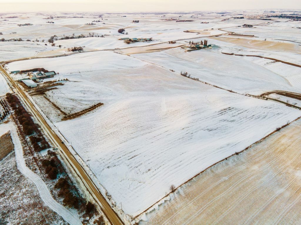
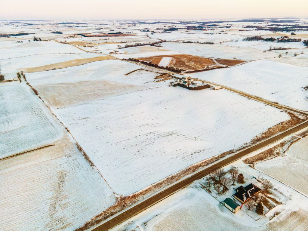
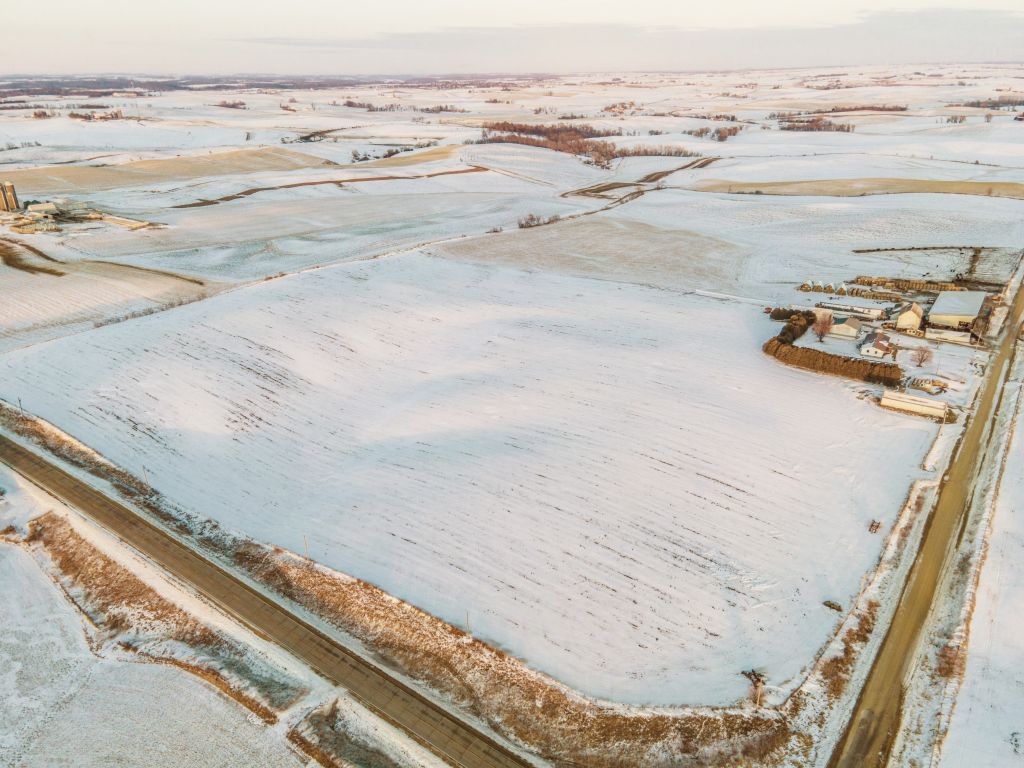
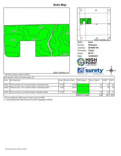
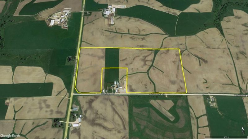
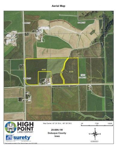
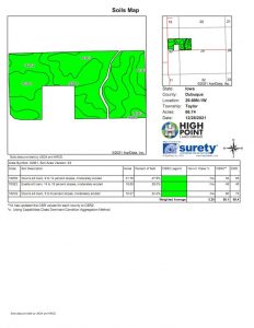
This property shall be offered in 1 tract consisting of 66.36 +/- total acres, including 66.74 acres of certified cropland. The tillable acres consist of highly productive Downs silt loam and Exette silt loam. These soils generate a CSR2 of 58.1 rating across the entirety. There have been recent tile projects completed as needed to provide adequate drainage.
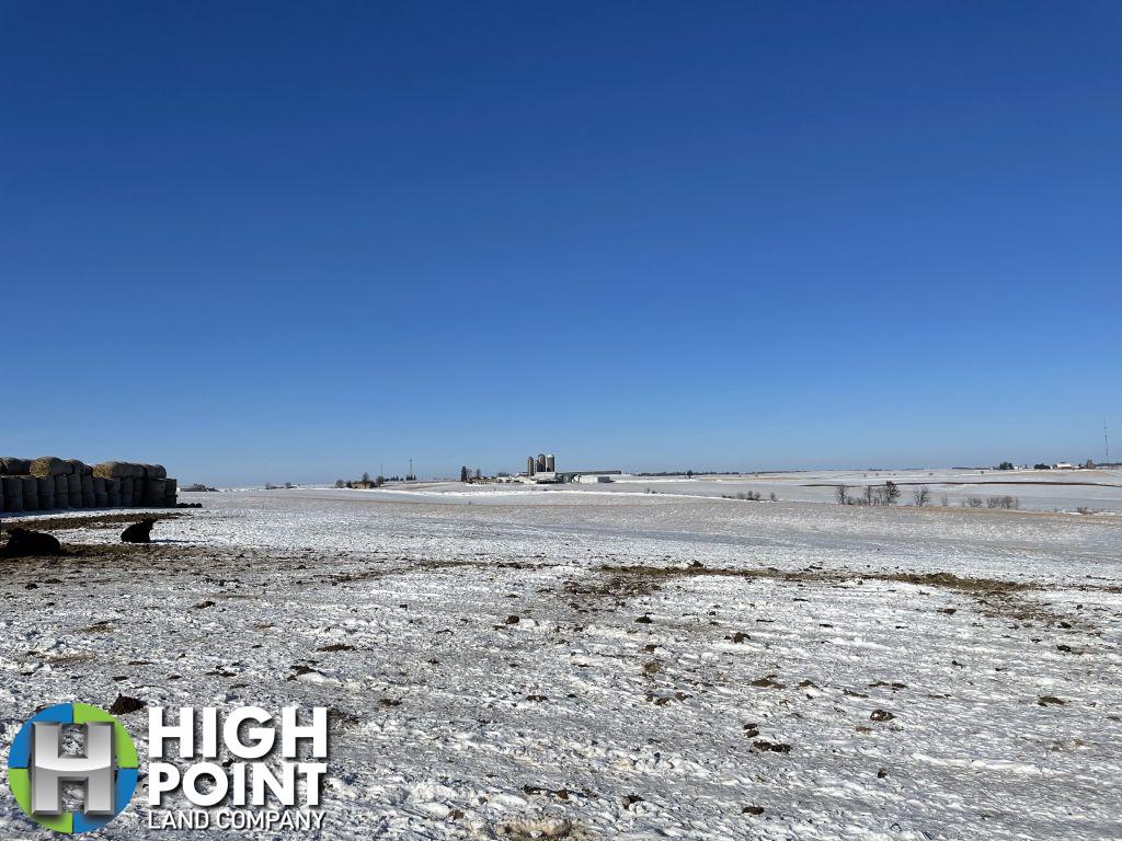
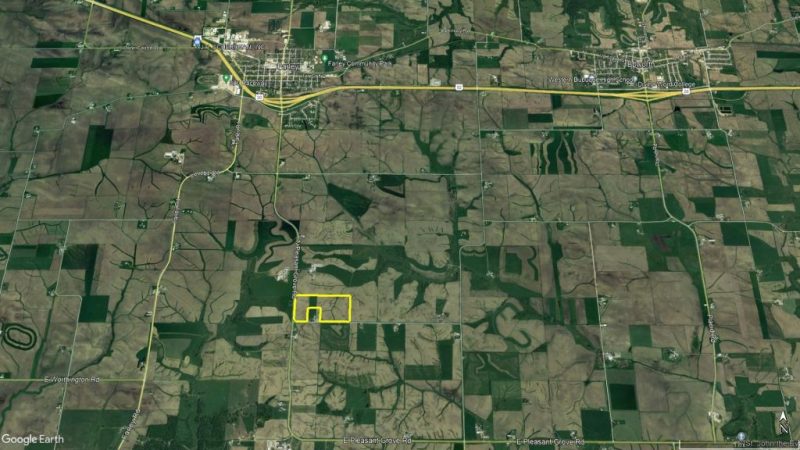
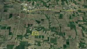
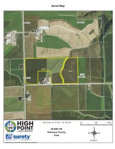
Located in Taylor township in Western Dubuque county where land is tightly held and rarely comes available to the public, this farm sits off of hard surface road North Pleasant Grove Road 2.5 miles south of Farley Iowa, offering multiple building sites. With Productive soils and 99% tillable this is an excellent opportunity for a current operator or investor to expand their portfolio.
A lease agreement is currently in place for the 2022 growing season with a tenant that would be interested in renting in the future, the buyer will receive cash rent for 2022 and the property will be open to farm in 2023 and beyond.
For more details contact Iowa Land Specialist, Matt Tobin at 563-451-7390 or matt@highpointlandcompany.com.
Property Features:
- 66.74 Certified Cropland Acres
- Highly productive soils – 58.1 CSR2
- 2.5 miles south of Farley Iowa off Hard Surface Road
- Easy access to local grain markets
- Potential Building sites along Davidshofer Road
- Most recent Property Taxes: $2060 annually
Address: TBD Davidshofer Road, Farley, IA 52046
Directions: From Farley- Travel South on North Pleasant Grove Rd 2.5 Miles to Davidshofer Road. Turn East (Left). Farm is on North Side (Left) of the road.
View Associated Files

Property Information Packet
FSA Map
Soil Map
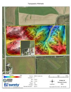
Topo Map
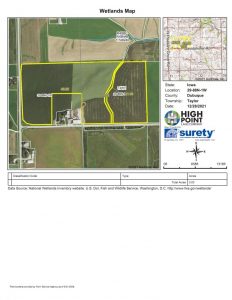
Wetlands Map
FSA-156EZ