35+/- Acres Dubuque County, IA
- Video
- Photos
- Maps
- Satellite

35 Acres +/-
$455,000
Iowa
Dubuque
#54458
Description
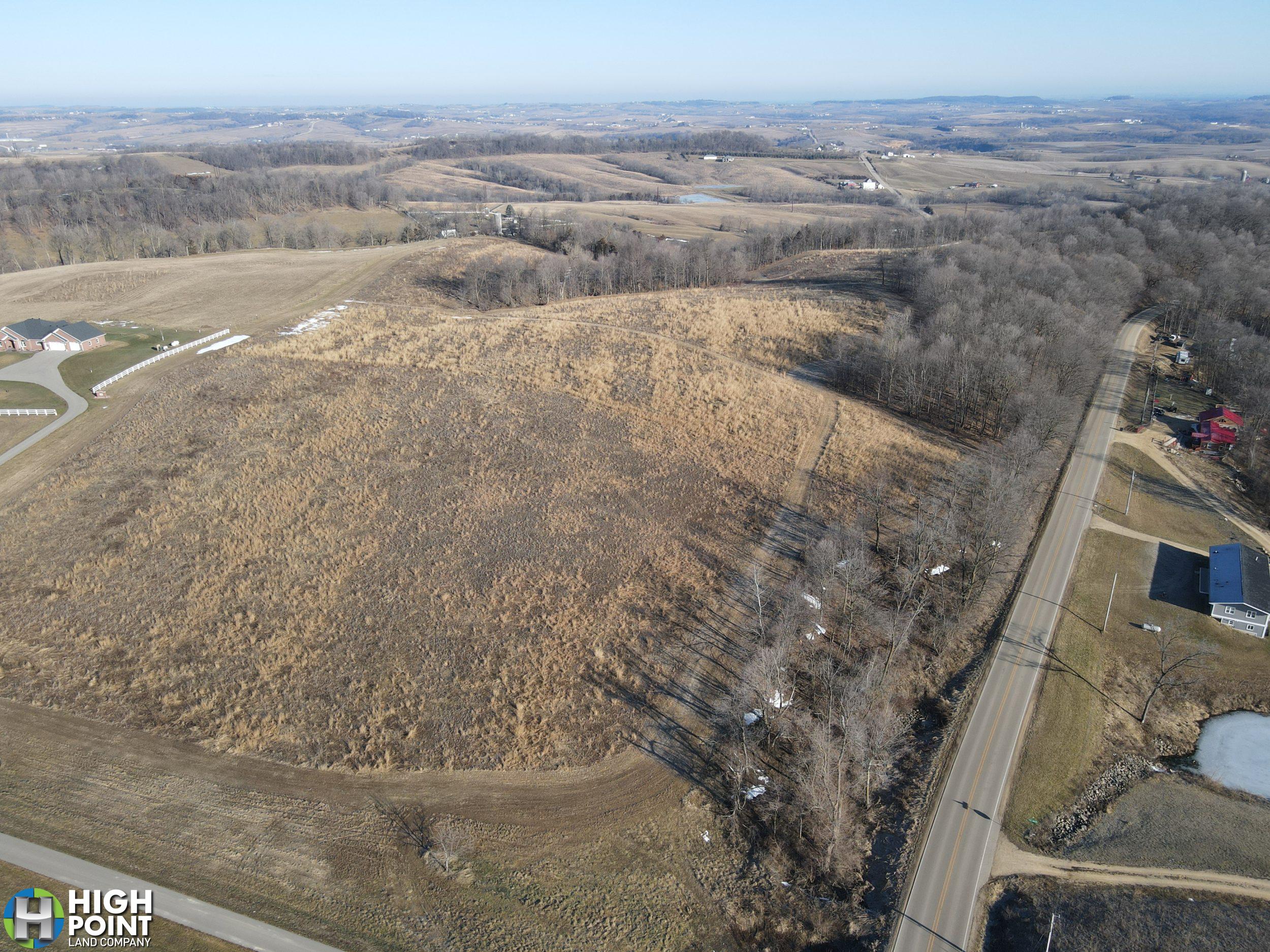
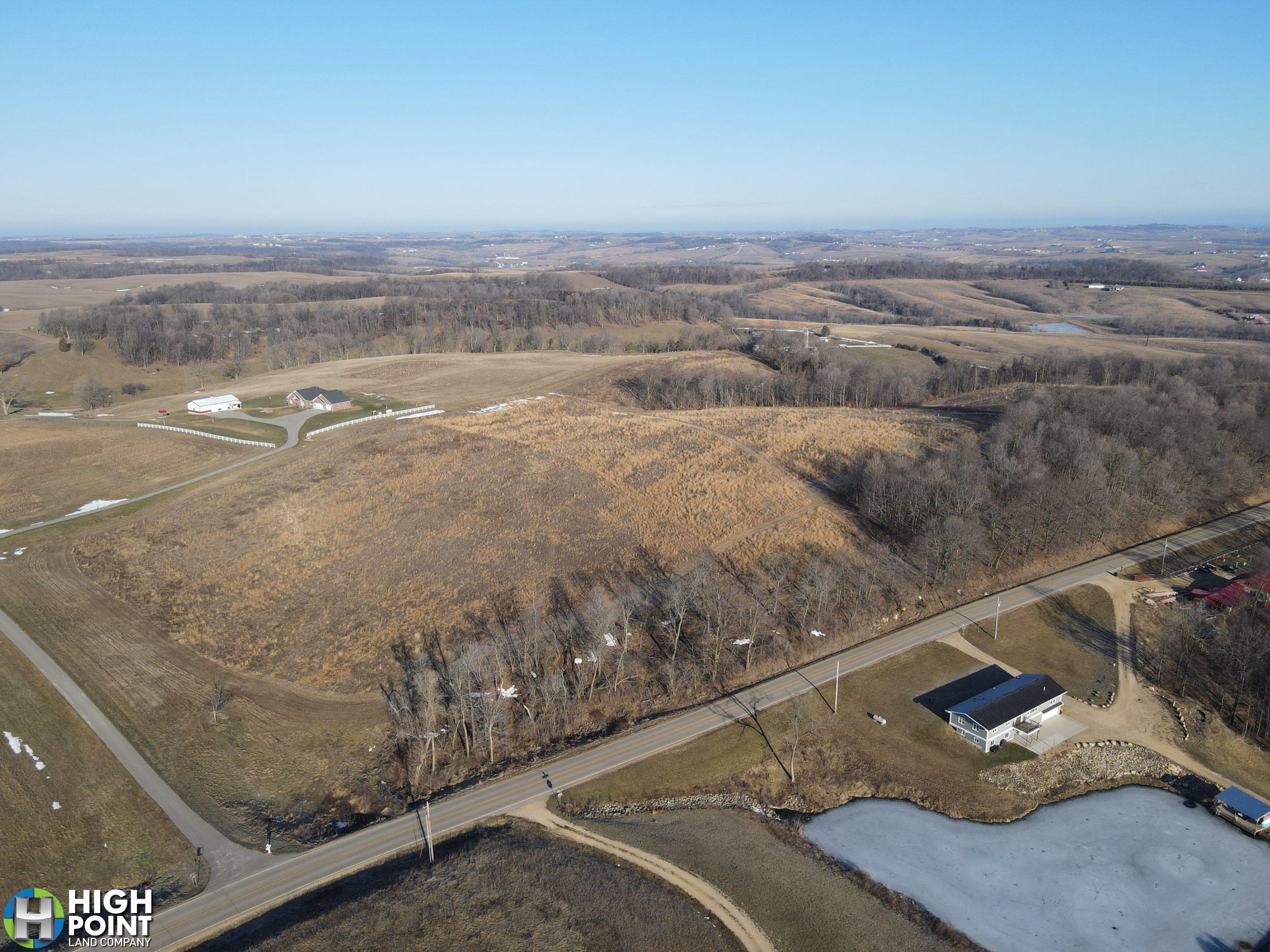
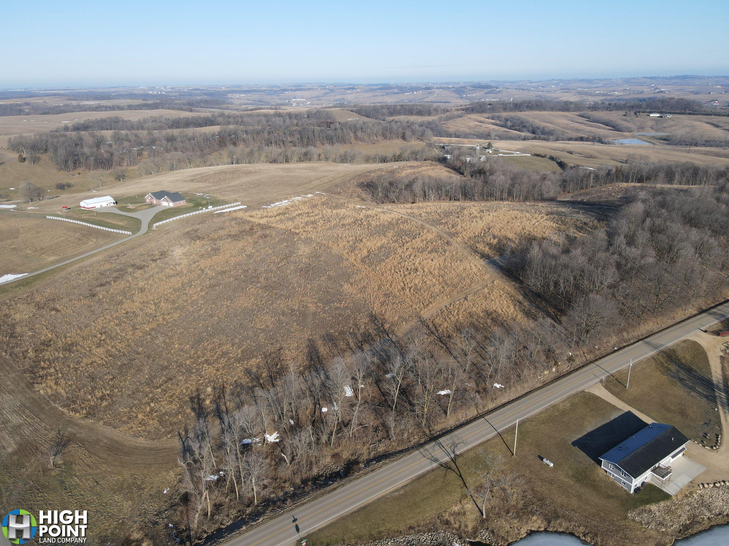
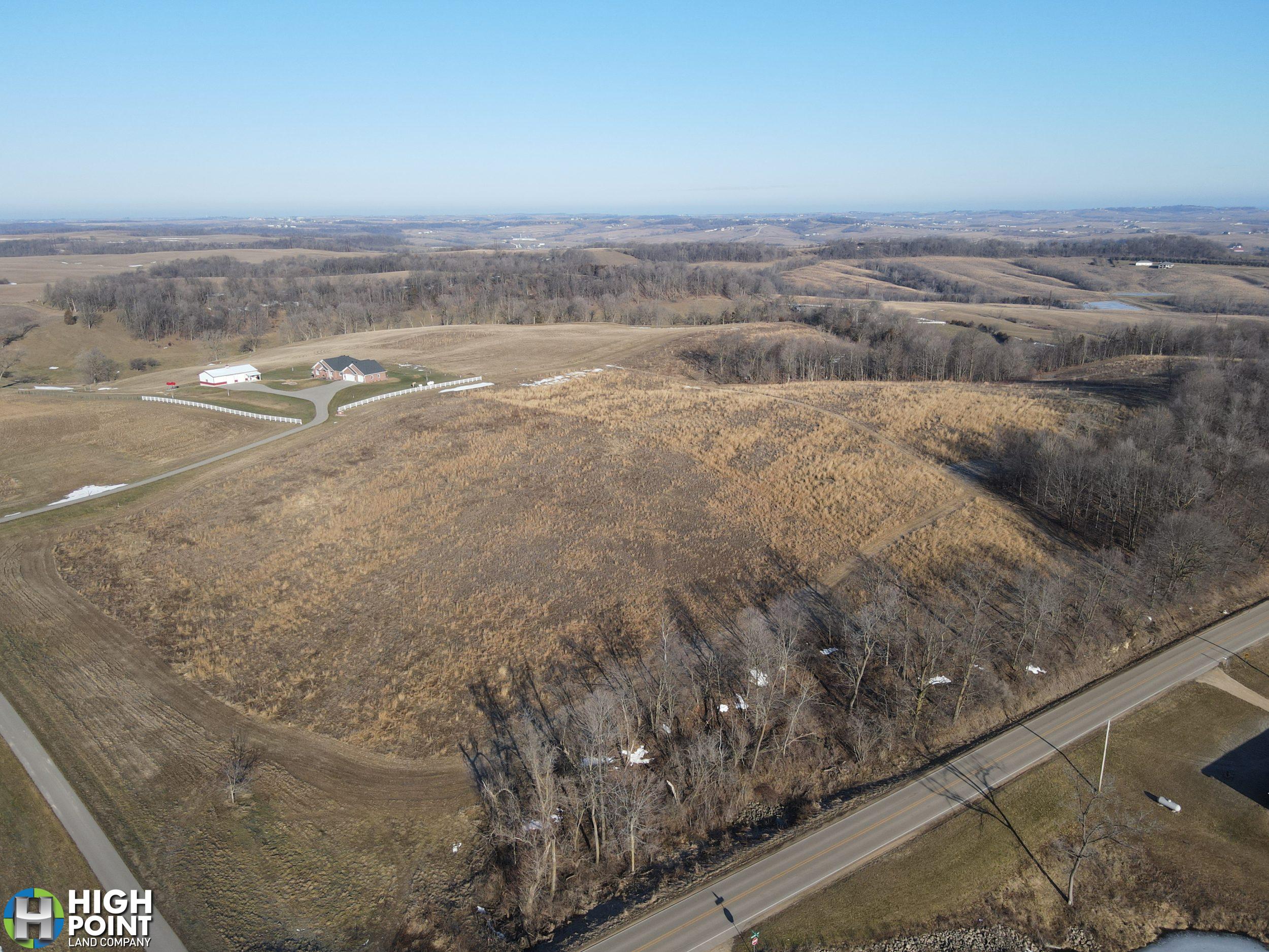
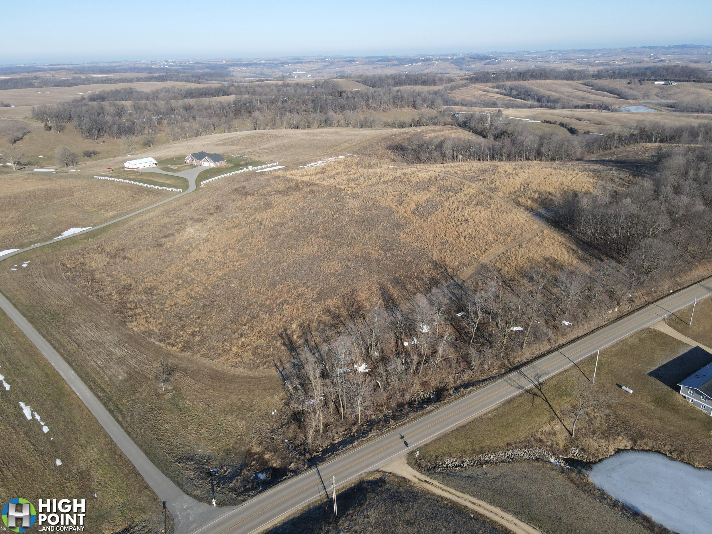
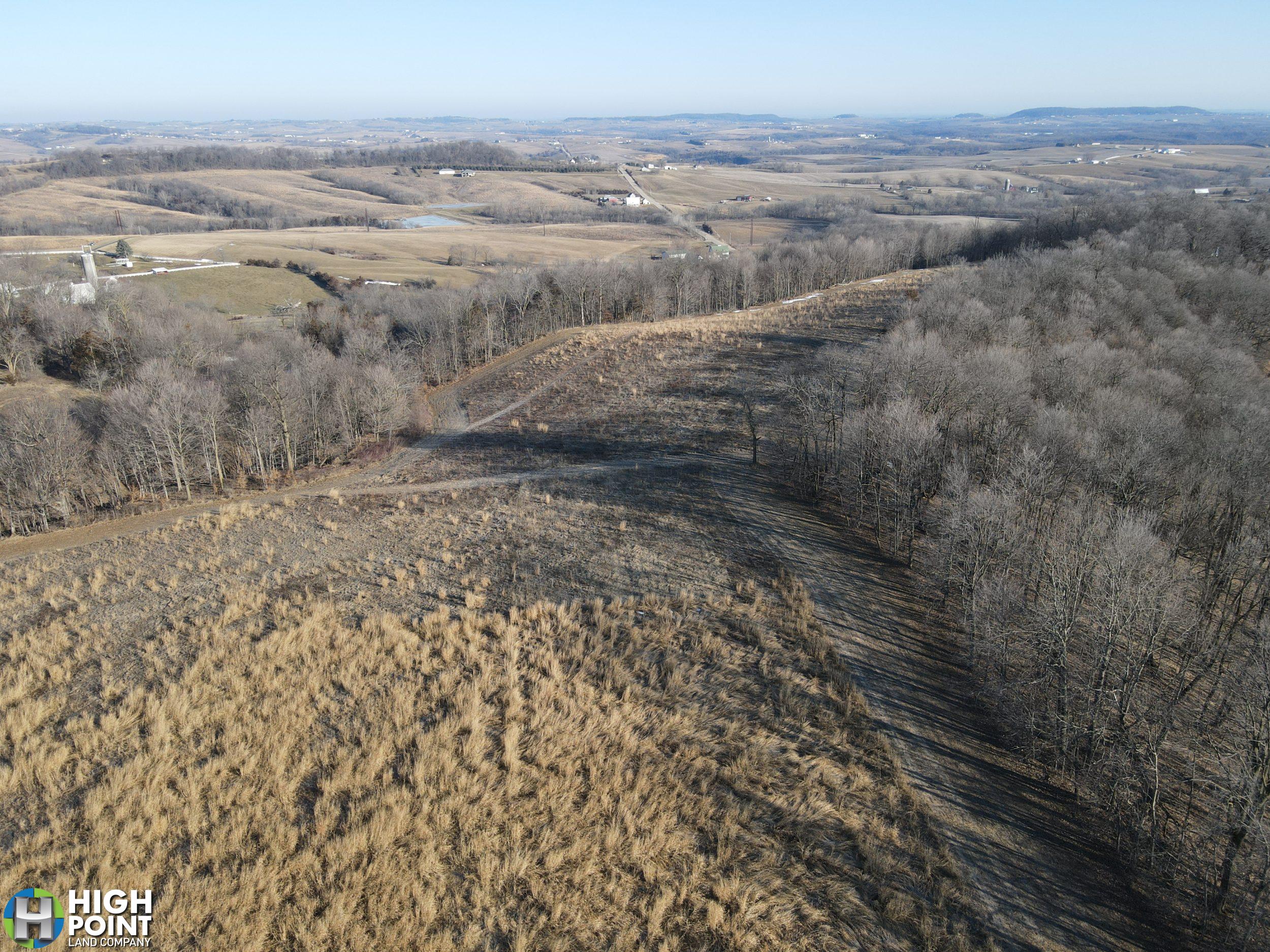
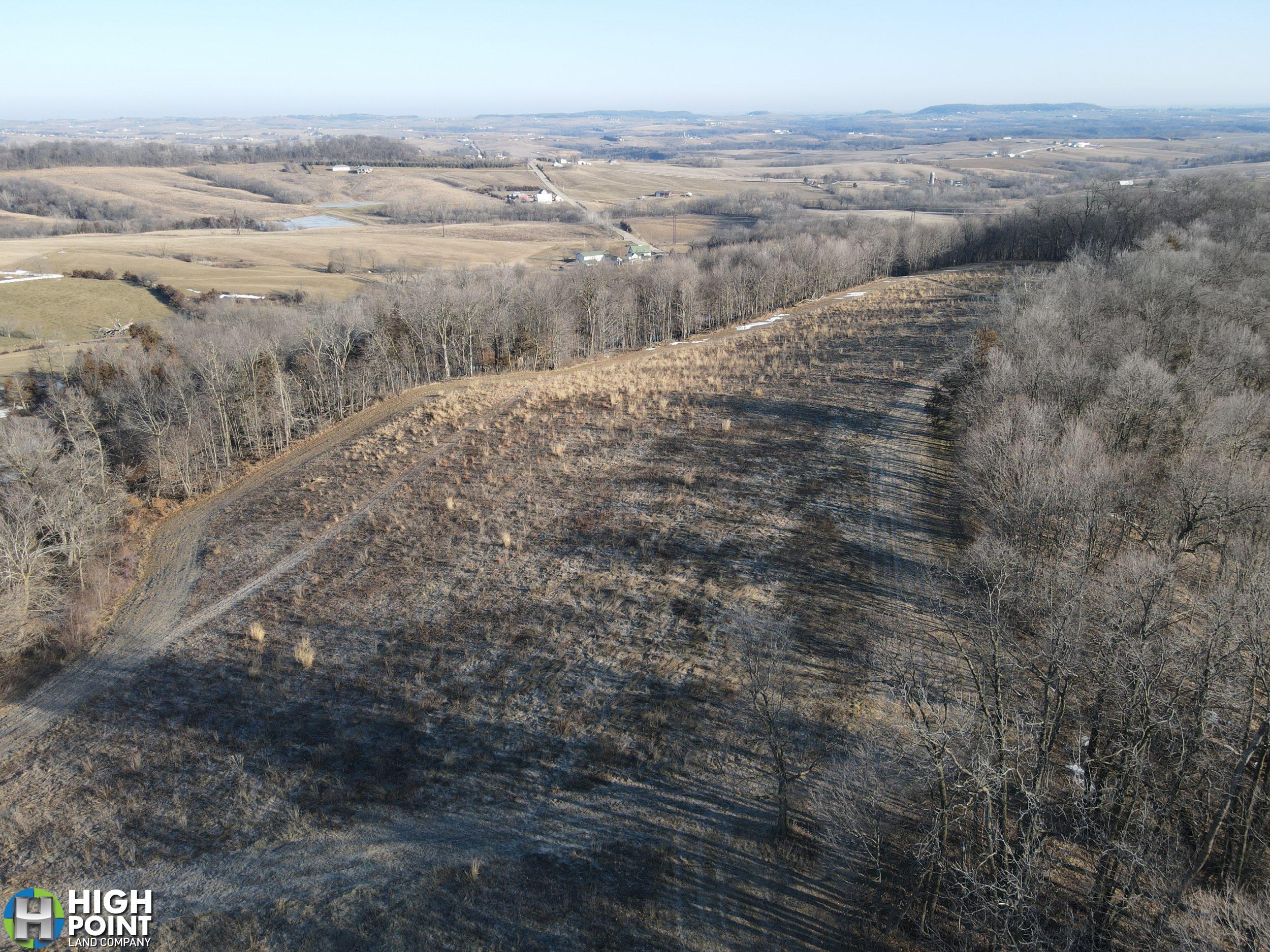
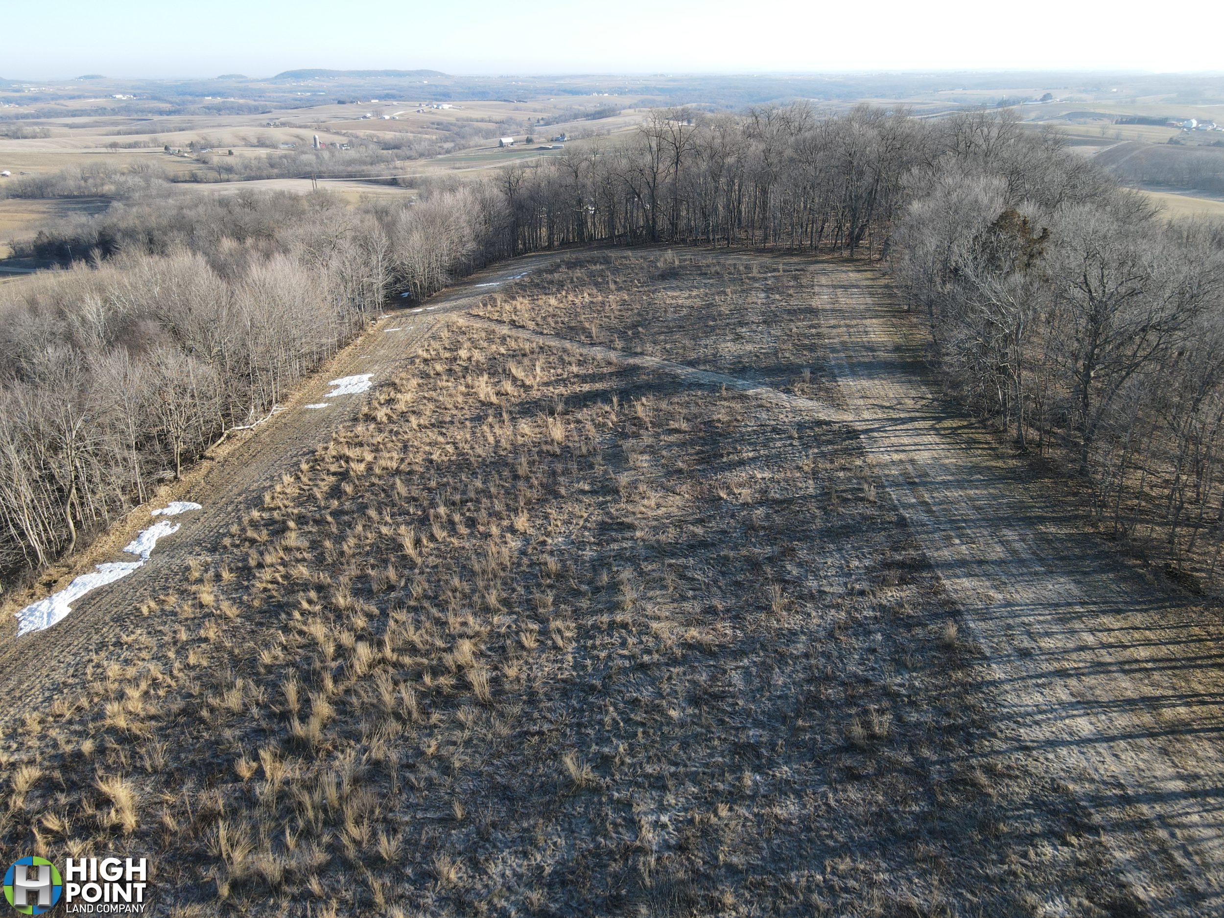
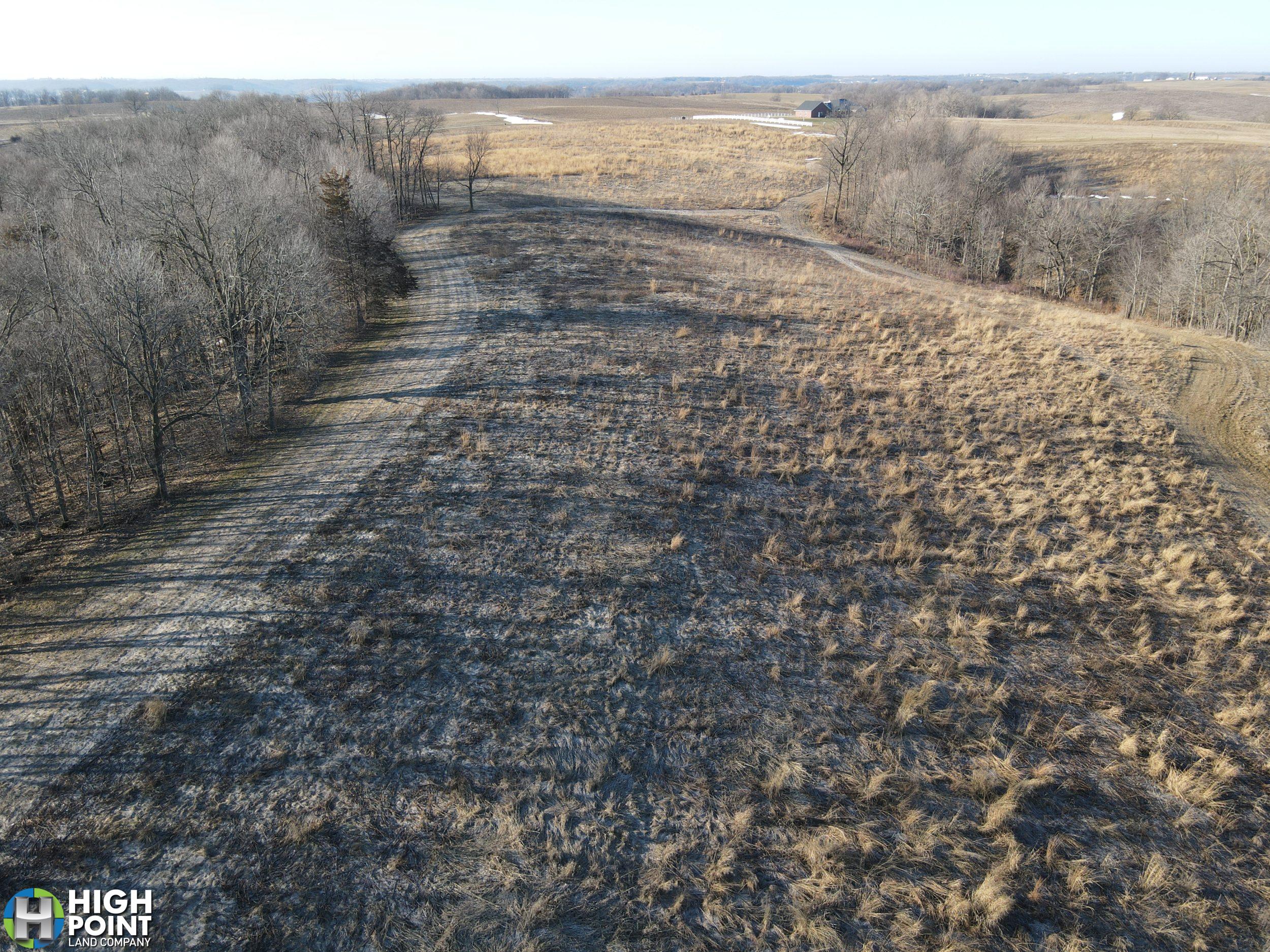
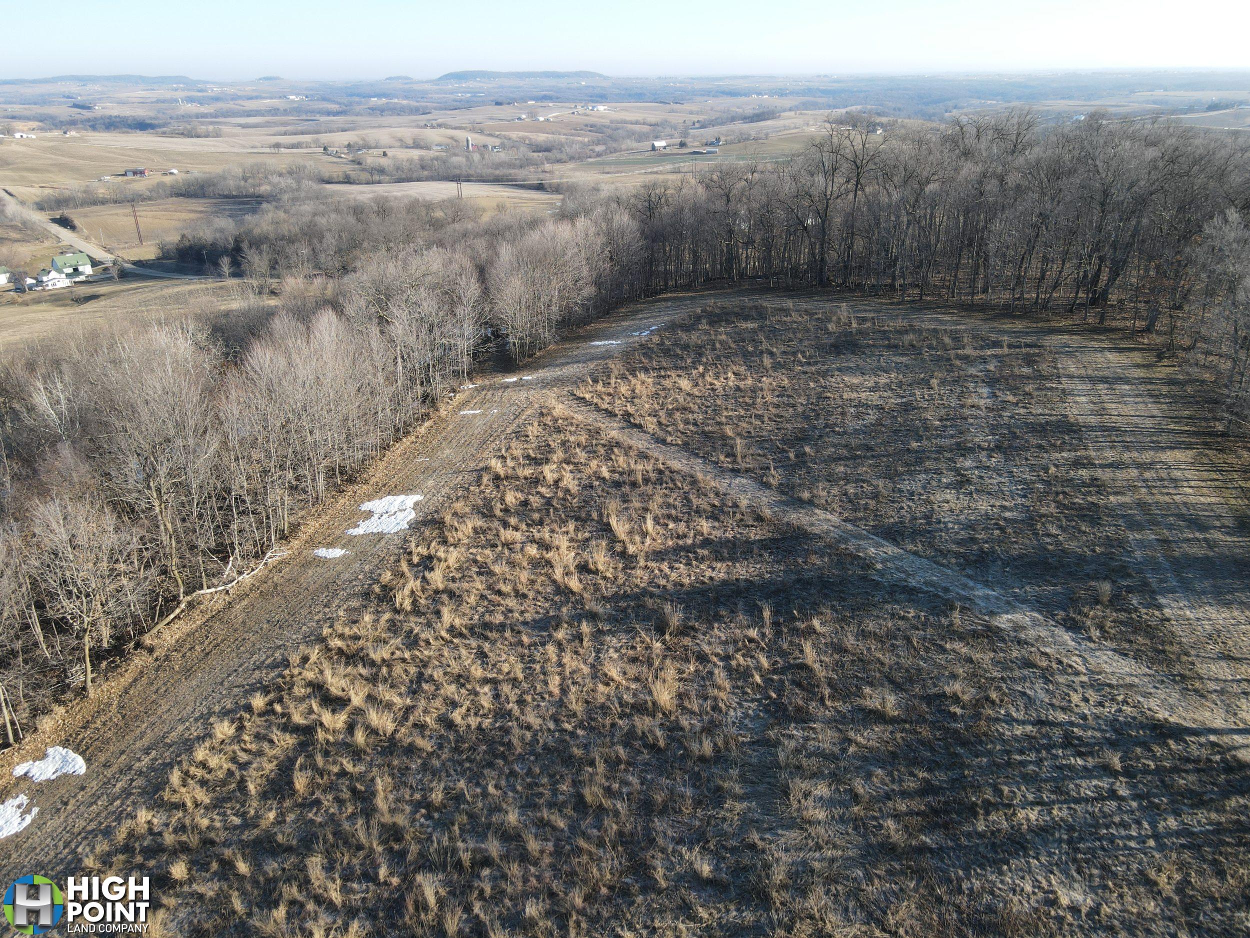
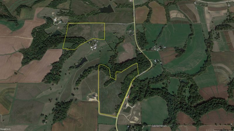
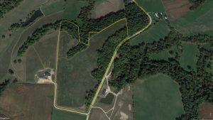
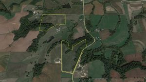
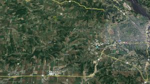
High Point Land Company is excited to present this 35 acre property located in Eastern Iowa. This property is located 7 miles Northwest of Dubuque off of Five Points Road. If you are looking for a quiet, secluded recreational property with an absolutely beautiful Building site with in 10 minutes of Dubuque or Peosta, you need to take a look.
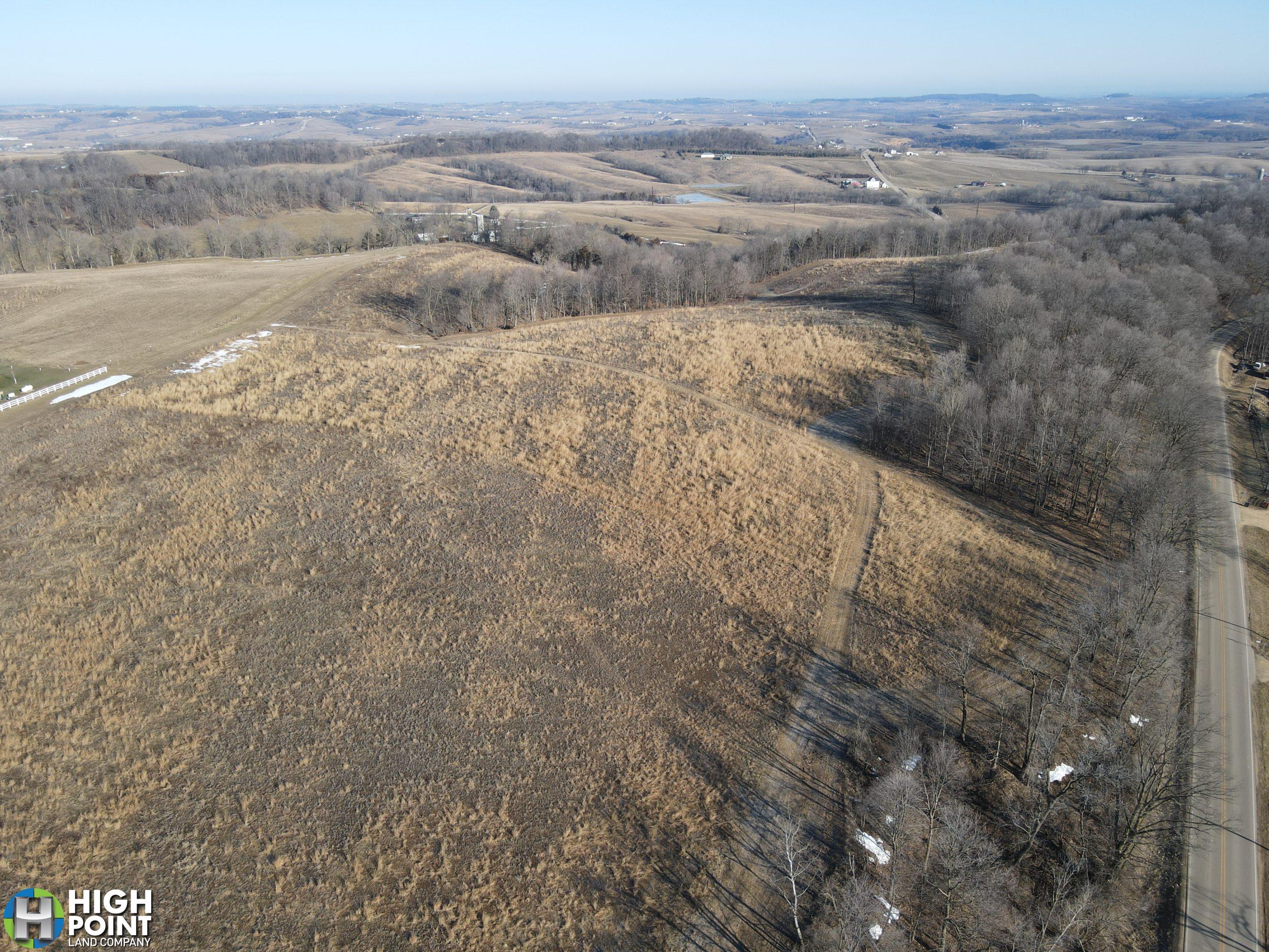
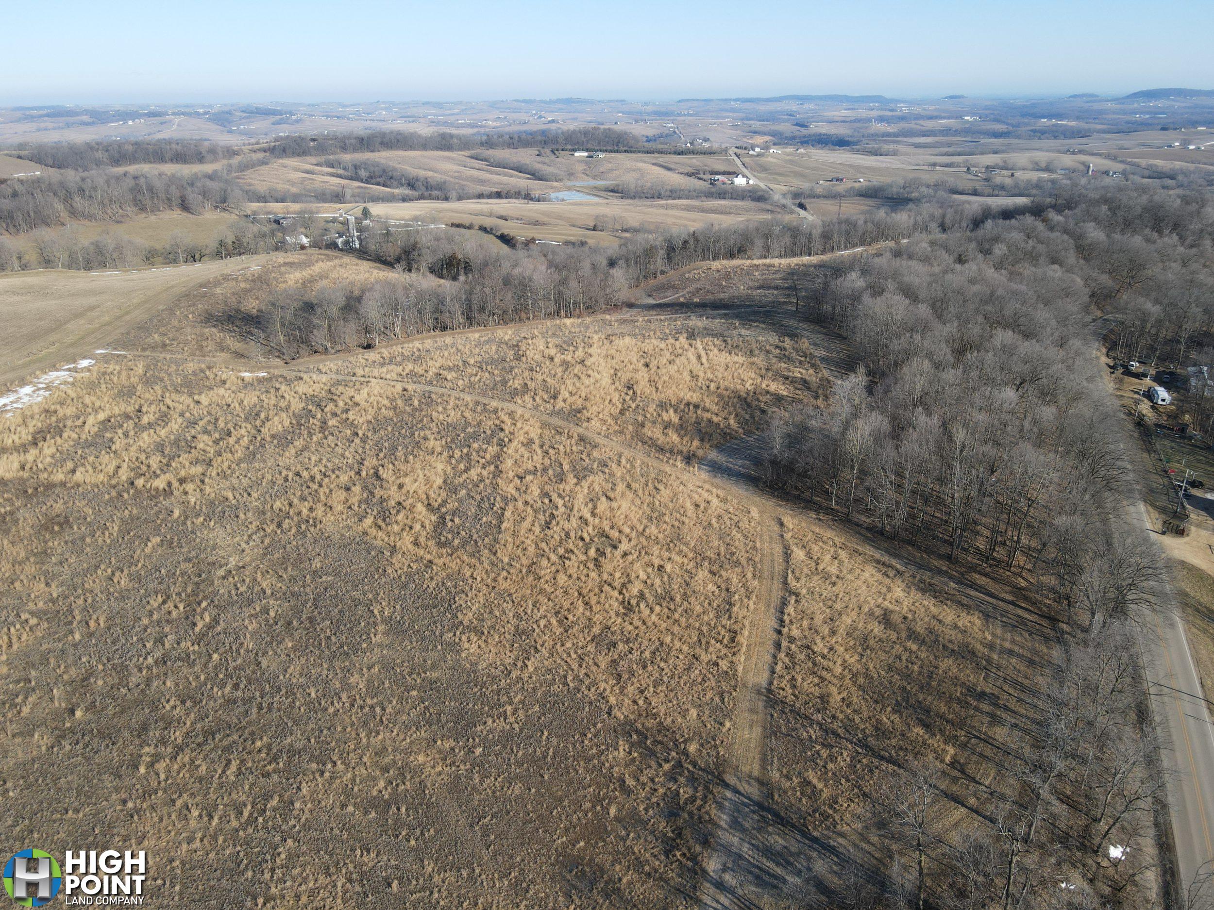
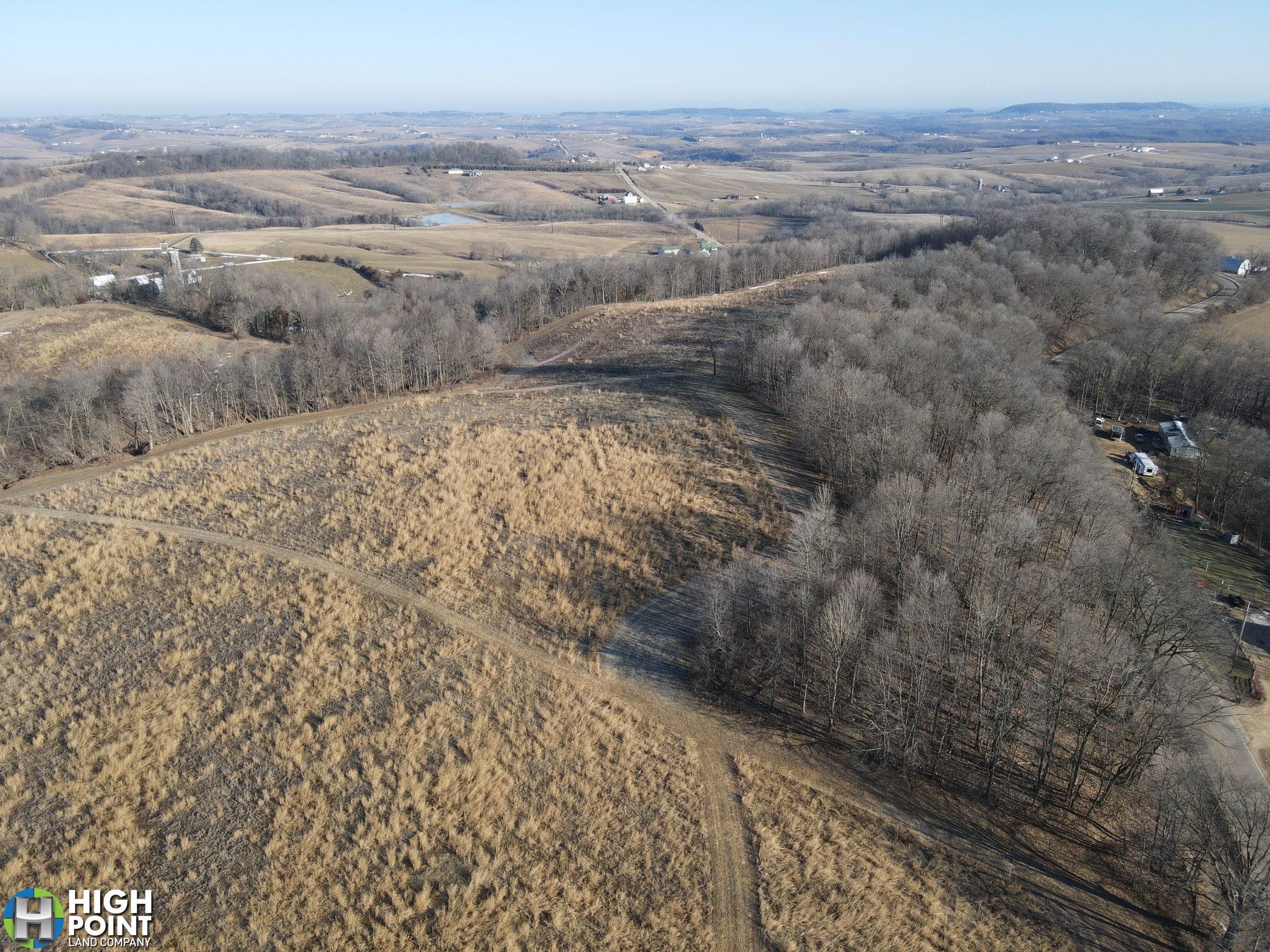
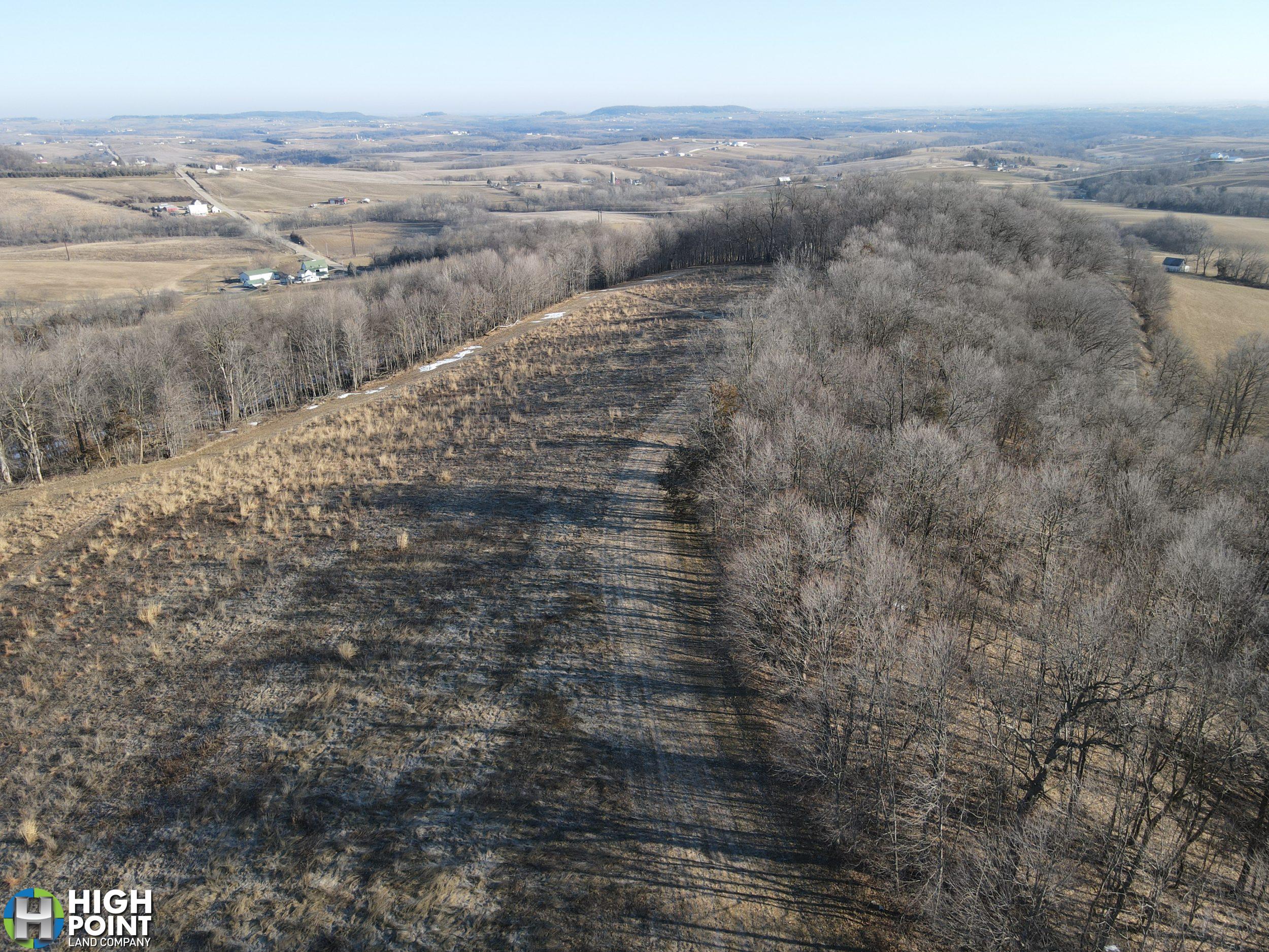
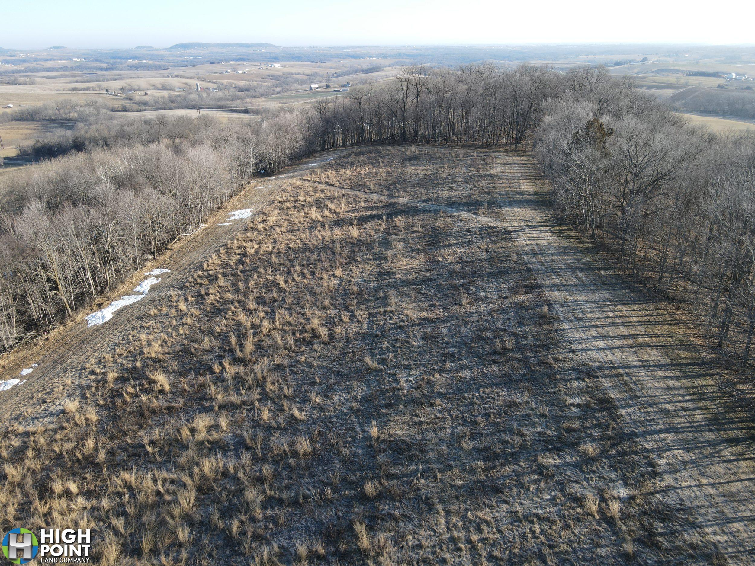
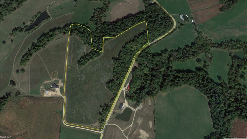
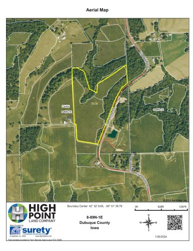
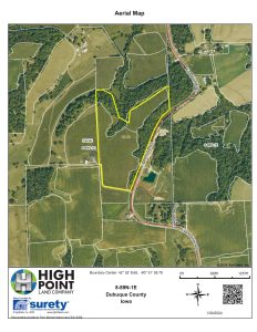
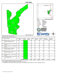
As you enter the property from the South, you follow the open field to the northwest along the ridge with timber acres on both sides of the ridge. There are 22.3 acres of tillable land where the majority of those acres are enrolled in the Conservation Reserve Program, generating $215 per acre and the contract is scheduled to expire September 30th 2027.
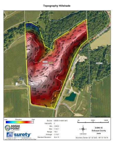
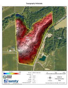
At 35 acres, this tract is not required by the county for rezoning to build a residential house on. The property sets up for many incredible buildable sites anywhere along the high ridge to the North and the views from this property are absolutely beautiful.
With excellent access off of hard surface Five Points Road, this property sets up for an incredible place to build your forever home only minutes from Dubuque or Peosta.
For more information or a private showing, please call Iowa Land Specialist Matt Tobin at 563-451-7390.
Property Address:
TBD Five Points Road, Durango, IA 52039
Property Features:
- 35+/- Acres
- 25.23+/- Tillable Acres
- Income Producing Areas
- Quiet Secluded Property Off of Five Points Road
- Multiple Buildable Sites with Excellent Access
- Beautiful Views in all Directions
- Excellent Location
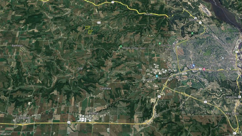
- 6.5 Miles North of Peosta
- 6 Miles Northwest of Asbury
- 7 Miles Northwest of Dubuque
Driving Directions:
From Rickardsville, Travel East on Highway 3 for 1.2 miles. Turn Right (South) on Five Points Road. Travel 2.9 miles and the property lays on the right (West) side of the road.
View Associated Files

Aerial Map
Topography Hillshade Map
Soil Map
Property Information Packet